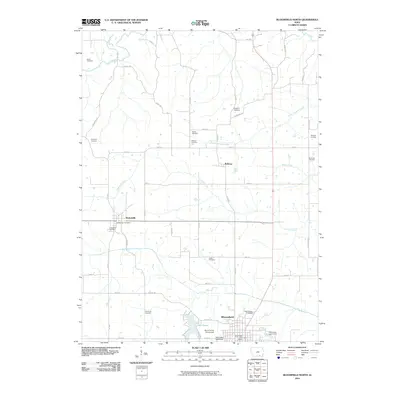
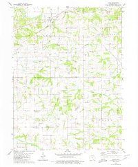
2010 Map of Bloomfield North
USGS Topo · Published 2010About this map
Bloomfield serves as the focal point of this northern Davis County landscape, where the town’s northern outskirts meet the rural agricultural grid of southern Iowa. The terrain is defined by a dendritic network of waterways, including the Fox River, Chequest Creek, and Soap Creek, which carve through the farmland. Local history is deeply embedded in the land through a high density of small family and community burial grounds, such as Kingdom Cemetery, Breeding Cemetery, and Harbour Cemetery, reflecting the early pioneer settlement patterns of the region.
Find a feature on this map
55 named features on this map. Tap any name to fly to it.
Don’t see what you’re looking for? This feature index may not catch every label — zoom into the map to look around manually.
Map Details
Editions of this 2010 Bloomfield North Map
This is the sole edition of this map. No revisions or reprints were ever made.
Other maps of this area

1954 · Centerville
USGS Topo · 1:250,000

1956 · Agency
USGS Topo · 1:24,000

1956 · Ottumwa South
USGS Topo · 1:24,000

1956 · Ottumwa South
USGS Topo · 1:62,500

1957 · Centerville
USGS Topo · 1:250,000

1958 · Centerville
USGS Topo · 1:250,000
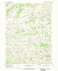
1968 · Blakesburg NE
USGS Topo · 1:24,000
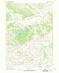
1968 · Paris
USGS Topo · 1:24,000
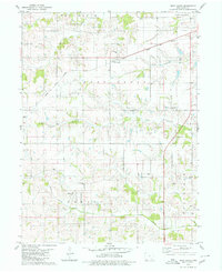
1979 · West Grove
USGS Topo · 1:24,000
1979 · Floris
USGS Topo · 1:24,000