Old Maps of Asbury, Iowa for Metal Detecting
Plan your next treasure hunt with 28 historic maps of Asbury. Find old homesites, ghost towns, trails, and gathering spots that may be lost to time — perfect for identifying promising metal detecting locations.
- Locate forgotten sites: Uncover places like long-lost settlements, abandoned rail lines, or gathering spots.
- Plan better hunts: Use map overlays combined with LiDAR or satellite views to narrow in on historically rich areas.
- Made for detectorists: Thousands of hobbyists use these maps to discover relics, coins, and hidden history.
Use these historic maps to boost your research and find new opportunities beneath the surface of Asbury.
Asbury, IA maps
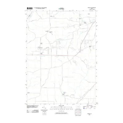
(28)- 1900 Map of Lancaster
 1900 Lancaster1900 Print · USGSGrant County and the Mississippi River bluffs are captured at the close of the nineteenth century, showing a landscape of river towns and ridge-top farms. Researchers can trace the early rail corridors and vanished river landings from Cassville and Potosi to the county seat at Lancaster.
 - 1901 Map of Peosta
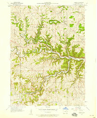
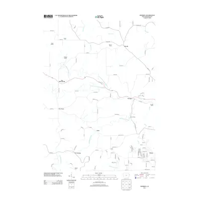
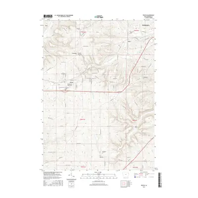
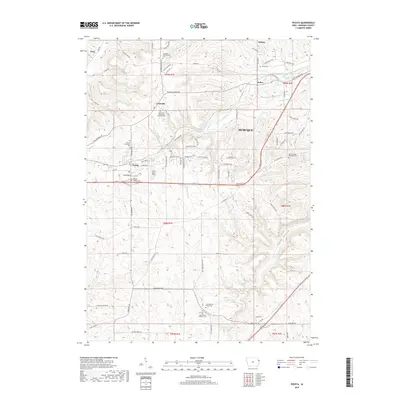
 1901 Peosta1901 Print · USGSDubuque and Jackson counties were a hub of river commerce and early rail expansion at the turn of the century. Genealogists and historians can trace the foundations of communities like Peosta, St.Donatus, and the mill sites at Washington Mills.4 unique versions available
 - 1904 Map of Lancaster, 1953 Print
 1904 Lancaster1953 Print · USGSSouthwest Wisconsin and its neighboring river lands are shown at the turn of the century as railroads began to dominate the ridge tops. Researchers can trace the development of the river-and-rail economy through sites like Spechts Ferry, Sinsinawa Mound, and Lancaster.
 - 1908 Map of Lancaster
 1908 Lancaster1908 Print · USGSGrant County and the Mississippi River border appear in the first decade of the twentieth century, when river crossings and new rail lines defined local commerce. Researchers can trace the landings at Spechts Ferry and Mc Cartney or locate early settlements like British Hollow and Beetown.5 unique versions available
 - 1956 Map of Dubuque North, 1958 Print
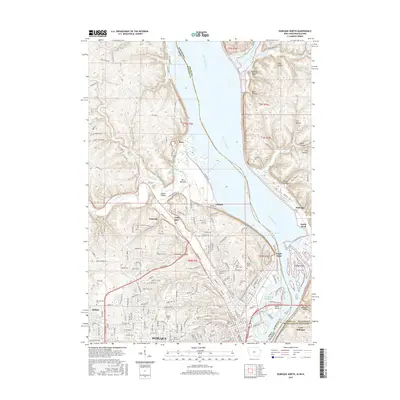
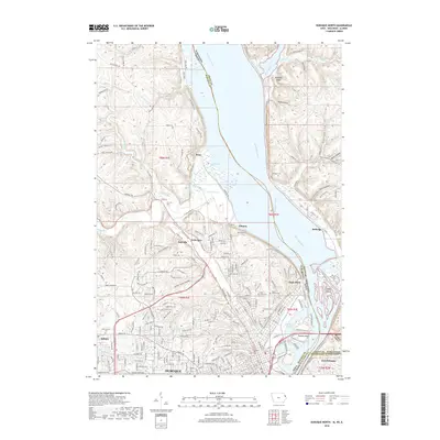
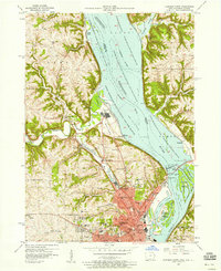 1956 Dubuque North1958 Print · USGSThe tri-state border region around Dubuque comes alive in the mid-1950s, revealing a landscape defined by river industry and deep-rooted community institutions. Researchers can trace the heritage of Loras College, find the old Eagle Point Bridge (Toll), and locate family sites near Linwood Cemetery.5 unique versions available
 - 1956 Map of Sherrill, 1958 Print
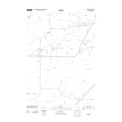
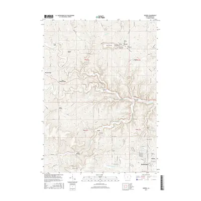
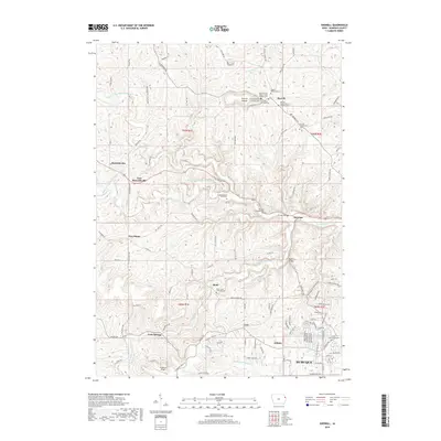
 1956 Sherrill1958 Print · USGSDubuque County in the mid-fifties remains a landscape of tightly-knit rural communities and family-named hollows. Researchers can trace the legacy of local education and faith at St Johns Ch, Bloody Run Sch, and the riverside crossing at Redford Bridge.2 unique versions available
 - 1959 Map of Dubuque, 1982 Print
 1959 Dubuque1982 Print · USGSThe Tri-State region comes alive in the mid-twentieth century as a hub of river commerce and rail transit. Genealogists and historians can trace the paths of the Illinois Central Gulf through Dubuque or locate the Savanna Ordnance Depot and Lock and Dam No 11.
 - 1961 Map of Dubuque
 1961 Dubuque1961 Print · USGSThe Tri-State region's river-and-rail landscape is captured here during the early sixties, showing the convergence of Iowa, Illinois, and Wisconsin. Trace mid-century rail lines like the Chicago Great Western Ry and explore sites like the Savanna Ordnance Depot and Backbone State Park.
 - 1962 Map of Dubuque
 1962 Dubuque1962 Print · USGSThe Tri-State region's river-and-rail economy is captured here in the early sixties, centered on the Mississippi River bluffs. Genealogists and historians can locate Numerous lead and zinc mines, the New Melleray Abbey Monastery, and rural hubs like Saint Olaf.2 unique versions available
 - 1966 Map of Peosta, 1968 Print
 1966 Peosta1968 Print · USGSDubuque County communities and religious landmarks are preserved here in the mid-1960s. Researchers can trace the rail corridors of the Illinois Central and find historic sites like New Melleray Abbey and Centralia Ch.2 unique versions available
 - 1976 Map of Dubuque
 1976 Dubuque1976 Print · USGSThe tri-state borderlands of Iowa, Wisconsin, and Illinois come alive during the mid-seventies, showing a region built on river commerce and mining. Genealogists and historians can trace the paths of the Illinois Central railroad or locate heritage sites like the New Melleray Abbey Monastery and Backbone State Park.
 - 1984 Map of Dubuque North, 1985 Print
 1984 Dubuque North1985 Print · USGSThis Tri-State region was a hub of Midwestern mining and river commerce in the mid-eighties. Researchers can trace the legacy of the Lead District through specific sites like Annie Mine or locate early civic centers such as First Capitol State Park.2 unique versions available
 - 1984 Map of Dubuque South, 1985 Print
 1984 Dubuque South1985 Print · USGSEastern Iowa and Northwest Illinois meet along the Mississippi in the mid-eighties, a landscape defined by river industry and limestone bluffs. Trace the rail lines of the Illinois Central Gulf or explore notable sites like the Savanna Army Depot and Maquoketa Caves State Park.4 unique versions available
 - 2010 Map of Sherrill, 2010 Print
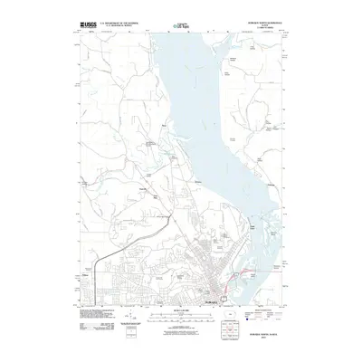
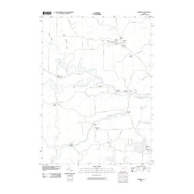 2010 Sherrill2010 Print · USGSCovers Asbury, including Dubuque, Rickardsville, and other nearby areas
 - 2010 Map of Peosta, 2010 Print
 2010 Peosta2010 Print · USGSCovers Asbury, including Dubuque, Peosta, and other nearby areas
 - 2010 Map of Dubuque North, 2010 Print
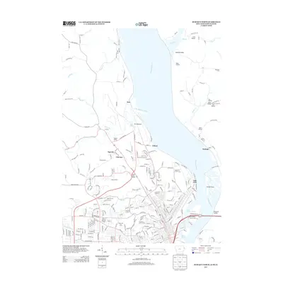
 2010 Dubuque North2010 Print · USGSCovers Asbury, including Dubuque, Jamestown, and other nearby areas
 - 2013 Map of Sherrill, 2013 Print
 2013 Sherrill2013 Print · USGSCovers Asbury, including Dubuque, Rickardsville, and other nearby areas
 - 2013 Map of Dubuque North, 2013 Print
 2013 Dubuque North2013 Print · USGSCovers Asbury, including Dubuque, Jamestown, and other nearby areas
 - 2013 Map of Peosta, 2013 Print
 2013 Peosta2013 Print · USGSCovers Asbury, including Dubuque, Peosta, and other nearby areas
 - 2015 Map of Peosta, 2015 Print
 2015 Peosta2015 Print · USGSCovers Asbury, including Dubuque, Peosta, and other nearby areas
 - 2015 Map of Sherrill, 2015 Print
 2015 Sherrill2015 Print · USGSCovers Asbury, including Dubuque, Rickardsville, and other nearby areas
 - 2015 Map of Dubuque North, 2015 Print
 2015 Dubuque North2015 Print · USGSCovers Asbury, including Dubuque, Jamestown, and other nearby areas
 - 2018 Map of Sherrill, 2018 Print
 2018 Sherrill2018 Print · USGSCovers Asbury, including Dubuque, Rickardsville, and other nearby areas
 - 2018 Map of Dubuque North, 2018 Print
 2018 Dubuque North2018 Print · USGSCovers Asbury, including Dubuque, Jamestown, and other nearby areas
 - 2018 Map of Peosta, 2018 Print
 2018 Peosta2018 Print · USGSCovers Asbury, including Dubuque, Peosta, and other nearby areas
Showing maps 1-25 of 28
Top cities near Asbury
- Dubuque historical maps
- Cascade historical maps
- Jamestown historical maps
- Epworth historical maps
- East Dubuque historical maps
- Peosta historical maps
See more
Top neighborhoods of Asbury
Frequently asked questions
- What are the different types of historical maps available for Asbury?
- What is the oldest map of Asbury?
- Where can I purchase historical maps of Asbury for my home or office?
- Where can I download high-res historical maps of Asbury?
- Are there historical topographic maps available for Asbury?
- Is there historical aerial imagery available for Asbury?
- Where are historical maps of Asbury sourced from?