Old Maps of Ringsted, Iowa for Genealogy
Trace your family roots with 15 historic maps of Ringsted. These high-res maps reveal old neighborhoods, homesites, landmarks, and streets — helping you uncover where your ancestors lived and how the area evolved over time.
- Explore historic neighborhoods: Identify where your relatives may have lived in the 1800s or 1900s.
- Compare maps over time: Trace the changes in streets, buildings, and landmarks for multi-generational research.
- Perfect for genealogy & ancestry research: Used by family historians and researchers to map out lineage and migration.
These maps are an incredible resource for exploring your personal connection to Ringsted's past.
Ringsted, IA maps
(15)- 1954 Map of Fairmont, 1967 Print
 1954 Fairmont1967 Print · USGSThe prairie landscape of southern Minnesota and northern Iowa comes alive in this mid-century survey of the Coteau des Prairies. Genealogists and historians can trace the rail-connected growth of Fairmont and Blue Earth or locate family roots near St Kilian Ch and Union Slough National Wildlife Refuge.3 unique versions available
 - 1958 Map of Fairmont
 1958 Fairmont1958 Print · USGSThe borderlands of southern Minnesota and northern Iowa come alive in the mid-1950s, showing a landscape defined by glacial lakes and rail-line commerce. Researchers can trace historic landmarks like Lakeside Laboratory, Gridley Station, and the Bancroft Wildlife Refuge across the prairie.
 - 1980 Map of Seneca
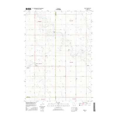
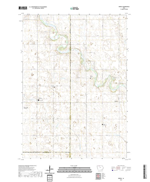
 1980 Seneca1980 Print · USGSThe rural landscape of northern Iowa is captured here in the late twentieth century, showing the farmsteads and resource extraction sites along the East Fork Des Moines River. Genealogists and local historians can trace legacy sites like St Pauls Cem and Blakjer Ch.
 - 1980 Map of Ringsted
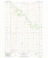
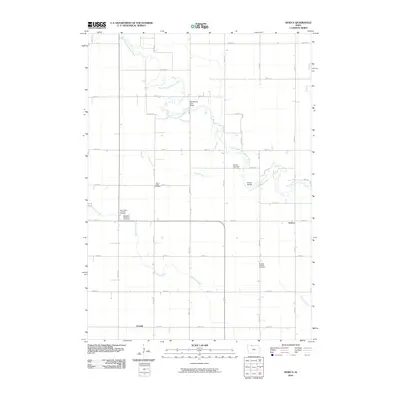
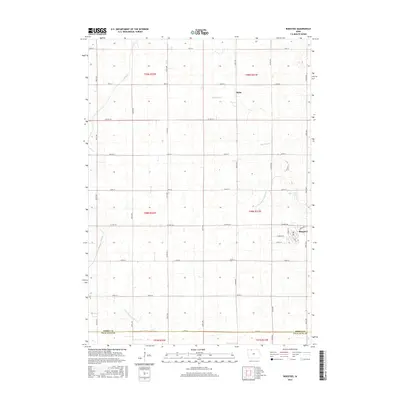
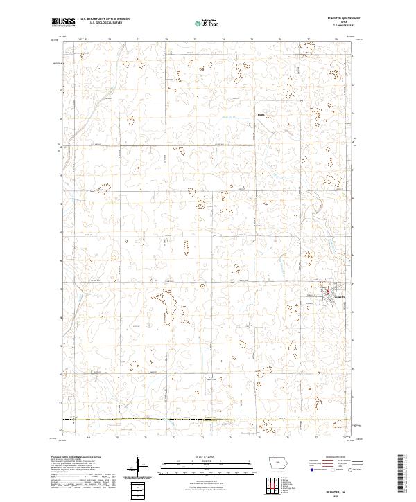
 1980 Ringsted1980 Print · USGSEmmet County, Iowa, is shown here in the late twentieth century as its agricultural landscape matured around established towns. Genealogists and historians can trace the streets of Ringsted, the settlement at Halfa, and the remnants of an Old Railroad Grade.
 - 1985 Map of Estherville
 1985 Estherville1985 Print · USGSNorthern Iowa in the mid-eighties was a landscape of grid-patterned agriculture and vast marshland conservation. Genealogists can locate rural landmarks like Oak Hill Cemetery and Fourmile Lake School, or trace the rail lines of the Chicago and North Western.2 unique versions available
 - 2010 Map of Ringsted, 2010 Print
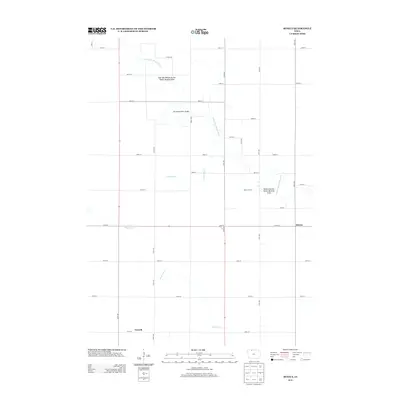
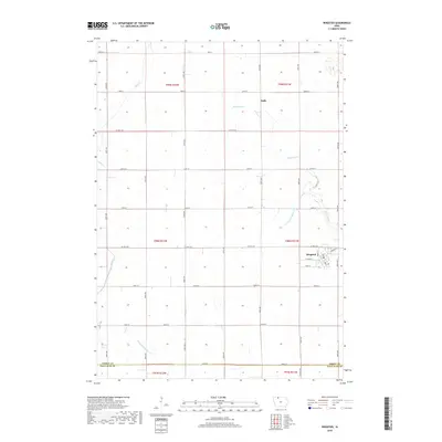
 2010 Ringsted2010 Print · USGSCovers Ringsted, including Hoprig, Halfa, and other nearby areas
 - 2010 Map of Seneca, 2010 Print
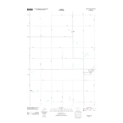
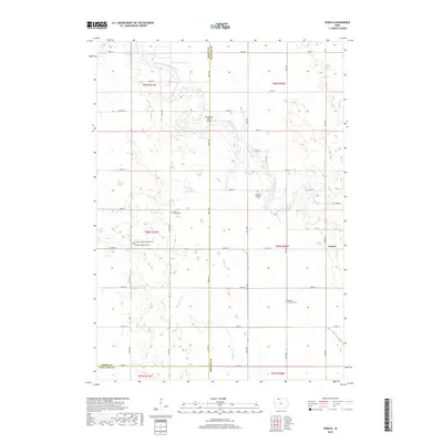
 2010 Seneca2010 Print · USGSCovers Ringsted, including Seneca, Forsyth, and other nearby areas
 - 2013 Map of Seneca, 2013 Print
 2013 Seneca2013 Print · USGSCovers Ringsted, including Seneca, Forsyth, and other nearby areas
 - 2013 Map of Ringsted, 2013 Print
 2013 Ringsted2013 Print · USGSCovers Ringsted, including Hoprig, Halfa, and other nearby areas
 - 2015 Map of Seneca, 2015 Print
 2015 Seneca2015 Print · USGSCovers Ringsted, including Seneca, Forsyth, and other nearby areas
 - 2015 Map of Ringsted, 2015 Print
 2015 Ringsted2015 Print · USGSCovers Ringsted, including Hoprig, Halfa, and other nearby areas
 - 2018 Map of Ringsted, 2018 Print
 2018 Ringsted2018 Print · USGSCovers Ringsted, including Hoprig, Halfa, and other nearby areas
 - 2018 Map of Seneca, 2018 Print
 2018 Seneca2018 Print · USGSCovers Ringsted, including Seneca, Forsyth, and other nearby areas
 - 2022 Map of Seneca, 2022 Print
 2022 Seneca2022 Print · USGSNorthern Iowa farmland at the start of the 2020s shows a landscape of long-held family ties and river drainage. Genealogists can trace local history through sites like Saint Pauls Lutheran Cem and Memorial Cem near Ringsted.
 - 2022 Map of Ringsted, 2022 Print
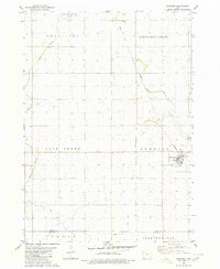
 2022 Ringsted2022 Print · USGSEmmet County at the start of the 2020s shows a landscape defined by industrial-scale agriculture and critical water management. Researchers can trace the layout of Ringsted, find the rural cluster at Halfa, and follow drainage networks like Black Cat Cr.
End of results
Showing maps 1-15 of 15
Top cities near Ringsted
- Emmetsburg historical maps
- Armstrong historical maps
- Swea City historical maps
- Fenton historical maps
- Lone Rock historical maps
- Cylinder historical maps
See more
Frequently asked questions
- What are the different types of historical maps available for Ringsted?
- What is the oldest map of Ringsted?
- Where can I purchase historical maps of Ringsted for my home or office?
- Where can I download high-res historical maps of Ringsted?
- Are there historical topographic maps available for Ringsted?
- Is there historical aerial imagery available for Ringsted?
- Where are historical maps of Ringsted sourced from?