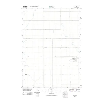
2010 Map of Ringsted
USGS Topo · Published 2010About this map
Ringsted serves as the primary hub of this eastern Emmet County landscape, where the town's street grid contrasts with the surrounding agricultural geometry. The Ringsted Post Office stands at the center of the community, which is situated near the winding course of Black Cat Creek. The map documents a classic Iowa prairie-plains layout, defined by an expansive section-line road system including 240th St and 550th Ave.
Find a feature on this map
23 named features on this map. Tap any name to fly to it.
Don’t see what you’re looking for? This feature index may not catch every label — zoom into the map to look around manually.
Map Details
Editions of this 2010 Ringsted Map
This is the sole edition of this map. No revisions or reprints were ever made.
Other maps of this area

1954 · Fairmont
USGS Topo · 1:250,000

1958 · Fairmont
USGS Topo · 1:250,000

1980 · Fenton
USGS Topo · 1:24,000

1980 · Depew
USGS Topo · 1:24,000

1980 · Seneca
USGS Topo · 1:24,000

1980 · Armstrong
USGS Topo · 1:24,000

1980 · Ringsted
USGS Topo · 1:24,000

1980 · Ingham Lake
USGS Topo · 1:24,000

1980 · Gruver
USGS Topo · 1:24,000

1980 · Graettinger East
USGS Topo · 1:24,000