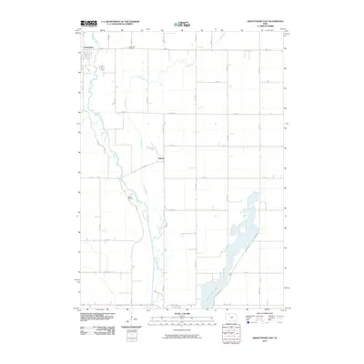
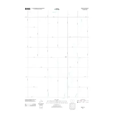
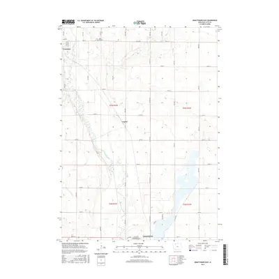
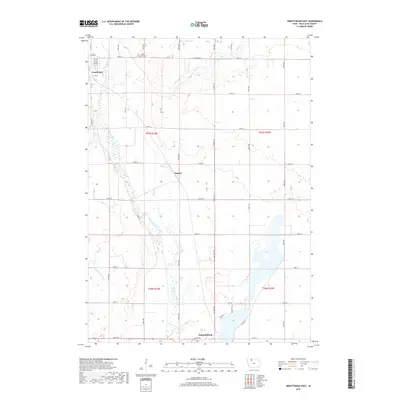
1980 Map of Graettinger East
USGS Topo · Published 1980About this map
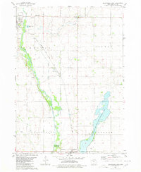
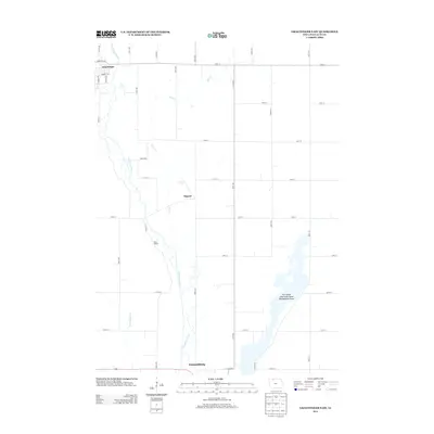
Graettinger and the surrounding agricultural townships of Walnut, Vernon, and Freedom anchor this 1980s landscape, where the Chicago Rock Island and Pacific railroad cuts a diagonal line through the prairie. The survey reveals a region defined by its water and conservation efforts, dominated by the winding course of the Des Moines River and the expansive Five Island Lake State Game Management Area in the southeast.
Find a feature on this map
23 named features on this map. Tap any name to fly to it.
Don’t see what you’re looking for? This feature index may not catch every label — zoom into the map to look around manually.
Map Details
Editions of this 1980 Graettinger East Map
This is the sole edition of this map. No revisions or reprints were ever made.
Historical Maps of Emmetsburg Through Time
24 maps found
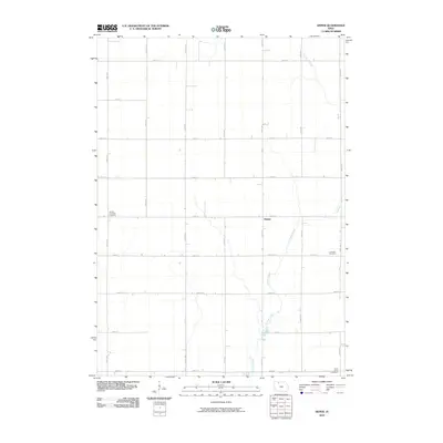
1971 Rush Lake East
Palo Alto County, IA
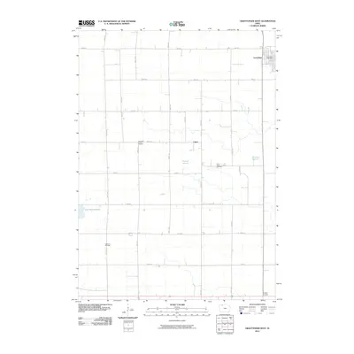
1972 Graettinger West
Palo Alto County, IA
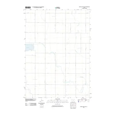
1980 Depew
Palo Alto County, IA
1980 Graettinger East
Palo Alto County, IA
2010 Depew
Palo Alto County, IA
2010 Graettinger East
Palo Alto County, IA
2010 Graettinger West
Palo Alto County, IA
2010 Rush Lake East
Palo Alto County, IA
2013 Depew
Palo Alto County, IA
2013 Graettinger East
Palo Alto County, IA
2013 Graettinger West
Palo Alto County, IA
2013 Rush Lake East
Palo Alto County, IA
2015 Depew
Palo Alto County, IA
2015 Graettinger East
Palo Alto County, IA
2015 Graettinger West
Palo Alto County, IA
2015 Rush Lake East
Palo Alto County, IA
2018 Depew
Palo Alto County, IA
2018 Graettinger East
Palo Alto County, IA
2018 Graettinger West
Palo Alto County, IA
2018 Rush Lake East
Palo Alto County, IA
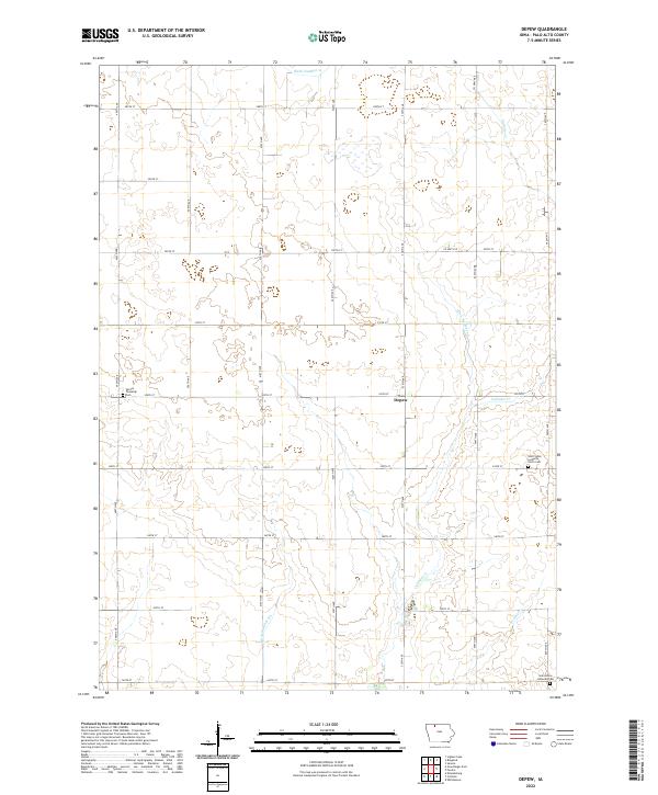
2022 Depew
Palo Alto County, IA
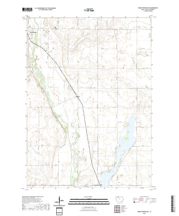
2022 Graettinger East
Palo Alto County, IA
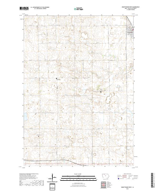
2022 Graettinger West
Palo Alto County, IA
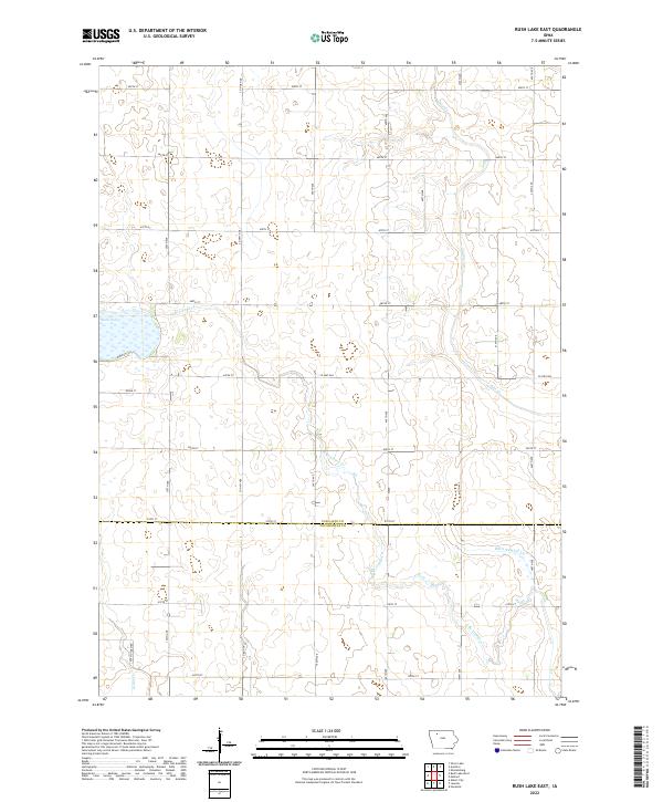
2022 Rush Lake East
Palo Alto County, IA