
1972 Map of Graettinger West
USGS Topo · Published 1974About this map
Glacial depressions and wetlands define this portion of Palo Alto County, where the landscape is a patchwork of marshes and prairie potholes. The town of Graettinger sits at the northeastern corner, serving as a focal point for the surrounding agricultural townships of Lost Island, Walnut, Highland, and Emmetsburg. This 1972 survey reveals a region heavily invested in conservation, evidenced by the extensive Fallow Marsh State Game Management Area and Blue Wing Marsh State Game Management Area.
Find a feature on this map
20 named features on this map. Tap any name to fly to it.
Don’t see what you’re looking for? This feature index may not catch every label — zoom into the map to look around manually.
Map Details
Editions of this 1972 Graettinger West Map
This is the sole edition of this map. No revisions or reprints were ever made.
Other maps of this area

1954 · Fairmont
USGS Topo · 1:250,000

1958 · Fairmont
USGS Topo · 1:250,000

1972 · Terril
USGS Topo · 1:24,000

1972 · Wallingford
USGS Topo · 1:24,000

1972 · Ayrshire
USGS Topo · 1:24,000
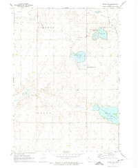
1972 · Silver Lake
USGS Topo · 1:24,000
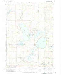
1972 · Ruthven
USGS Topo · 1:24,000

1980 · Ingham Lake
USGS Topo · 1:24,000

1980 · Graettinger East
USGS Topo · 1:24,000
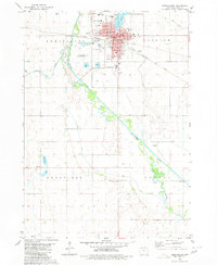
1980 · Emmetsburg
USGS Topo · 1:24,000