1972 Map of Ayrshire
USGS Topo · Published 1974About this map
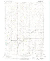
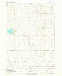
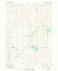
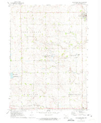
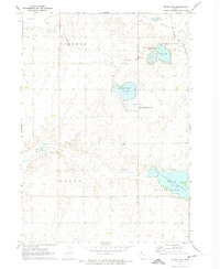
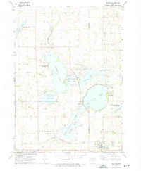
The settlement of Ayrshire serves as the central hub of this agricultural landscape in Palo Alto County during the early 1970s. Located at the intersection of several township boundaries including Silver Lake, Great Oak, and Highland, the town is surrounded by a network of drainage ditches and slow-moving waterways like Silver Creek and Pilot Creek. The map documents a period when regional rail connectivity was still highly visible, featuring the tracks of the Chicago and North Western and the Chicago Milwaukee St Paul and Pacific. On the western edge, the Silver Lake State Game Management Area encompasses Silver Lake, providing a preserved natural contrast to the grid-patterned fields. Local landmarks such as Calvary Ch and the Silver Lake Cem offer specific points of interest for genealogists tracing family roots in this corner of Iowa.
Find a feature on this map
13 named features on this map. Tap any name to fly to it.
Don’t see what you’re looking for? This feature index may not catch every label — zoom into the map to look around manually.
Map Details
Editions of this 1972 Ayrshire Map
This is the sole edition of this map. No revisions or reprints were ever made.
Other maps of this area

1954 · Fairmont
USGS Topo · 1:250,000

1954 · Fort Dodge
USGS Topo · 1:250,000

1957 · Fort Dodge
USGS Topo · 1:250,000

1958 · Fort Dodge
USGS Topo · 1:250,000

1958 · Fairmont
USGS Topo · 1:250,000
1971 · Rush Lake East
USGS Topo · 1:24,000
1971 · Rush Lake West
USGS Topo · 1:24,000
1972 · Graettinger West
USGS Topo · 1:24,000
1972 · Silver Lake
USGS Topo · 1:24,000
1972 · Ruthven
USGS Topo · 1:24,000