1970s Maps of Floyd County, Iowa
Explore 13 historic maps of Floyd County from the 1970s. These maps offer a rare glimpse into what life looked like during the 1970s — showing old roads, neighborhoods, homes, and landmarks that have changed or disappeared over time.
Whether you're researching your family's past, planning a metal detecting trip, or studying how Floyd County's landscape evolved across the 1970s, these high-resolution maps are a powerful tool for exploring the history of this region.
- Focus on a specific era: All maps on this page are from the 1970s, giving you a focused view of this time period.
- See what’s changed: Compare century-old streets, trails, and buildings to today's modern landscape using overlays and satellite layers.
- Research with precision: Use these maps for genealogy, historical research, land use analysis, or educational projects.
- View, download, or print: Maps are fully viewable online in high resolution, and can be downloaded or printed for your own records.
Start exploring Floyd County's history through authentic maps from the 1970s. This is your window into the past.
Floyd County, IA maps
(13)- 1971 Map of Rockford, 1973 Print
 1971 Rockford1973 Print · USGSThe Floyd County countryside comes into focus in the early 1970s, centered on the river junction at Rockford. Genealogists and historians can trace the rail lines of the Chicago Rock Island and Pacific or locate local landmarks like Riverside Cem and the Claypit.
 - 1971 Map of Orchard, 1973 Print
 1971 Orchard1973 Print · USGSThe Cedar River valley in North Iowa is captured here in the early 1970s, showing a landscape defined by riverside conservation and small-town rail commerce. Genealogists and local historians can locate the Illinois Central tracks near Orchard or trace family sites at Tucker Cem and St Johns Ch.
 - 1971 Map of Rudd, 1973 Print
 1971 Rudd1973 Print · USGSThe rail-and-river corridor between Nora Springs and Rudd is documented here during the early 1970s. Researchers can locate local landmarks like Eden Ch, Evergreen Cem, and industrial sites such as the Quarry along the Rock Creek valley.
 - 1971 Map of Charles City, 1973 Print
 1971 Charles City1973 Print · USGSCharles City and the surrounding Floyd County countryside are captured here in the early seventies, centered on the winding Cedar River. Genealogists and local historians can locate St Mary's Church, find family plots in Oakwood Cemetery, and trace the path of the Illinois Central railroad.
 - 1971 Map of Nashua NW, 1973 Print
 1971 Nashua NW1973 Print · USGSThe rural borderlands of Floyd and Butler counties come into focus during the early 1970s, showing a landscape of family farms and creek valleys. Researchers can locate community anchors like Powersville and St Johns Ch, or trace the winding course of Flood Creek.
 - 1971 Map of Bassett, 1973 Print
 1971 Bassett1973 Print · USGSChickasaw and Floyd Counties are documented here in the early 1970s, showing the rural landscape as the river and rail lines shaped local industry. Genealogists and historians can locate the Cedar View Cem, the village of Bassett, and the grounds of Bunns Woods County Park.
 - 1971 Map of Colwell, 1973 Print
 1971 Colwell1973 Print · USGSUpper Iowa farm country and the meeting of four counties are captured here in the early seventies as the rail era left its mark on the land. Genealogists and historians can trace the Old Grade Railroad, find St Cecilia Ch, and locate Beckwith Cem.
 - 1971 Map of Floyd, 1973 Print
 1971 Floyd1973 Print · USGSThe Little Cedar River valley in the early seventies shows a transition between traditional Iowa farmsteads and modern infrastructure. You can trace the path of the Illinois Central and an Old Railroad Grade past Floyd and Howardville Cem.
 - 1971 Map of Nashua, 1973 Print
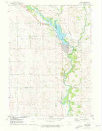 1971 Nashua1973 Print · USGSNashua and the Cedar River valleys are captured here in the early seventies, showing a landscape of small-town industry and riverfront recreation. Genealogists can locate Saint Michaels Cem and the famous Little Brown Church in the Vale, while researchers can trace the Illinois Central rail line.
 - 1971 Map of Roseville, 1973 Print
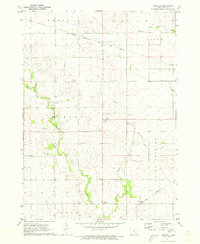 1971 Roseville1973 Print · USGSRoseville and the surrounding Floyd County townships are shown here in the early seventies during a period of established rail transit and rural growth. Genealogists and local historians can locate St Charles Cem, trace the Iowa Terminal railroad, and find the settlement of Oakwood.
 - 1972 Map of Dougherty, 1975 Print
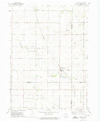 1972 Dougherty1975 Print · USGSNorth Iowa farm country at the start of the 1970s is defined by its rail connections and quiet township lines. Genealogists can locate family landmarks such as St Patricks Ch and West Fork Cem along the Chicago and North Western rail corridor.
 - 1972 Map of Aureola, 1975 Print
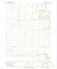 1972 Aureola1975 Print · USGSNortheast Iowa’s river valleys and rail lines define this 1970s landscape near the Floyd and Butler county line. Local historians can trace the Chicago Rock Island and Pacific line and find rural landmarks like Camp Winnebago and Aureola.
 - 1972 Map of Greene, 1975 Print
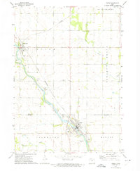 1972 Greene1975 Print · USGSThe Shell Rock River valley in the early 1970s shows a landscape of steady rail commerce and established riverside towns. Researchers can locate local landmarks like Hillside Cem, trace the Chicago Rock Island and Pacific line, and see the layout of Marble Rock.
End of results
Showing maps 1-13 of 13
Top cities of Floyd County
- Charles City historical maps
- Nora Springs historical maps
- Rockford historical maps
- Rudd historical maps
- Floyd historical maps
- Marble Rock historical maps
See more
Frequently asked questions
- What are the different types of historical maps available for Floyd County?
- What is the oldest map of Floyd County?
- Where can I purchase historical maps of Floyd County for my home or office?
- Where can I download high-res historical maps of Floyd County?
- Are there historical topographic maps available for Floyd County?
- Is there historical aerial imagery available for Floyd County?
- Where are historical maps of Floyd County sourced from?