Old Maps of Forest City, Iowa for Genealogy
Trace your family roots with 28 historic maps of Forest City. These high-res maps reveal old neighborhoods, homesites, landmarks, and streets — helping you uncover where your ancestors lived and how the area evolved over time.
- Explore historic neighborhoods: Identify where your relatives may have lived in the 1800s or 1900s.
- Compare maps over time: Trace the changes in streets, buildings, and landmarks for multi-generational research.
- Perfect for genealogy & ancestry research: Used by family historians and researchers to map out lineage and migration.
These maps are an incredible resource for exploring your personal connection to Forest City's past.
Forest City, IA maps
(28)- 1954 Map of Mason City, 1967 Print
 1954 Mason City1967 Print · USGSSouthern Minnesota and northern Iowa are shown here at the height of the mid-century rail era, centered on the regional hubs of Mason City and Rochester. Researchers can trace the vanished paths of the Chicago Great Western and find local landmarks like Pilot Knob and Bear Lake.2 unique versions available
 - 1957 Map of Mason City
 1957 Mason City1957 Print · USGSThe Minnesota-Iowa border region comes alive in this mid-century survey, from the industrial plants of Mason City to the medical hub of Rochester. Researchers can trace the rail-and-river economy through the Chicago Great Western Railway and the Shell Rock River.
 - 1958 Map of Mason City
 1958 Mason City1958 Print · USGSSouthern Minnesota and northern Iowa are shown during the mid-fifties when railroads still anchored the regional economy. Genealogists and historians can trace the intricate rail networks of the Illinois Central and find local landmarks in Mason City, Albert Lea, and Austin.
 - 1972 Map of Forest City, 1975 Print
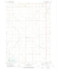
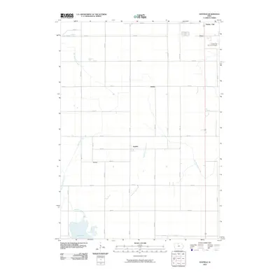
 1972 Forest City1975 Print · USGSWinnebago County in the early seventies shows a landscape shaped by the Winnebago River and the intersection of two major rail lines. Researchers can trace rural genealogy and local industry through features like West Prairie Ch, Neils Spur, and Oakland Cem.
 - 1972 Map of Hayfield, 1975 Print
 1972 Hayfield1975 Print · USGSHancock County in the early seventies shows a landscape where rail lines and river branches converge amidst a network of agricultural drainage. Genealogists and local historians can trace the Chicago Rock Island and Pacific through Hayfield or locate family plots at Madison Cem.
 - 1972 Map of Pilot Knob, 1975 Print
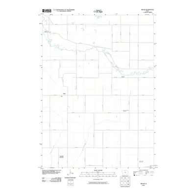
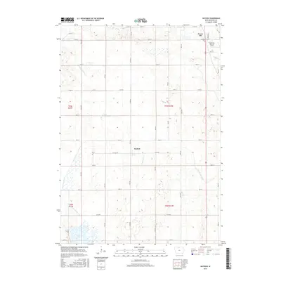
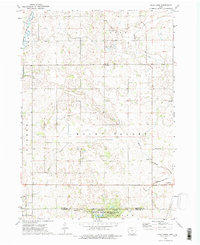 1972 Pilot Knob1975 Print · USGSNorthern Iowa's glacial topography and rural townships are captured here in the early seventies, spanning the border of Winnebago and Hancock counties. Genealogists and researchers can locate family-named sites such as Forest Home Cem, the Winnebago Ch, and the landmark Pilot Knob summit.2 unique versions available
 - 1972 Map of Miller, 1975 Print
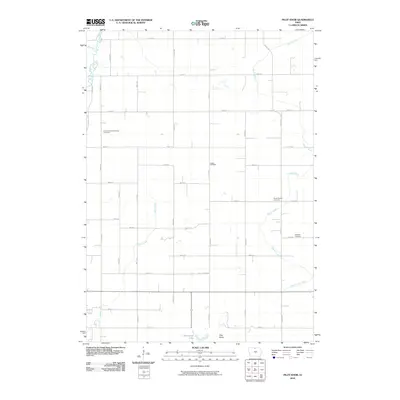
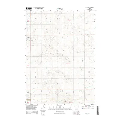
 1972 Miller1975 Print · USGSHancock County farmland and river valleys are captured here during the early 1970s, showcasing the region's agricultural and transit layout. Researchers can trace rural lineages through sites like St Johns Ch, the settlement of Miller, and the Ellington Cem.
 - 1985 Map of Mason City
 1985 Mason City1985 Print · USGSThe Northern Iowa and Southern Minnesota borderlands are captured here in the mid-eighties, showing a region defined by agricultural drainage and rail heritage. Genealogists and historians can trace the grid of rural townships and find local landmarks like Pilot Knob State Park, Nora Springs, and Clear Lake State Park.2 unique versions available
 - 2010 Map of Miller, 2010 Print
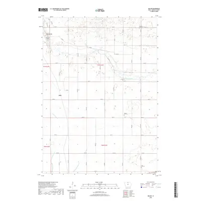
 2010 Miller2010 Print · USGSCovers Forest City, including Miller, Hancock County, and other nearby areas
 - 2010 Map of Pilot Knob, 2010 Print
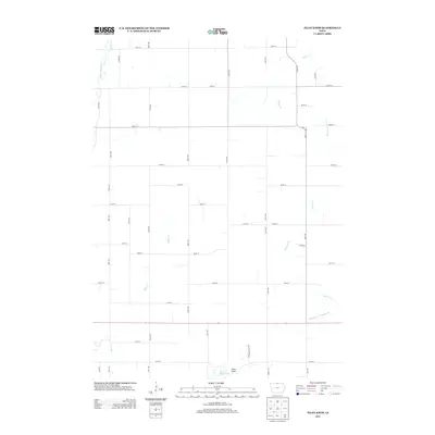
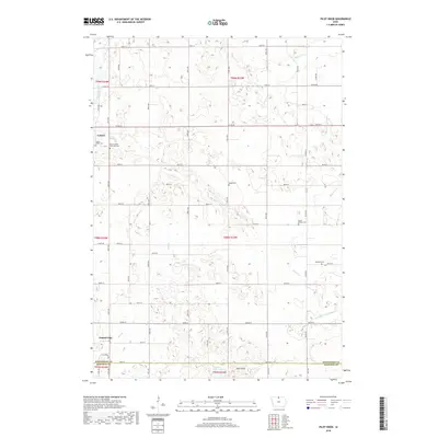
 2010 Pilot Knob2010 Print · USGSCovers Forest City, including Leland, Winnebago County, and other nearby areas
 - 2010 Map of Hayfield, 2010 Print
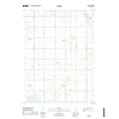
 2010 Hayfield2010 Print · USGSCovers Forest City, including Hayfield, Hawley, and other nearby areas
 - 2010 Map of Forest City, 2010 Print
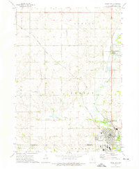
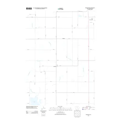
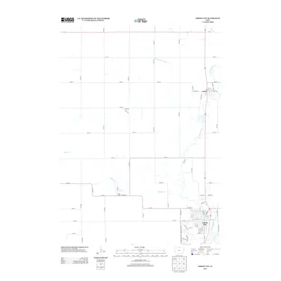
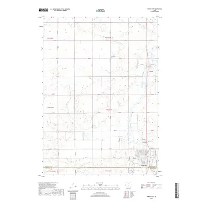
 2010 Forest City2010 Print · USGSCovers Forest City, including Leland, Winnebago County, and other nearby areas
 - 2013 Map of Hayfield, 2013 Print
 2013 Hayfield2013 Print · USGSCovers Forest City, including Hayfield, Hawley, and other nearby areas
 - 2013 Map of Forest City, 2013 Print
 2013 Forest City2013 Print · USGSCovers Forest City, including Leland, Winnebago County, and other nearby areas
 - 2013 Map of Pilot Knob, 2013 Print
 2013 Pilot Knob2013 Print · USGSCovers Forest City, including Leland, Winnebago County, and other nearby areas
 - 2013 Map of Miller, 2013 Print
 2013 Miller2013 Print · USGSCovers Forest City, including Miller, Hancock County, and other nearby areas
 - 2015 Map of Hayfield, 2015 Print
 2015 Hayfield2015 Print · USGSCovers Forest City, including Hayfield, Hawley, and other nearby areas
 - 2015 Map of Forest City, 2015 Print
 2015 Forest City2015 Print · USGSCovers Forest City, including Leland, Winnebago County, and other nearby areas
 - 2015 Map of Pilot Knob, 2015 Print
 2015 Pilot Knob2015 Print · USGSCovers Forest City, including Leland, Winnebago County, and other nearby areas
 - 2015 Map of Miller, 2015 Print
 2015 Miller2015 Print · USGSCovers Forest City, including Miller, Hancock County, and other nearby areas
 - 2018 Map of Miller, 2018 Print
 2018 Miller2018 Print · USGSCovers Forest City, including Miller, Hancock County, and other nearby areas
 - 2018 Map of Forest City, 2018 Print
 2018 Forest City2018 Print · USGSCovers Forest City, including Leland, Winnebago County, and other nearby areas
 - 2018 Map of Hayfield, 2018 Print
 2018 Hayfield2018 Print · USGSCovers Forest City, including Hayfield, Hawley, and other nearby areas
 - 2018 Map of Pilot Knob, 2018 Print
 2018 Pilot Knob2018 Print · USGSCovers Forest City, including Leland, Winnebago County, and other nearby areas
 - 2022 Map of Hayfield, 2022 Print
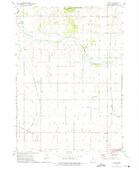
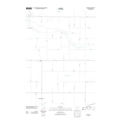
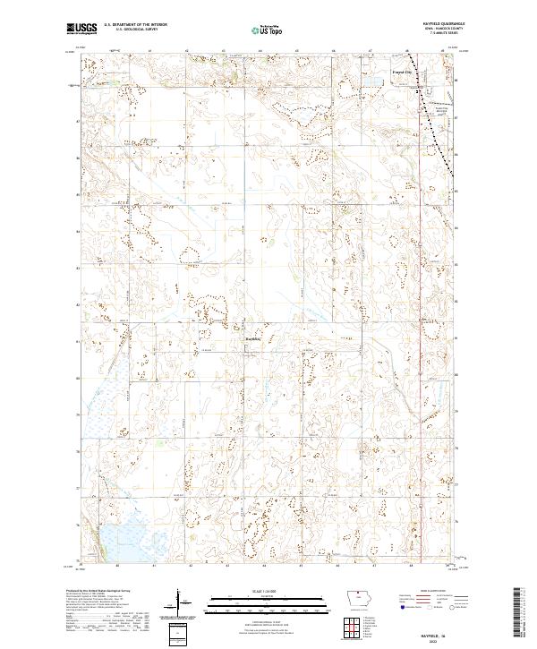 2022 Hayfield2022 Print · USGSHancock County agricultural life and river hydrology are on full display in this 2022 survey of the northern Iowa plains. Researchers can locate Madison Cem, trace the headwaters of the E Br Iowa River, and study the wetlands near Eagle Lake.
Showing maps 1-25 of 28
Top cities near Forest City
- Clear Lake historical maps
- Garner historical maps
- Lake Mills historical maps
- Britt historical maps
- Ventura historical maps
- Thompson historical maps
See more
Frequently asked questions
- What are the different types of historical maps available for Forest City?
- What is the oldest map of Forest City?
- Where can I purchase historical maps of Forest City for my home or office?
- Where can I download high-res historical maps of Forest City?
- Are there historical topographic maps available for Forest City?
- Is there historical aerial imagery available for Forest City?
- Where are historical maps of Forest City sourced from?