Old Maps of Riverton, Iowa for Hiking & Exploration
Hike through history with 13 historic maps of Riverton. Explore old trails, ghost towns, and forgotten backroads — perfect for outdoor adventurers and local explorers.
- Rediscover forgotten places: Map out old mining camps, roads, and footpaths that no longer exist on modern maps.
- Layer with modern tools: Combine with LiDAR or satellite views to plan hikes through historical terrain.
- Made for exploration: Popular among hikers, overlanders, and local history lovers.
Use these maps to find adventure and explore the hidden past of Riverton.
Riverton, IA maps
(13)- 1939 Map of Hamburg
 1939 Hamburg1939 Print · USGSThe Missouri River lowlands at the triple-state border are captured here just before the mid-century. Genealogists can trace family footprints across a dense network of rural schoolhouses like Miller Sch and Star Sch, or locate the Stoner Cem and Lone Chapel.2 unique versions available
 - 1941 Map of Hamburg
 1941 Hamburg1941 Print · USGSThe Missouri-Iowa borderlands come alive in this pre-war survey of the river's winding oxbows and rural townships. Genealogists can trace family roots through a dense network of country schools and churches, from Mayflower Sch to the Stoner Cem.2 unique versions available
 - 1955 Map of Nebraska City, 1967 Print
 1955 Nebraska City1967 Print · USGSThe four-state region surrounding the Missouri River valley appears here in the mid-1950s, a landscape of rail-dependent market towns and rural school districts. Genealogists can locate family landmarks like the Rock Bluff School, St Oswald Church, and the Clarinda State Hospital.3 unique versions available
 - 1957 Map of Nebraska City
 1957 Nebraska City1957 Print · USGSThe four-state junction of Nebraska, Iowa, Missouri, and Kansas comes alive in this mid-fifties survey of the Missouri River valley. Genealogists and historians can trace the rail-and-road networks connecting Nebraska City, Maryville, and the Squaw Creek National Wildlife Refuge.
 - 1958 Map of Nebraska City
 1958 Nebraska City1958 Print · USGSThe Missouri River Valley and its fertile four-state borderlands are captured here during the mid-century expansion of the regional highway and rail networks. Genealogists can trace family roots through numerous rural landmarks like Moulton School, Shady Grove Church, and the Clarinda State Hospital.
 - 1981 Map of Riverton
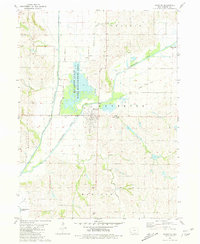 1981 Riverton1981 Print · USGSFremont County settlement and river management are captured here in the early 1980s. Genealogists and historians can locate family burial sites like Redd Cem and Utterback Cem or trace the Old Railroad Grade through Riverton.
 - 1985 Map of Nebraska City
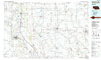 1985 Nebraska City1985 Print · USGSThe Missouri River borderlands of Nebraska, Iowa, and Missouri come into focus in the mid-1980s, showcasing a landscape of river navigation and rail-fed agriculture. Researchers can trace the heritage of Nebraska City, follow the Burlington Northern tracks, or explore river landmarks like Jones Point and McKissick Island.
 - 1993 Map of Nebraska City
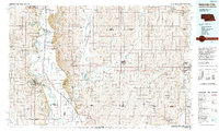 1993 Nebraska City1993 Print · USGSThe Missouri River valley and the rolling farmland of southwest Iowa are captured here in the early nineties, showing a landscape defined by water and rail. Researchers can trace the Burlington Northern lines or explore local landmarks like Arbor Lodge State Park and College Springs.
 - 2010 Map of Riverton, 2010 Print
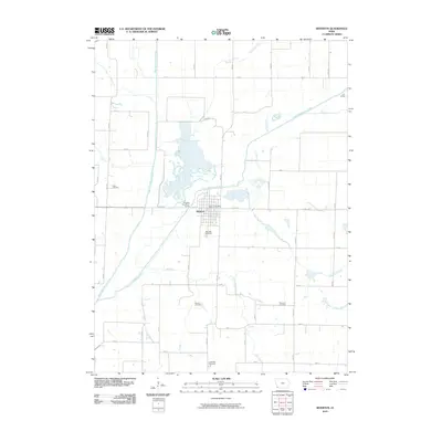 2010 Riverton2010 Print · USGSRiverton sits at the historic fork of the West and East Nishnabotna Rivers in this 2010 survey. Genealogists can trace family roots through several local burial grounds, including Redd Cemetery, Stauch Cemetery, and the Riverton Cemetery south of town.
 - 2013 Map of Riverton, 2013 Print
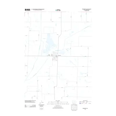 2013 Riverton2013 Print · USGSRiverton sits at the strategic meeting of the East and West Nishnabotna Rivers in southwestern Iowa during the early 2010s. Modern researchers can trace the town's street grid from Apple Ave to the Riverton Boat Ramp Access and explore rural drainage along Mill Cr.
 - 2015 Map of Riverton, 2015 Print
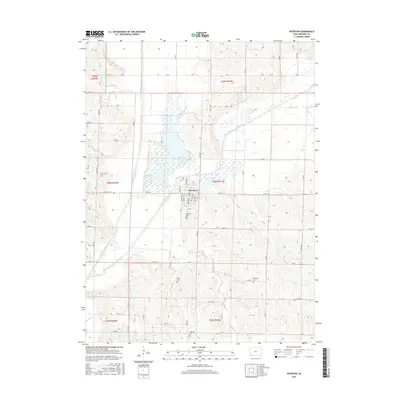 2015 Riverton2015 Print · USGSFremont County sits at the meeting of two major waterways in the mid-2010s, where the agricultural grid meets the winding river valleys. Family historians can trace local roots through several burial grounds like Utterback Cem, Redd Cem, and Riverton Cem near the banks of the East Nishnabotna River.
 - 2018 Map of Riverton, 2018 Print
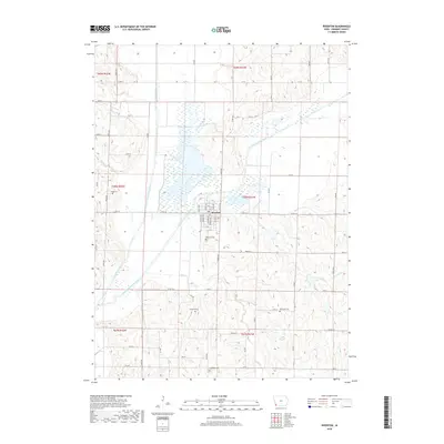 2018 Riverton2018 Print · USGSSouthwestern Iowa river valleys are captured here in the late 2010s at the junction of the East and West Nishnabotna Rivers. Researchers can locate several local burial sites including Riverton Cem, Utterback Cem, and Redd Cem near the town of Riverton.
 - 2022 Map of Riverton, 2022 Print
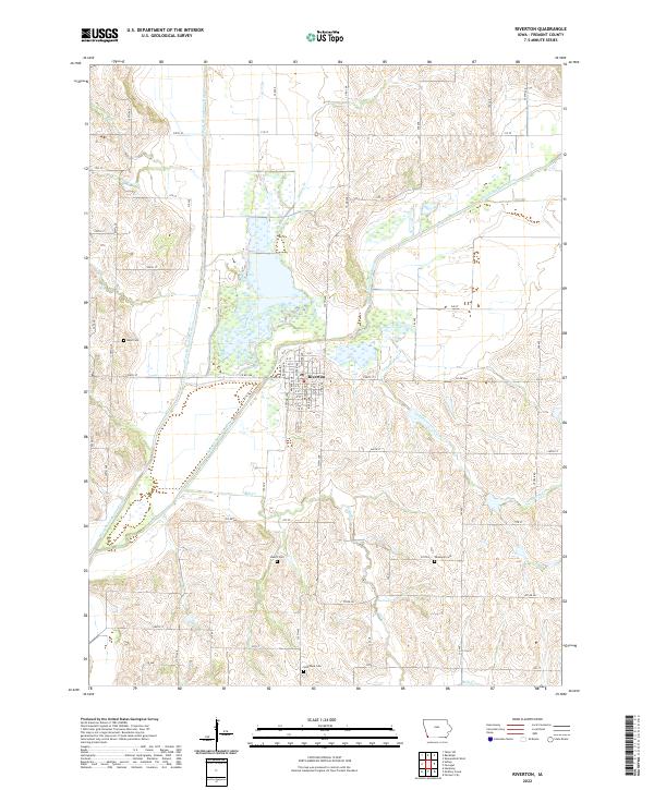 2022 Riverton2022 Print · USGSThe river confluence at Riverton is documented here in the early twenty-first century, showing the town's position between the two forks. Genealogists can locate family burial sites like Wesleyan Cem and Stauch Cem among the riverside sections.
End of results
Showing maps 1-13 of 13
Top cities near Riverton
- Shenandoah historical maps
- Sidney historical maps
- Tabor historical maps
- Hamburg historical maps
- Peru historical maps
- Farragut historical maps
See more
Frequently asked questions
- What are the different types of historical maps available for Riverton?
- What is the oldest map of Riverton?
- Where can I purchase historical maps of Riverton for my home or office?
- Where can I download high-res historical maps of Riverton?
- Are there historical topographic maps available for Riverton?
- Is there historical aerial imagery available for Riverton?
- Where are historical maps of Riverton sourced from?