Old Maps of Cedar Township, Iowa for Hiking & Exploration
Hike through history with 29 historic maps of Cedar Township. Explore old trails, ghost towns, and forgotten backroads — perfect for outdoor adventurers and local explorers.
- Rediscover forgotten places: Map out old mining camps, roads, and footpaths that no longer exist on modern maps.
- Layer with modern tools: Combine with LiDAR or satellite views to plan hikes through historical terrain.
- Made for exploration: Popular among hikers, overlanders, and local history lovers.
Use these maps to find adventure and explore the hidden past of Cedar Township.
Cedar Township, IA maps
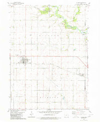
(29)- 1954 Map of Fort Dodge, 1968 Print
 1954 Fort Dodge1968 Print · USGSNorthwest Iowa is shown here during a period of steady industrial and rail activity in the mid-fifties. Researchers can trace the extensive rail lines connecting Fort Dodge to mining and manufacturing sites like Gypsum and Industry Station.3 unique versions available
 - 1957 Map of Fort Dodge
 1957 Fort Dodge1957 Print · USGSWest-central Iowa thrived as a network of rail-linked agricultural hubs and river towns during the mid-fifties. Researchers can trace the development of the Des Moines River valley and locate historic landmarks in Fort Dodge, Storm Lake, and Lehigh.
 - 1958 Map of Fort Dodge
 1958 Fort Dodge1958 Print · USGSWestern Iowa in the mid-1950s reveals a productive landscape of river-valley industry and prairie agricultural hubs. Researchers can trace the development of the Des Moines River corridor through Fort Dodge and locate vanished local landmarks near Coalville or Storm Lake.
 - 1980 Map of Glidden
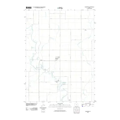
 1980 Glidden1980 Print · USGSAgricultural Carroll County comes to life in this late twentieth-century survey of the heartland's rail and river systems. Genealogists and local historians can trace the Chicago and North Western line through Glidden and locate family markers at Dickson Cem.
 - 1980 Map of Wightman
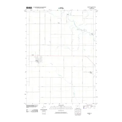
 1980 Wightman1980 Print · USGSCalhoun and Greene counties appear at a crossroads in the early 1980s where the Iowa rail network meets the agricultural heartland. Researchers can trace the village of Wightman, follow the Chicago and North Western tracks, and locate St Patricks Ch.
 - 1980 Map of Scranton
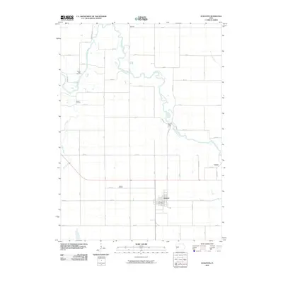
 1980 Scranton1980 Print · USGSGreene County agriculture and the river valley define this landscape in the early eighties. Genealogists and historians can trace the Chicago and North Western rail line through Scranton, or locate family sites near Dillavou Cem and Friends Ch.
 - 1980 Map of Lanesboro
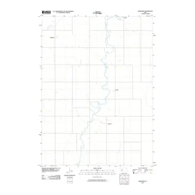
 1980 Lanesboro1980 Print · USGSLanesboro and the surrounding Carroll County farmland are captured here in the late 1970s as the rail and river networks shaped local life. Genealogists and historians can locate Lanesboro Cem, trace the Chicago and North Western rail line, or find local landmarks like Vador Bridge.
 - 1985 Map of Carroll
 1985 Carroll1985 Print · USGSWest-Central Iowa in the mid-eighties shows a landscape of highly engineered farmland and river-valley conservation. Researchers can trace the drainage patterns of Purgatory Creek or locate local landmarks like Dolliver Memorial State Park and the rail-junction town of Gowrie.
 - 1993 Map of Carroll
 1993 Carroll1993 Print · USGSCentral Iowa's river valleys and rail corridors are captured here in the early nineties, showing a landscape shaped by the Raccoon River and Des Moines River. Genealogists can trace family connections to the many county seats, from Sac City to Jefferson, and locate rural landmarks like Pilot Mound or North Twin Lake.
 - 2010 Map of Scranton, 2010 Print
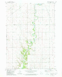
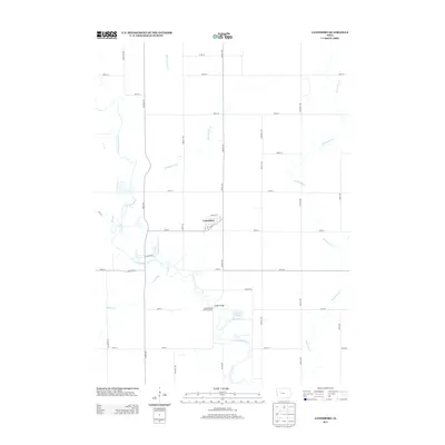
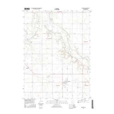
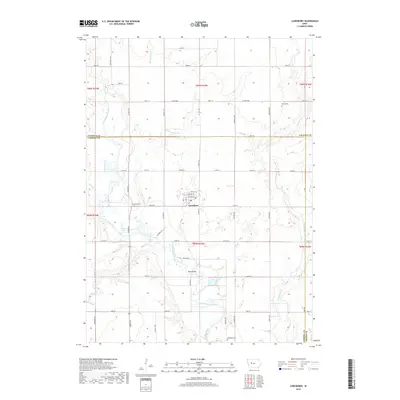
 2010 Scranton2010 Print · USGSCovers Cedar Township, including Scranton, Ralston, and other nearby areas
 - 2010 Map of Lanesboro, 2010 Print
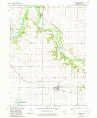
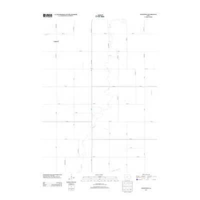
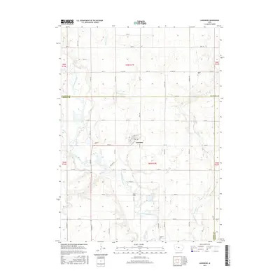
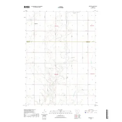
 2010 Lanesboro2010 Print · USGSCovers Cedar Township, including Lanesboro, Carroll County, and other nearby areas
 - 2010 Map of Glidden, 2010 Print
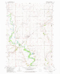
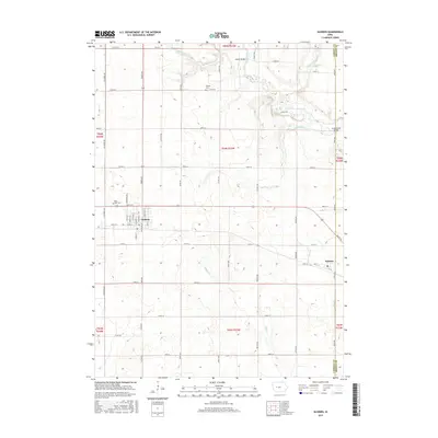
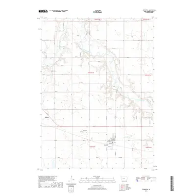
 2010 Glidden2010 Print · USGSCovers Cedar Township, including Glidden, Ralston, and other nearby areas
 - 2010 Map of Wightman, 2010 Print
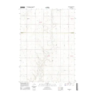
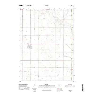
 2010 Wightman2010 Print · USGSCovers Cedar Township, including Highland Township, Wightman, and other nearby areas
 - 2013 Map of Lanesboro, 2013 Print
 2013 Lanesboro2013 Print · USGSCovers Cedar Township, including Lanesboro, Carroll County, and other nearby areas
 - 2013 Map of Glidden, 2013 Print
 2013 Glidden2013 Print · USGSCovers Cedar Township, including Glidden, Ralston, and other nearby areas
 - 2013 Map of Wightman, 2013 Print
 2013 Wightman2013 Print · USGSCovers Cedar Township, including Highland Township, Wightman, and other nearby areas
 - 2013 Map of Scranton, 2013 Print
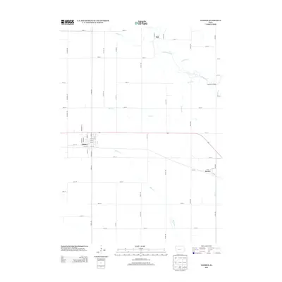
 2013 Scranton2013 Print · USGSCovers Cedar Township, including Scranton, Ralston, and other nearby areas
 - 2015 Map of Scranton, 2015 Print
 2015 Scranton2015 Print · USGSCovers Cedar Township, including Scranton, Ralston, and other nearby areas
 - 2015 Map of Glidden, 2015 Print
 2015 Glidden2015 Print · USGSCovers Cedar Township, including Glidden, Ralston, and other nearby areas
 - 2015 Map of Lanesboro, 2015 Print
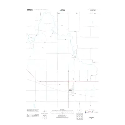
 2015 Lanesboro2015 Print · USGSCovers Cedar Township, including Lanesboro, Carroll County, and other nearby areas
 - 2015 Map of Wightman, 2015 Print
 2015 Wightman2015 Print · USGSCovers Cedar Township, including Highland Township, Wightman, and other nearby areas
 - 2018 Map of Lanesboro, 2018 Print
 2018 Lanesboro2018 Print · USGSCovers Cedar Township, including Lanesboro, Carroll County, and other nearby areas
 - 2018 Map of Scranton, 2018 Print
 2018 Scranton2018 Print · USGSCovers Cedar Township, including Scranton, Ralston, and other nearby areas
 - 2018 Map of Glidden, 2018 Print
 2018 Glidden2018 Print · USGSCovers Cedar Township, including Glidden, Ralston, and other nearby areas
 - 2018 Map of Wightman, 2018 Print
 2018 Wightman2018 Print · USGSCovers Cedar Township, including Highland Township, Wightman, and other nearby areas
Showing maps 1-25 of 29
Top cities near Cedar Township
- Jefferson historical maps
- Rockwell City historical maps
- Lake City historical maps
- Glidden historical maps
- Scranton historical maps
- Farnhamville historical maps
See more
Frequently asked questions
- What are the different types of historical maps available for Cedar Township?
- What is the oldest map of Cedar Township?
- Where can I purchase historical maps of Cedar Township for my home or office?
- Where can I download high-res historical maps of Cedar Township?
- Are there historical topographic maps available for Cedar Township?
- Is there historical aerial imagery available for Cedar Township?
- Where are historical maps of Cedar Township sourced from?