Old Maps of Cass Township, Iowa for Academic Research
Study the evolution of Cass Township with 29 high-resolution historic maps. Whether you're teaching, researching, or modeling changes in land use, these maps provide essential visual documentation of urban, environmental, and geographic change.
- Analyze long-term change: Track patterns in development, transportation, and natural features.
- Ideal for environmental or urban studies: Support academic projects with primary historical map data.
- Use in the classroom or lab: Educators and researchers rely on these maps to bring historical context to life.
These maps are a powerful tool for teaching, research, and visualizing how Cass Township has changed over the decades.
Cass Township, IA maps
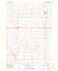
(29)- 1954 Map of Waterloo, 1968 Print
 1954 Waterloo1968 Print · USGSCentral Iowa at the height of its mid-century agricultural and rail boom features the growing hubs of Waterloo and Cedar Falls. Genealogists and researchers can trace the rail corridors of the Chicago Great Western and find local landmarks like Iowa State College and Brushy Ridge.4 unique versions available
 - 1955 Map of Waterloo
 1955 Waterloo1955 Print · USGSCentral Iowa in the mid-fifties presents a dense landscape of rail-connected farming towns and growing river cities. Researchers can trace ancestral roots and old transport routes through Waterloo, Marshalltown, and Ames, while locating rural Cemeteries and local Quarries.2 unique versions available
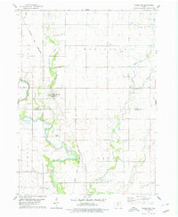
 - 1978 Map of Blairsburg, 1979 Print
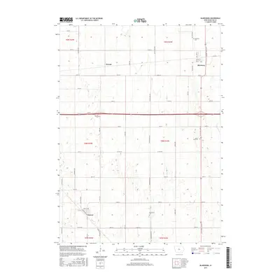
 1978 Blairsburg1979 Print · USGSHamilton County agriculture and rail systems are clearly defined in the late seventies. Family historians can locate specific landmarks like Blairsburg Cem, First United Ch, and the rail junction at Kamrar as they appeared decades ago.
 - 1978 Map of Woolstock, 1979 Print
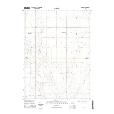
 1978 Woolstock1979 Print · USGSWoolstock and the surrounding farm country of Wright and Hamilton Counties are captured here in the late seventies. Researchers can trace the Chicago and North Western rail line and locate rural landmarks like French Ch Cem and the Flowing Well.
 - 1978 Map of Webster City, 1979 Print
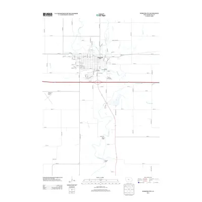
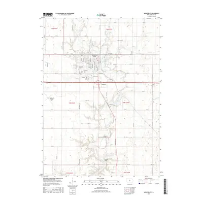
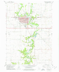 1978 Webster City1979 Print · USGSWebster City is captured here during the late seventies, showing the vital intersection of the Boone River and two major rail lines. Genealogists and local historians can locate family plots in Graceland Cem or trace neighborhood growth near Lawn Hill Sch and the Fairground.
 - 1978 Map of Clarion SW, 1979 Print
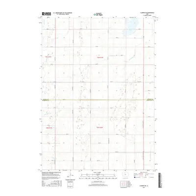
 1978 Clarion SW1979 Print · USGSWright and Hamilton Counties in the late seventies showcase a landscape of managed waterways and glacial lakes. Genealogists and local historians can trace rural landmarks like the United Ch and Townhall, or locate the Boat Ramp at Big Wall Lake.
 - 1984 Map of Iowa Falls, 1985 Print
 1984 Iowa Falls1985 Print · USGSNorth-central Iowa is documented here during the mid-eighties, showing a landscape of traditional rail towns and extensive wildlife management areas. Researchers can trace family history through settlements like Belmond, Dows, and Ackley, or locate landmarks like Beeds Lake State Park.2 unique versions available
 - 1985 Map of Ames
 1985 Ames1985 Print · USGSCentral Iowa's prairie landscape in the mid-eighties shows a well-established network of rail towns and conservation areas. Genealogists and historians can trace the paths of the Lincoln Highway and the Chicago and North Western line connecting Ames, Boone, and Webster City.
 - 1993 Map of Ames
 1993 Ames1993 Print · USGSCentral Iowa in the early nineties shows a landscape of river-fed parklands and growing academic centers. Genealogists and researchers can trace local church sites like Sts Peter and Paul Ch or navigate the corridors of the Chicago and North Western through towns like Hubbard and Stanhope.
 - 2010 Map of Woolstock, 2010 Print
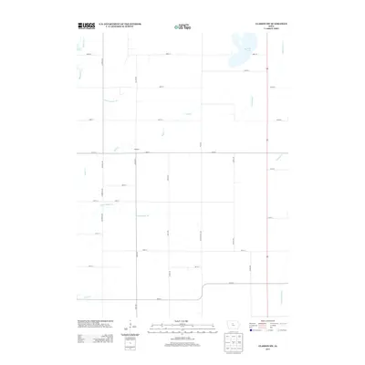
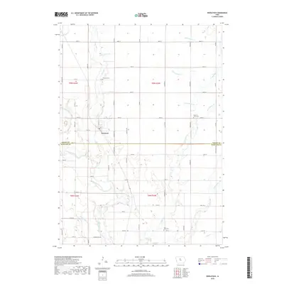
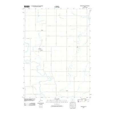 2010 Woolstock2010 Print · USGSCovers Cass Township, including Woolstock, Fremont Township, and other nearby areas
 - 2010 Map of Clarion SW, 2010 Print
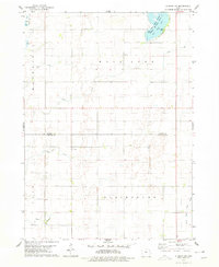
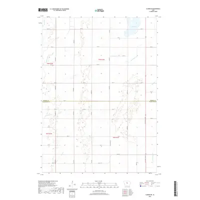
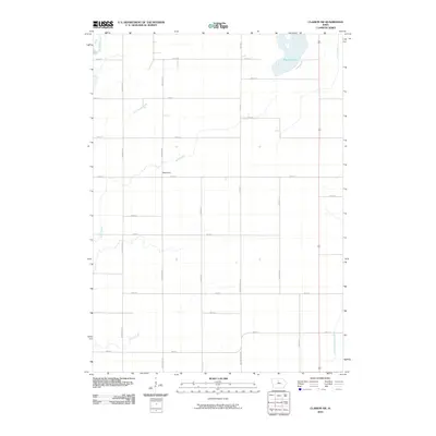 2010 Clarion SW2010 Print · USGSCovers Cass Township, including Blairsburg Township, Hamilton County, and other nearby areas
 - 2010 Map of Blairsburg, 2010 Print
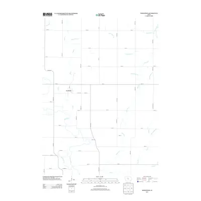
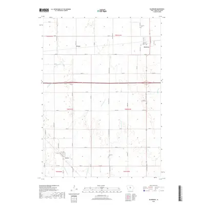
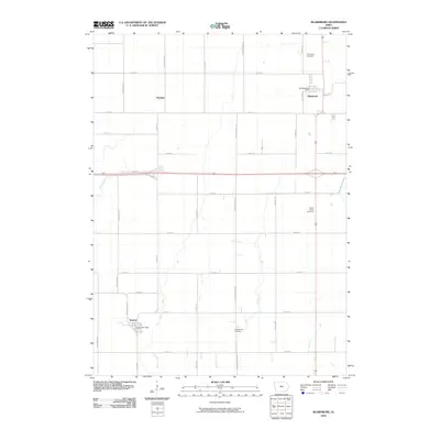 2010 Blairsburg2010 Print · USGSCovers Cass Township, including Kamrar, Blairsburg, and other nearby areas
 - 2010 Map of Webster City, 2010 Print
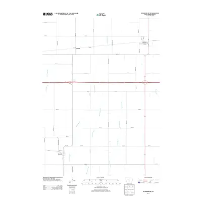
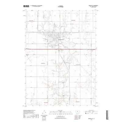
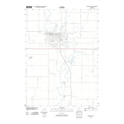 2010 Webster City2010 Print · USGSCovers Cass Township, including Webster City, Webster Township, and other nearby areas
 - 2013 Map of Clarion SW, 2013 Print
 2013 Clarion SW2013 Print · USGSCovers Cass Township, including Blairsburg Township, Hamilton County, and other nearby areas
 - 2013 Map of Blairsburg, 2013 Print
 2013 Blairsburg2013 Print · USGSCovers Cass Township, including Kamrar, Blairsburg, and other nearby areas
 - 2013 Map of Webster City, 2013 Print
 2013 Webster City2013 Print · USGSCovers Cass Township, including Webster City, Webster Township, and other nearby areas
 - 2013 Map of Woolstock, 2013 Print
 2013 Woolstock2013 Print · USGSCovers Cass Township, including Woolstock, Fremont Township, and other nearby areas
 - 2015 Map of Clarion SW, 2015 Print
 2015 Clarion SW2015 Print · USGSCovers Cass Township, including Blairsburg Township, Hamilton County, and other nearby areas
 - 2015 Map of Woolstock, 2015 Print
 2015 Woolstock2015 Print · USGSCovers Cass Township, including Woolstock, Fremont Township, and other nearby areas
 - 2015 Map of Webster City, 2015 Print
 2015 Webster City2015 Print · USGSCovers Cass Township, including Webster City, Webster Township, and other nearby areas
 - 2015 Map of Blairsburg, 2015 Print
 2015 Blairsburg2015 Print · USGSCovers Cass Township, including Kamrar, Blairsburg, and other nearby areas
 - 2018 Map of Woolstock, 2018 Print
 2018 Woolstock2018 Print · USGSCovers Cass Township, including Woolstock, Fremont Township, and other nearby areas
 - 2018 Map of Clarion SW, 2018 Print
 2018 Clarion SW2018 Print · USGSCovers Cass Township, including Blairsburg Township, Hamilton County, and other nearby areas
 - 2018 Map of Blairsburg, 2018 Print
 2018 Blairsburg2018 Print · USGSCovers Cass Township, including Kamrar, Blairsburg, and other nearby areas
 - 2018 Map of Webster City, 2018 Print
 2018 Webster City2018 Print · USGSCovers Cass Township, including Webster City, Webster Township, and other nearby areas
Showing maps 1-25 of 29
Top cities near Cass Township
- Webster City historical maps
- Eagle Grove historical maps
- Clarion historical maps
- Jewell Junction historical maps
- Jewell historical maps
- Goldfield historical maps
See more
Frequently asked questions
- What are the different types of historical maps available for Cass Township?
- What is the oldest map of Cass Township?
- Where can I purchase historical maps of Cass Township for my home or office?
- Where can I download high-res historical maps of Cass Township?
- Are there historical topographic maps available for Cass Township?
- Is there historical aerial imagery available for Cass Township?
- Where are historical maps of Cass Township sourced from?