Old Maps of Humboldt, Iowa for Hiking & Exploration
Hike through history with 11 historic maps of Humboldt. Explore old trails, ghost towns, and forgotten backroads — perfect for outdoor adventurers and local explorers.
- Rediscover forgotten places: Map out old mining camps, roads, and footpaths that no longer exist on modern maps.
- Layer with modern tools: Combine with LiDAR or satellite views to plan hikes through historical terrain.
- Made for exploration: Popular among hikers, overlanders, and local history lovers.
Use these maps to find adventure and explore the hidden past of Humboldt.
Humboldt, IA maps
(11)- 1923 Map of Fort Dodge
 1923 Fort Dodge1923 Print · USGSThe river valleys and rail corridors of North Central Iowa are detailed here in the years following the Great War. Genealogists and local historians can locate dozens of rural schoolhouses and the early footprints of Humboldt, Badger, and Fort Dodge.3 unique versions available
 - 1954 Map of Fort Dodge, 1968 Print
 1954 Fort Dodge1968 Print · USGSNorthwest Iowa is shown here during a period of steady industrial and rail activity in the mid-fifties. Researchers can trace the extensive rail lines connecting Fort Dodge to mining and manufacturing sites like Gypsum and Industry Station.3 unique versions available
 - 1957 Map of Fort Dodge
 1957 Fort Dodge1957 Print · USGSWest-central Iowa thrived as a network of rail-linked agricultural hubs and river towns during the mid-fifties. Researchers can trace the development of the Des Moines River valley and locate historic landmarks in Fort Dodge, Storm Lake, and Lehigh.
 - 1958 Map of Fort Dodge
 1958 Fort Dodge1958 Print · USGSWestern Iowa in the mid-1950s reveals a productive landscape of river-valley industry and prairie agricultural hubs. Researchers can trace the development of the Des Moines River corridor through Fort Dodge and locate vanished local landmarks near Coalville or Storm Lake.
 - 1979 Map of Humboldt
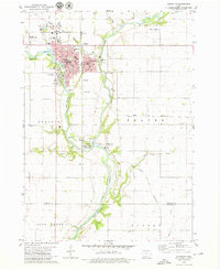 1979 Humboldt1979 Print · USGSHumboldt and Dakota City sit at the junction of the Des Moines River forks during the late seventies, a period of established civic and rail infrastructure. Researchers can trace family roots through several rural burial grounds like Union Cem and Indian Mound Cem or locate vanished local schools such as Meuse Sch.
 - 1984 Map of Humboldt, 1985 Print
 1984 Humboldt1985 Print · USGSNorth Central Iowa in the mid-eighties shows a deeply integrated landscape of agricultural drainage and rail-connected settlements. Trace the rural layout of the era via the Chicago and North Western line, Rush Lake, and Lizard Lake County Park.2 unique versions available
 - 2010 Map of Humboldt, 2010 Print
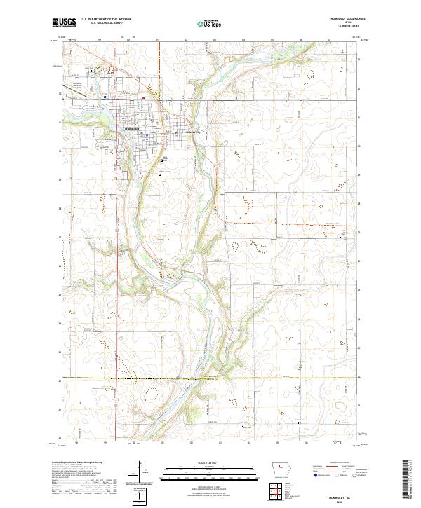
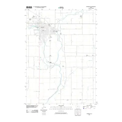 2010 Humboldt2010 Print · USGSCovers Humboldt, including Dakota City, Deer Creek Township, and other nearby areas
 - 2013 Map of Humboldt, 2013 Print
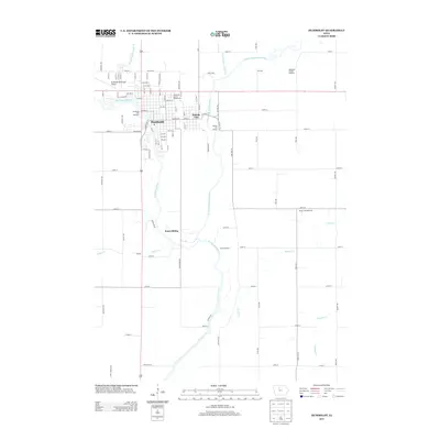 2013 Humboldt2013 Print · USGSCovers Humboldt, including Dakota City, Deer Creek Township, and other nearby areas
 - 2015 Map of Humboldt, 2015 Print
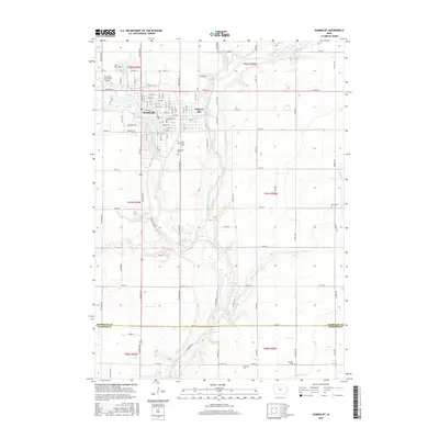 2015 Humboldt2015 Print · USGSCovers Humboldt, including Dakota City, Deer Creek Township, and other nearby areas
 - 2018 Map of Humboldt, 2018 Print
 2018 Humboldt2018 Print · USGSCovers Humboldt, including Dakota City, Deer Creek Township, and other nearby areas
 - 2022 Map of Humboldt, 2022 Print
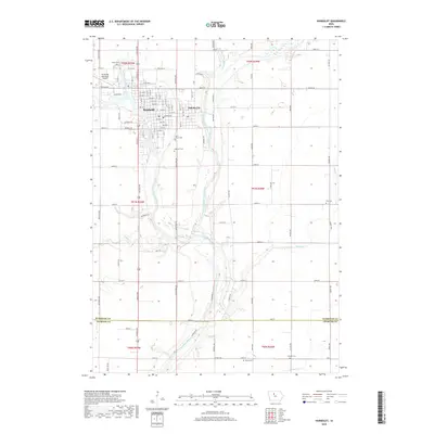
 2022 Humboldt2022 Print · USGSThe confluence of the Des Moines River forks shapes this modern look at Humboldt and Dakota City. Genealogists can locate several burial grounds like Union Cem and Zion Lutheran Cem alongside landmarks like the Humboldt County Courthouse.
End of results
Showing maps 1-11 of 11
Top cities near Humboldt
- Fort Dodge historical maps
- Dakota City historical maps
- Badger historical maps
- Gilmore City historical maps
- Livermore historical maps
- Bode historical maps
See more
Frequently asked questions
- What are the different types of historical maps available for Humboldt?
- What is the oldest map of Humboldt?
- Where can I purchase historical maps of Humboldt for my home or office?
- Where can I download high-res historical maps of Humboldt?
- Are there historical topographic maps available for Humboldt?
- Is there historical aerial imagery available for Humboldt?
- Where are historical maps of Humboldt sourced from?