2000s (21st Century) Maps of Elk Creek Township, Iowa
Explore 15 historic maps of Elk Creek Township from the 2000s (21st Century). These maps offer a rare glimpse into what life looked like during the 2000s — showing old roads, neighborhoods, homes, and landmarks that have changed or disappeared over time.
Whether you're researching your family's past, planning a metal detecting trip, or studying how Elk Creek Township's landscape evolved across the 2000s, these high-resolution maps are a powerful tool for exploring the history of this region.
- Focus on a specific era: All maps on this page are from the 2000s, giving you a focused view of this time period.
- See what’s changed: Compare century-old streets, trails, and buildings to today's modern landscape using overlays and satellite layers.
- Research with precision: Use these maps for genealogy, historical research, land use analysis, or educational projects.
- View, download, or print: Maps are fully viewable online in high resolution, and can be downloaded or printed for your own records.
Start exploring Elk Creek Township's history through authentic maps from the 2000s. This is your window into the past.
Elk Creek Township, IA maps
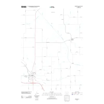
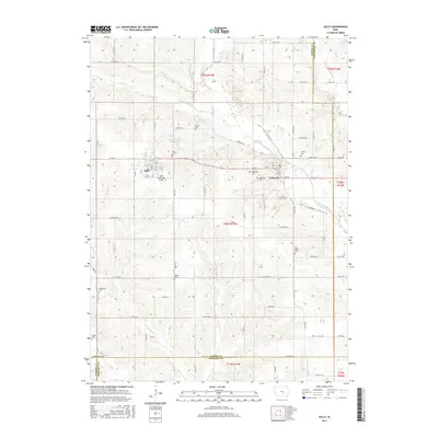
(15)- 2010 Map of Monroe, 2010 Print
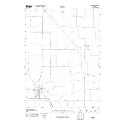 2010 Monroe2010 Print · USGSCovers Elk Creek Township, including Monroe, Reasnor, and other nearby areas
 - 2010 Map of Sully, 2010 Print
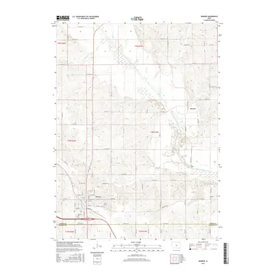
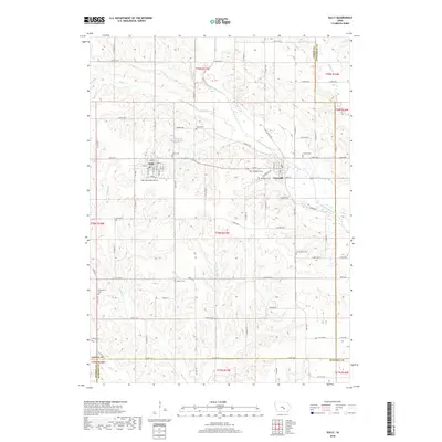
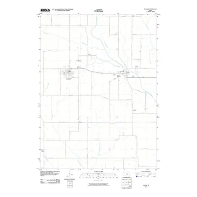 2010 Sully2010 Print · USGSCovers Elk Creek Township, including Sully, Lynnville, and other nearby areas
 - 2010 Map of Killduff, 2010 Print
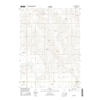
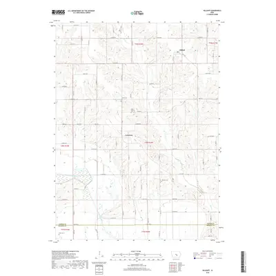
 2010 Killduff2010 Print · USGSCovers Elk Creek Township, including Richland Township, Lake Prairie Township, and other nearby areas
 - 2013 Map of Sully, 2013 Print
 2013 Sully2013 Print · USGSCovers Elk Creek Township, including Sully, Lynnville, and other nearby areas
 - 2013 Map of Monroe, 2013 Print
 2013 Monroe2013 Print · USGSCovers Elk Creek Township, including Monroe, Reasnor, and other nearby areas
 - 2013 Map of Killduff, 2013 Print
 2013 Killduff2013 Print · USGSCovers Elk Creek Township, including Richland Township, Lake Prairie Township, and other nearby areas
 - 2015 Map of Monroe, 2015 Print
 2015 Monroe2015 Print · USGSCovers Elk Creek Township, including Monroe, Reasnor, and other nearby areas
 - 2015 Map of Killduff, 2015 Print
 2015 Killduff2015 Print · USGSCovers Elk Creek Township, including Richland Township, Lake Prairie Township, and other nearby areas
 - 2015 Map of Sully, 2015 Print
 2015 Sully2015 Print · USGSCovers Elk Creek Township, including Sully, Lynnville, and other nearby areas
 - 2018 Map of Monroe, 2018 Print
 2018 Monroe2018 Print · USGSCovers Elk Creek Township, including Monroe, Reasnor, and other nearby areas
 - 2018 Map of Killduff, 2018 Print
 2018 Killduff2018 Print · USGSCovers Elk Creek Township, including Richland Township, Lake Prairie Township, and other nearby areas
 - 2018 Map of Sully, 2018 Print
 2018 Sully2018 Print · USGSCovers Elk Creek Township, including Sully, Lynnville, and other nearby areas
 - 2022 Map of Killduff, 2022 Print
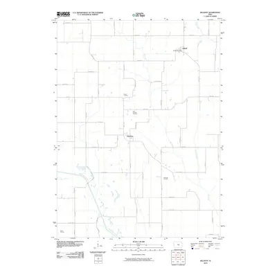
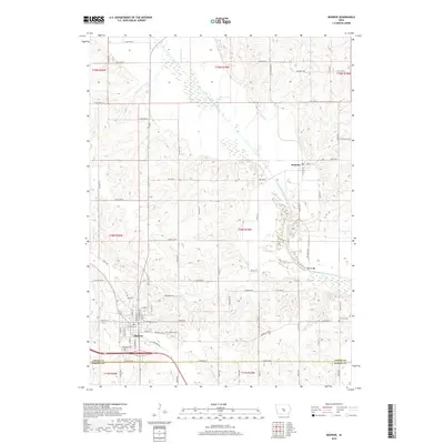
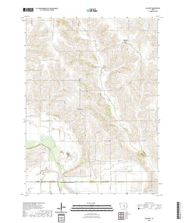 2022 Killduff2022 Print · USGSJasper County farmland and the drainage of the South Skunk River are captured here in the early twenty-first century. Genealogists can locate several historic burial grounds, including Hewitt Cem, Saint Andrews Cem, and Dearinger Cem near the village of Galesburg.
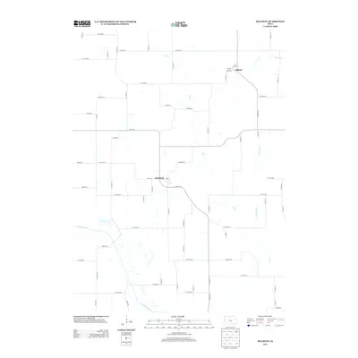
 - 2022 Map of Monroe, 2022 Print
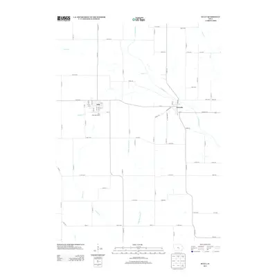
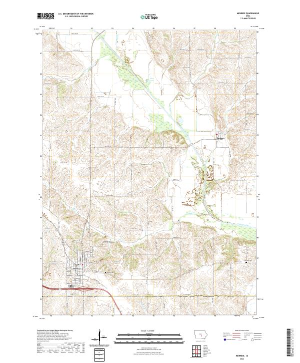 2022 Monroe2022 Print · USGSMonroe and the surrounding Jasper County farmlands are documented here in the early twenty-first century, showing the intersection of rural life and river geography. Researchers can locate family heritage sites like Seay Cem and Fairview Cem or trace the course of the South Skunk River.
 - 2022 Map of Sully, 2022 Print
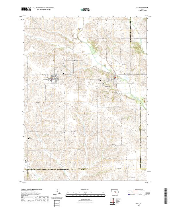 2022 Sully2022 Print · USGSJasper County agricultural lands and river valleys are captured here in the early twenty-first century. Researchers can trace rural lineages through numerous local sites like Sully Cem, Dairy Grove Cem, and the riverfront community of Lynnville.
End of results
Showing maps 1-15 of 15
Top cities near Elk Creek Township
- Newton historical maps
- Pella historical maps
- Grinnell historical maps
- Knoxville historical maps
- Monroe historical maps
- Sully historical maps
See more
Top neighborhoods of Elk Creek Township
Frequently asked questions
- What are the different types of historical maps available for Elk Creek Township?
- What is the oldest map of Elk Creek Township?
- Where can I purchase historical maps of Elk Creek Township for my home or office?
- Where can I download high-res historical maps of Elk Creek Township?
- Are there historical topographic maps available for Elk Creek Township?
- Is there historical aerial imagery available for Elk Creek Township?
- Where are historical maps of Elk Creek Township sourced from?