Old Maps of Rock Creek Township, Iowa for Metal Detecting
Plan your next treasure hunt with 29 historic maps of Rock Creek Township. Find old homesites, ghost towns, trails, and gathering spots that may be lost to time — perfect for identifying promising metal detecting locations.
- Locate forgotten sites: Uncover places like long-lost settlements, abandoned rail lines, or gathering spots.
- Plan better hunts: Use map overlays combined with LiDAR or satellite views to narrow in on historically rich areas.
- Made for detectorists: Thousands of hobbyists use these maps to discover relics, coins, and hidden history.
Use these historic maps to boost your research and find new opportunities beneath the surface of Rock Creek Township.
Rock Creek Township, IA maps
(29)- 1954 Map of Des Moines, 1973 Print
 1954 Des Moines1973 Print · USGSCentral Iowa's evolving landscape is captured here in the early seventies, just as major reservoirs were reshaping the river valleys. Genealogists and historians can trace the rail corridors of the Burlington Northern or locate family roots near Pella, Indianola, and Knoxville.2 unique versions available
 - 1956 Map of Des Moines
 1956 Des Moines1956 Print · USGSCentral Iowa in the mid-fifties shows a landscape defined by bustling rail hubs and deep-rooted agricultural research. Genealogists and researchers can trace the growth of Des Moines and Ames, locate the Sac and Fox Indian Reservation, or study the paths of the Skunk River and South Skunk River.
 - 1957 Map of Des Moines
 1957 Des Moines1957 Print · USGSCentral Iowa's post-war landscape is defined here by the converging rail lines and river valleys that shaped its earliest settlements. Genealogists and historians can trace the paths of the Rock Island Railroad and locate community landmarks in Des Moines, Ames, and Newton.
 - 1969 Map of Des Moines
 1969 Des Moines1969 Print · USGSCentral Iowa's fertile plains and growing capital are captured here during the late sixties, a time of major highway expansion and reservoir construction. Genealogists and researchers can trace rural township boundaries, local cemeteries, and rail lines serving towns like Pella, Grinnell, and Oskaloosa.
 - 1980 Map of Newburg
 1980 Newburg1980 Print · USGSJasper and Marshall counties are captured in the 1980s as rural agricultural centers defined by the Chicago and North Western railroad. Researchers can trace local heritage through landmarks like Newburg, Hickory Grove Ch, and the recreation areas at Rock Creek State Park.
 - 1980 Map of Alloway Creek
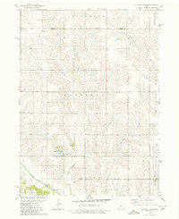 1980 Alloway Creek1980 Print · USGSThe rural borderlands of Jasper and Marshall counties come to life in this 1980 study of the Iowa heartland. Local historians can trace family roots near the Rushville Cem or explore the mid-century development of Mariposa County Park and Ken Wolfe Lake.
 - 1980 Map of Oakland Acres
 1980 Oakland Acres1980 Print · USGSJasper and Poweshiek counties were undergoing modern development in the early 1980s, balancing new highway infrastructure with established farming communities. Genealogists can locate family landmarks like Westfield Cem, Sugar Creek Cem, and the quiet grounds of Bethel Ch.
 - 1980 Map of Kellogg
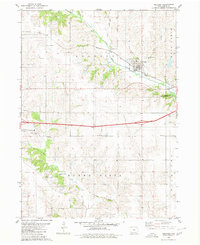 1980 Kellogg1980 Print · USGSJasper County is captured here in the early 1980s, centered on the river valley and rail corridor of Kellogg. Local historians can trace family roots through numerous burial grounds like Our Silent City Cem and rural landmarks such as Beacon Light Sch.2 unique versions available
 - 1984 Map of Grinnell, 1985 Print
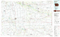 1984 Grinnell1985 Print · USGSCentral Iowa's prairie towns and rail corridors are captured in the mid-1980s, showcasing the agricultural grid and protected marshlands. Researchers can trace historic routes along the Chicago and North Western or locate family roots near the Sac and Fox Indian Reservation and Lake Ponderosa.2 unique versions available
 - 2010 Map of Alloway Creek, 2010 Print
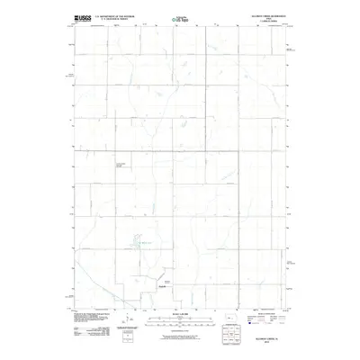 2010 Alloway Creek2010 Print · USGSMarshall County's rural landscape is captured here in the early twenty-first century, showing the intersection of modern agricultural life and natural hydrology. Local researchers can trace the path of Rock Creek as it winds through the section-line grids of Jefferson Township.
 - 2010 Map of Oakland Acres, 2010 Print
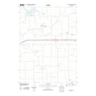 2010 Oakland Acres2010 Print · USGSJasper County's rural landscape is captured here during a period of modern growth near the North Skunk River. Genealogists and local historians can locate several historic burial sites like Bethel Cemetery and trace the development of Oakland Acres.
 - 2010 Map of Newburg, 2010 Print
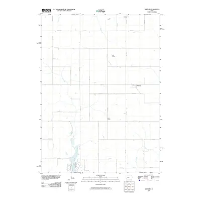 2010 Newburg2010 Print · USGSThe rural landscapes of Marshall and Jasper counties are captured here in the early twenty-first century. Genealogists and local historians can trace family roots at Mount Pleasant Cemetery, the settlement of Newburg, or the shores of Rock Creek Lake.
 - 2010 Map of Kellogg, 2010 Print
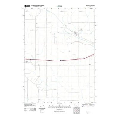 2010 Kellogg2010 Print · USGSJasper County agricultural life in the early twenty-first century is centered on the river crossing at Kellogg. Genealogists can trace family footprints across nearly a dozen local burial sites, including the Our Silent City Cemetery, Slagel Cemetery, and Murphy.
 - 2013 Map of Kellogg, 2013 Print
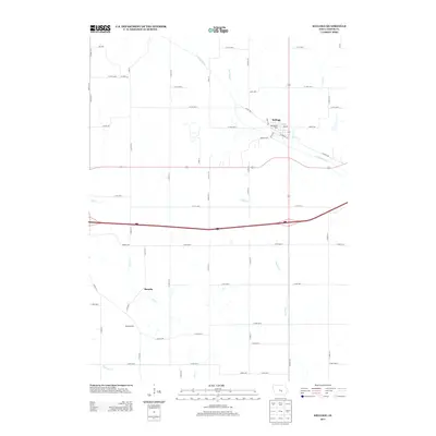 2013 Kellogg2013 Print · USGSJasper County farmland and river valleys are captured here in the early twenty-first century, centered on the historic community of Kellogg. Genealogists can trace family tracts near the N Skunk River or locate smaller rural points like Murphy and Adamsonville.
 - 2013 Map of Alloway Creek, 2013 Print
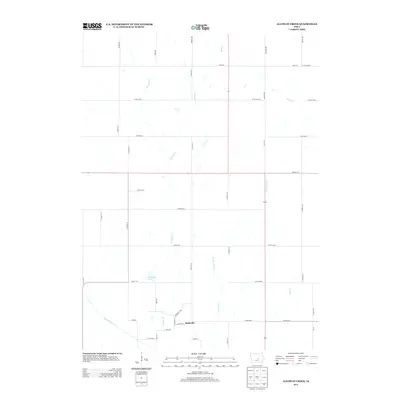 2013 Alloway Creek2013 Print · USGSIowa's Marshall County farmland is shown in detail during the early twenty-first century, centered on the settlement of Rushville. Researchers can trace the drainage of the N Skunk River and find local landmarks like Ken Wolfe Lake and Alloway Cr.
 - 2013 Map of Newburg, 2013 Print
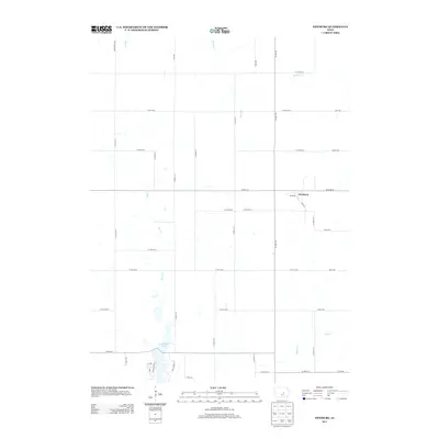 2013 Newburg2013 Print · USGSIn the early 2010s, this portion of Marshall County was a landscape of structured agricultural grids and winding prairie streams. Researchers can trace the layout of Newburg and the shoreline of Rock Creek Lake, or locate family-named thoroughfares like Adams St.
 - 2013 Map of Oakland Acres, 2013 Print
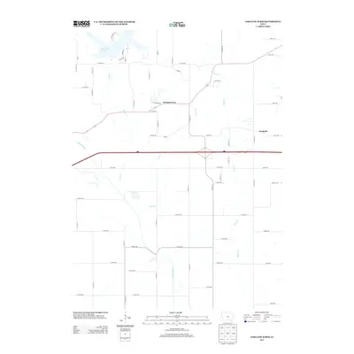 2013 Oakland Acres2013 Print · USGSOakland Acres and the surrounding Jasper County countryside are captured here in the early twenty-first century as the interstate corridor intersects with traditional farm lands. Genealogists and local historians can trace the creek-side settlement of Westfield and the shoreline of Rock Creek Lake near the N Skunk River.
 - 2015 Map of Alloway Creek, 2015 Print
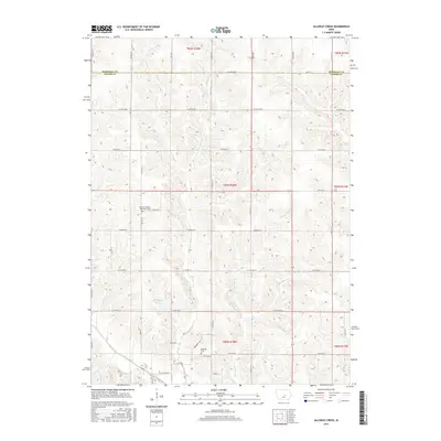 2015 Alloway Creek2015 Print · USGSThe rural borderlands of Marshall and Jasper Counties are captured here as they appeared in 2015. Genealogists and local researchers can locate family sites near the German Society Methodist Cemetery, Rushville Cem, and Ken Wolfe Lake.
 - 2015 Map of Kellogg, 2015 Print
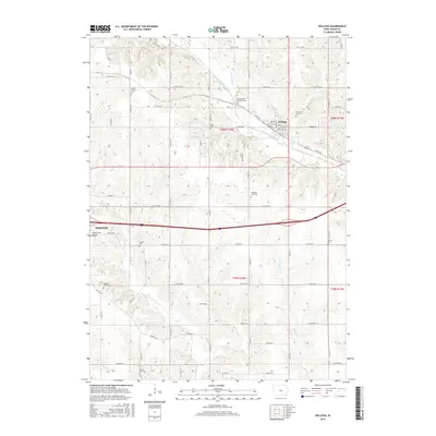 2015 Kellogg2015 Print · USGSJasper County in the early twenty-first century remains defined by its deep agricultural roots and a network of historic rural cemeteries. Researchers can locate numerous family and community burial sites like Our Silent City Cem, Mount Zion Cem, and Saums Cem.
 - 2015 Map of Newburg, 2015 Print
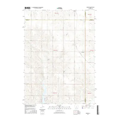 2015 Newburg2015 Print · USGSCentral Iowa's rural townships are documented here during the mid-2010s at the crossroads of four counties. Genealogists and local historians can trace family locations near Hickory Grove Cem, Rock Creek Lake, and the small settlement of Newburg.
 - 2015 Map of Oakland Acres, 2015 Print
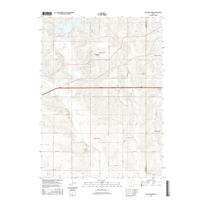 2015 Oakland Acres2015 Print · USGSThe rural border of Jasper and Poweshiek counties comes into focus in this mid-2010s survey, showing a landscape defined by agriculture and recreational waters. Genealogists and historians can locate several burial sites, such as the Mormon Grave, Rock Creek Cem, and Westfield Cem.
 - 2018 Map of Alloway Creek, 2018 Print
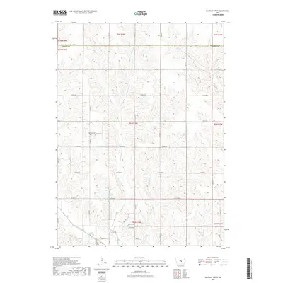 2018 Alloway Creek2018 Print · USGSMarshall and Jasper Counties are shown here during the late 2010s, capturing the enduring agricultural grid of central Iowa. Researchers can locate significant burial sites like the German Society Methodist Cemetery and Rushville Cemetery along with the North Skunk River.
 - 2018 Map of Kellogg, 2018 Print
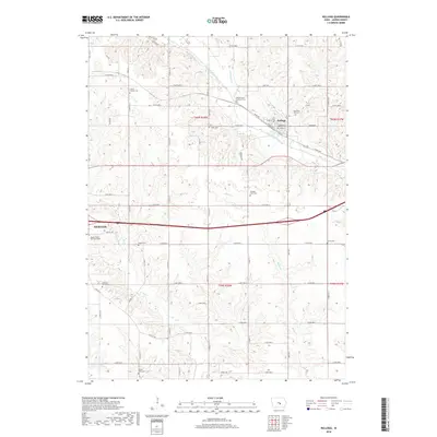 2018 Kellogg2018 Print · USGSJasper County in the early twenty-first century remains a landscape of deep-rooted farmsteads and quiet country crossroads. Genealogists can trace family heritage through numerous rural sites like Our Silent City Cem, Antle Cem, and the Adamson Grove Cem.
 - 2018 Map of Newburg, 2018 Print
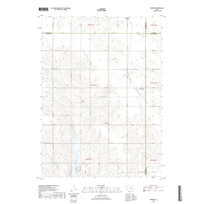 2018 Newburg2018 Print · USGSThis central Iowa landscape reflects a modern agricultural community at the intersection of Marshall, Jasper, Tama, and Poweshiek counties. You can trace local genealogy at Green Cem or Mount Pleasant Cem and explore the geography around Rock Creek Lake and Newburg.
 - 2018 Map of Oakland Acres, 2018 Print
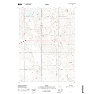 2018 Oakland Acres2018 Print · USGSThe Jasper and Poweshiek county line comes alive in this 2018 survey, showing a landscape shaped by the North Skunk River and Rock Creek Lake. Genealogists can locate several burial sites like Bethel Cem, the Westfield Cem, and the Mormon Grave.
Showing maps 1-25 of 29
Top cities near Rock Creek Township
- Newton historical maps
- Grinnell historical maps
- Sully historical maps
- Kellogg historical maps
- Gilman historical maps
- Lynnville historical maps
See more
Top neighborhoods of Rock Creek Township
Frequently asked questions
- What are the different types of historical maps available for Rock Creek Township?
- What is the oldest map of Rock Creek Township?
- Where can I purchase historical maps of Rock Creek Township for my home or office?
- Where can I download high-res historical maps of Rock Creek Township?
- Are there historical topographic maps available for Rock Creek Township?
- Is there historical aerial imagery available for Rock Creek Township?
- Where are historical maps of Rock Creek Township sourced from?