Old Maps of East Lucas Township, Iowa for Metal Detecting
Plan your next treasure hunt with 35 historic maps of East Lucas Township. Find old homesites, ghost towns, trails, and gathering spots that may be lost to time — perfect for identifying promising metal detecting locations.
- Locate forgotten sites: Uncover places like long-lost settlements, abandoned rail lines, or gathering spots.
- Plan better hunts: Use map overlays combined with LiDAR or satellite views to narrow in on historically rich areas.
- Made for detectorists: Thousands of hobbyists use these maps to discover relics, coins, and hidden history.
Use these historic maps to boost your research and find new opportunities beneath the surface of East Lucas Township.
East Lucas Township, IA maps
(35)- 1891 Map of Iowa City
 1891 Iowa City1891 Print · USGSIowa City and its surrounding townships appear at the peak of the late 19th-century rail era. Researchers can trace early railroad alignments like the Chicago Rock Island and Pacific and locate established settlements including Tiffin, Coralville, and South Liberty.3 unique versions available
 - 1894 Map of West Liberty
 1894 West Liberty1894 Print · USGSEastern Iowa in the late nineteenth century was a landscape of burgeoning rail towns and agricultural hubs. Genealogists and local historians can trace early property boundaries and settlement sites like West Branch, Plato, and the rail junction at West Liberty.2 unique versions available
 - 1901 Map of Stanwood
 1901 Stanwood1901 Print · USGSEastern Iowa is defined by its fertile plains and busy rail corridors at the turn of the century. Genealogists and historians can trace the early layouts of Tipton, West Liberty, and Mt. Vernon, alongside vanished stopping points like Lime City and Walden.2 unique versions available
 - 1903 Map of Fairfax
 1903 Fairfax1903 Print · USGSEastern Iowa's rail-and-river corridor is captured here at the start of the twentieth century, showing the region's transition into an agricultural powerhouse. Genealogists can locate the seven original communal villages of the Amana colonies and old educational sites like Western College.2 unique versions available
 - 1938 Map of Iowa City
 1938 Iowa City1938 Print · USGSIowa City and its surrounding townships are captured in the mid-1930s, revealing a landscape of rural schoolhouses and the early University of Iowa campus. Trace vanished local landmarks like the State Sanatorium, Iowa City Landing Field, and dozens of named country schools.3 unique versions available
 - 1958 Map of Davenport, 1968 Print
 1958 Davenport1968 Print · USGSEastern Iowa and western Illinois thrive along the river during the late fifties, defined by the industrial Quad Cities and a robust rail network. Genealogists can trace family roots through settlements like Oasis and Stanwood or along the Cedar River.2 unique versions available
 - 1961 Map of Davenport
 1961 Davenport1961 Print · USGSThe Quad Cities and the eastern Iowa riverlands are captured here in the early sixties, showing the region's transition into a modern industrial and transit hub. Genealogists and historians can trace the paths of major railroads and find river landmarks like Rock Island Arsenal, Huron Island, and the Coralville Reservoir.
 - 1962 Map of Davenport
 1962 Davenport1962 Print · USGSThe Quad Cities and the Mississippi River corridor are shown at their industrial peak just before the interstate era fully transformed the region. Researchers can trace the sprawling rail networks of the Chicago Rock Island and Pacific and find landmarks like the Rock Island Arsenal and Wild Cat Den State Park.
 - 1965 Map of Iowa City West, 1967 Print
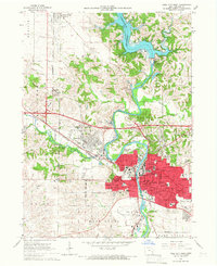 1965 Iowa City West1967 Print · USGSThe mid-sixties growth of Iowa City and its university is captured here as the Coralville Reservoir reshapes the northern landscape. Trace the footprints of Oakland Cemetery, Penn Sch, and the Cedar Rapids and Iowa City rail line.3 unique versions available
 - 1965 Map of West Liberty SW, 1967 Print
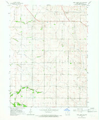 1965 West Liberty SW1967 Print · USGSJohnson County farmland south of Iowa City is captured here in the mid-1960s, showing a landscape defined by township lines and prairie creeks. Researchers can locate rural landmarks like Scott Cem, Walker Cem, and the Chicago Rock Island and Pacific rail line.
 - 1965 Map of Hills, 1967 Print
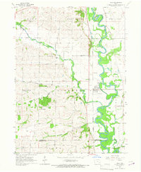 1965 Hills1967 Print · USGSJohnson County in the mid-sixties reveals a river-valley landscape defined by the winding Iowa River and the small-town hub of Hills. Genealogists and local historians can trace family locations near St Stanislaus Ch, Sandtown Cem, and several rural school sites.2 unique versions available
 - 1965 Map of Iowa City East, 1967 Print
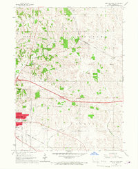 1965 Iowa City East1967 Print · USGSThe eastern outskirts of Iowa City and rural Johnson County are captured here in the mid-1960s, showing a landscape shaped by rail and agriculture. Researchers can locate numerous vanished country schoolhouses like Railroad Sch and Center Sch, along with the Chicago Rock Island and Pacific rail line.3 unique versions available
 - 1984 Map of Iowa City, 1985 Print
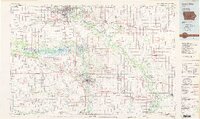 1984 Iowa City1985 Print · USGSEastern Iowa in the mid-eighties shows a landscape of expanding university towns and river-fed conservation lands. Genealogists and local historians can trace the rural networks connecting Iowa City to smaller outposts like West Branch, Solon, and Atalissa.2 unique versions available
 - 1993 Map of Iowa City East, 1994 Print
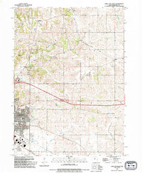 1993 Iowa City East1994 Print · USGSIowa City and its eastern rural surroundings are documented in the early nineties as suburban expansion met established farmsteads. Genealogists and historians can trace Memory Gardens Cem, the Old Railroad Grade, and the small community of Oasis.
 - 1994 Map of Iowa City West
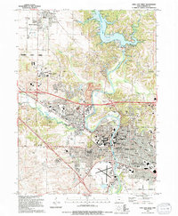 1994 Iowa City West1994 Print · USGSThe Iowa City corridor shows rapid academic and civic expansion during the mid-nineties. Researchers can trace historic cemeteries like Oakland Cem, early school sites such as Penn Sch, and the winding Iowa River valley from North Liberty to the Iowa City Municipal Airport.2 unique versions available
 - 2010 Map of West Liberty SW, 2010 Print
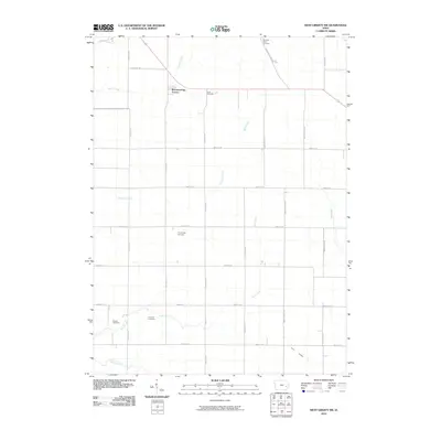 2010 West Liberty SW2010 Print · USGSSoutheast of Iowa City in the early twenty-first century, this area shows a landscape of established farmsteads and growing residential pockets. Genealogists can trace several local burial grounds including Trowbridge Cemetery, Scott Cemetery, and the family-named Molback Farm Cemetery.
 - 2010 Map of Iowa City West, 2010 Print
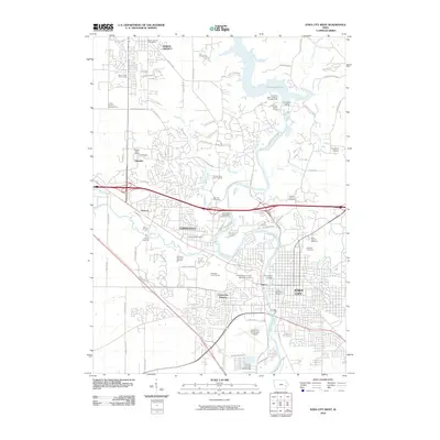 2010 Iowa City West2010 Print · USGSIowa City and its neighboring suburbs are shown at a peak of institutional growth and reservoir development. Trace historic burial sites like Morman Burying Ground, the expansive University of Iowa campus, and the Coralville Dam.
 - 2010 Map of Iowa City East, 2010 Print
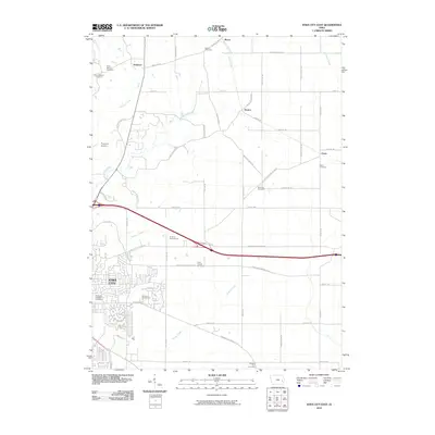 2010 Iowa City East2010 Print · USGSThe eastern outskirts of Iowa City and the surrounding Johnson County farmland are captured here in the early 21st century. Researchers can locate numerous family and local burial sites like Brick Chapel Cemetery and Molback Farm Cemetery near Elmira and Oasis.
 - 2010 Map of Hills, 2010 Print
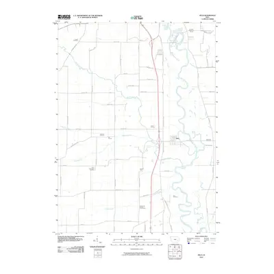 2010 Hills2010 Print · USGSSouthern Johnson County in the early twenty-first century reveals a landscape where academic science and deep-rooted rural history meet. Genealogists and historians can trace family ties through Saint Stanislaus Cemetery and Welsh Cemetery, or locate the University of Iowa Observatory near the settlement of Seventy Eight.
 - 2013 Map of West Liberty SW, 2013 Print
 2013 West Liberty SW2013 Print · USGSJohnson County farmland is captured here in the early twenty-first century, showing a landscape defined by prairie creeks and a geometric road grid. Researchers can trace the rural settlement at Morfordsville and follow the paths of Big Slough and Buck Cr.
 - 2013 Map of Iowa City East, 2013 Print
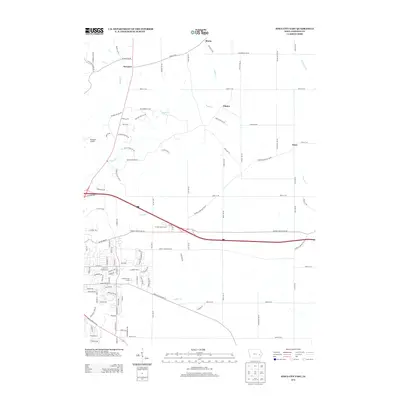 2013 Iowa City East2013 Print · USGSEastern Johnson County in the early twenty-first century reveals a landscape of enduring rural settlements and advancing suburban infrastructure. Trace family connections and land use through Morse, Elmira, and Oasis, or follow the winding courses of Rapid Cr and Snyder Cr.
 - 2013 Map of Hills, 2013 Print
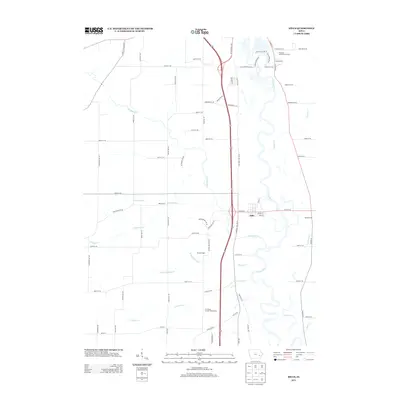 2013 Hills2013 Print · USGSJohnson County south of Iowa City is shown here in the early twenty-first century as the Iowa River winds through a landscape of established farmsteads and rural crossroads. Researchers can trace local history through settlements like Hills and Bon Accord or locate the University of Iowa Observatory.
 - 2013 Map of Iowa City West, 2013 Print
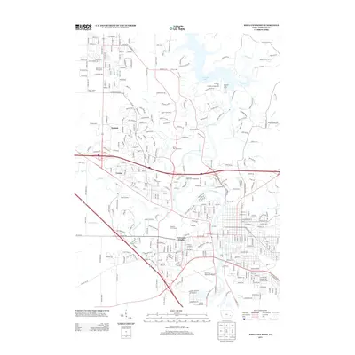 2013 Iowa City West2013 Print · USGSIowa City and its western suburbs show a decade of significant growth and institutional development in this 2013 survey. Researchers can trace the layout of University Heights or locate landmarks like Finkbine Golf Course and the Devonian Fossil Gorge.
 - 2015 Map of Iowa City East, 2015 Print
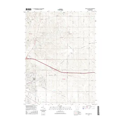 2015 Iowa City East2015 Print · USGSEast of Iowa City in the mid-2010s, the landscape is a mix of growing residential outskirts and established rural townships. Researchers can trace the heritage of local settlements like Morse and Oasis, and locate family burial sites at Saint Marys Cem and Brick Chapel Cem.
 - 2015 Map of West Liberty SW, 2015 Print
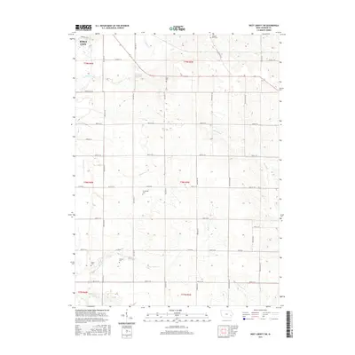 2015 West Liberty SW2015 Print · USGSSoutheast of Iowa City in the mid-2010s, this landscape shows the meeting point of expanding urban limits and traditional farm tracts. Genealogists can locate several small, family-named burial grounds like Walker Cem, Fountain Cem, and Trowbridge Cem.
Showing maps 1-25 of 35
Top cities near East Lucas Township
- Cedar Rapids historical maps
- Iowa City historical maps
- Coralville historical maps
- North Liberty historical maps
- Tiffin historical maps
- Solon historical maps
See more
Frequently asked questions
- What are the different types of historical maps available for East Lucas Township?
- What is the oldest map of East Lucas Township?
- Where can I purchase historical maps of East Lucas Township for my home or office?
- Where can I download high-res historical maps of East Lucas Township?
- Are there historical topographic maps available for East Lucas Township?
- Is there historical aerial imagery available for East Lucas Township?
- Where are historical maps of East Lucas Township sourced from?