2010s Maps of East Lucas Township, Iowa
Explore 16 historic maps of East Lucas Township from the 2010s. These maps offer a rare glimpse into what life looked like during the 2010s — showing old roads, neighborhoods, homes, and landmarks that have changed or disappeared over time.
Whether you're researching your family's past, planning a metal detecting trip, or studying how East Lucas Township's landscape evolved across the 2010s, these high-resolution maps are a powerful tool for exploring the history of this region.
- Focus on a specific era: All maps on this page are from the 2010s, giving you a focused view of this time period.
- See what’s changed: Compare century-old streets, trails, and buildings to today's modern landscape using overlays and satellite layers.
- Research with precision: Use these maps for genealogy, historical research, land use analysis, or educational projects.
- View, download, or print: Maps are fully viewable online in high resolution, and can be downloaded or printed for your own records.
Start exploring East Lucas Township's history through authentic maps from the 2010s. This is your window into the past.
East Lucas Township, IA maps
(16)- 2010 Map of West Liberty SW, 2010 Print
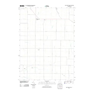 2010 West Liberty SW2010 Print · USGSSoutheast of Iowa City in the early twenty-first century, this area shows a landscape of established farmsteads and growing residential pockets. Genealogists can trace several local burial grounds including Trowbridge Cemetery, Scott Cemetery, and the family-named Molback Farm Cemetery.
 - 2010 Map of Iowa City West, 2010 Print
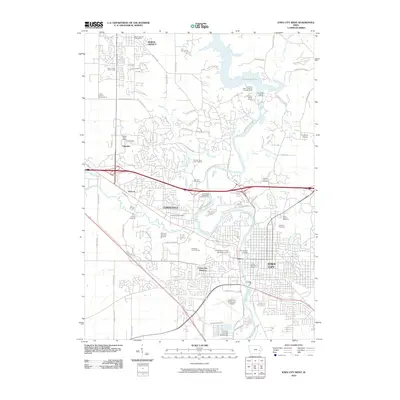 2010 Iowa City West2010 Print · USGSIowa City and its neighboring suburbs are shown at a peak of institutional growth and reservoir development. Trace historic burial sites like Morman Burying Ground, the expansive University of Iowa campus, and the Coralville Dam.
 - 2010 Map of Iowa City East, 2010 Print
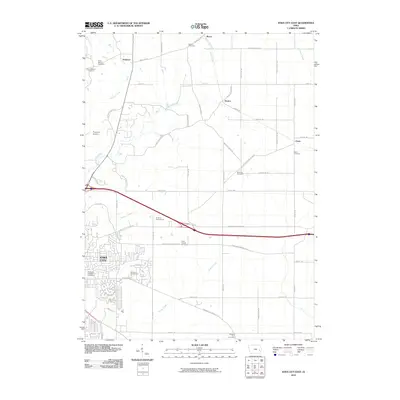 2010 Iowa City East2010 Print · USGSThe eastern outskirts of Iowa City and the surrounding Johnson County farmland are captured here in the early 21st century. Researchers can locate numerous family and local burial sites like Brick Chapel Cemetery and Molback Farm Cemetery near Elmira and Oasis.
 - 2010 Map of Hills, 2010 Print
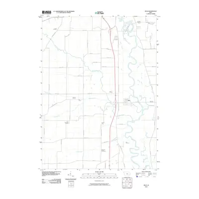 2010 Hills2010 Print · USGSSouthern Johnson County in the early twenty-first century reveals a landscape where academic science and deep-rooted rural history meet. Genealogists and historians can trace family ties through Saint Stanislaus Cemetery and Welsh Cemetery, or locate the University of Iowa Observatory near the settlement of Seventy Eight.
 - 2013 Map of West Liberty SW, 2013 Print
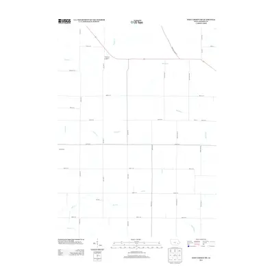 2013 West Liberty SW2013 Print · USGSJohnson County farmland is captured here in the early twenty-first century, showing a landscape defined by prairie creeks and a geometric road grid. Researchers can trace the rural settlement at Morfordsville and follow the paths of Big Slough and Buck Cr.
 - 2013 Map of Iowa City East, 2013 Print
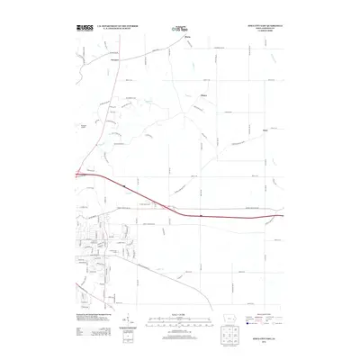 2013 Iowa City East2013 Print · USGSEastern Johnson County in the early twenty-first century reveals a landscape of enduring rural settlements and advancing suburban infrastructure. Trace family connections and land use through Morse, Elmira, and Oasis, or follow the winding courses of Rapid Cr and Snyder Cr.
 - 2013 Map of Hills, 2013 Print
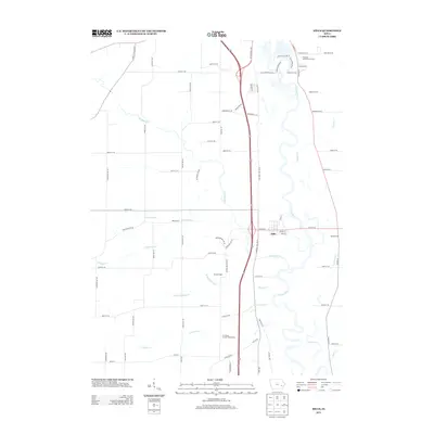 2013 Hills2013 Print · USGSJohnson County south of Iowa City is shown here in the early twenty-first century as the Iowa River winds through a landscape of established farmsteads and rural crossroads. Researchers can trace local history through settlements like Hills and Bon Accord or locate the University of Iowa Observatory.
 - 2013 Map of Iowa City West, 2013 Print
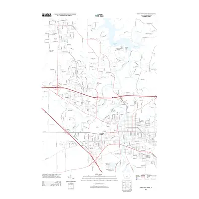 2013 Iowa City West2013 Print · USGSIowa City and its western suburbs show a decade of significant growth and institutional development in this 2013 survey. Researchers can trace the layout of University Heights or locate landmarks like Finkbine Golf Course and the Devonian Fossil Gorge.
 - 2015 Map of Iowa City East, 2015 Print
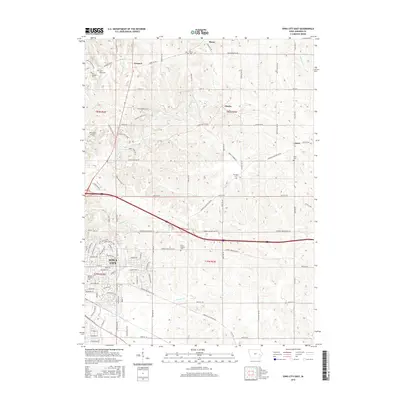 2015 Iowa City East2015 Print · USGSEast of Iowa City in the mid-2010s, the landscape is a mix of growing residential outskirts and established rural townships. Researchers can trace the heritage of local settlements like Morse and Oasis, and locate family burial sites at Saint Marys Cem and Brick Chapel Cem.
 - 2015 Map of West Liberty SW, 2015 Print
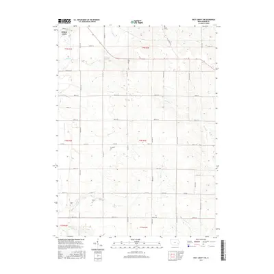 2015 West Liberty SW2015 Print · USGSSoutheast of Iowa City in the mid-2010s, this landscape shows the meeting point of expanding urban limits and traditional farm tracts. Genealogists can locate several small, family-named burial grounds like Walker Cem, Fountain Cem, and Trowbridge Cem.
 - 2015 Map of Iowa City West, 2015 Print
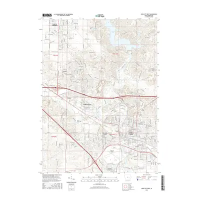 2015 Iowa City West2015 Print · USGSIowa City and its neighboring suburbs are shown in detail during a period of significant growth along the Iowa River. Researchers can trace local history through several burial grounds, including Oakland Cem and the Morman Burying Ground, or locate landmarks like the Univ of Iowa.
 - 2015 Map of Hills, 2015 Print
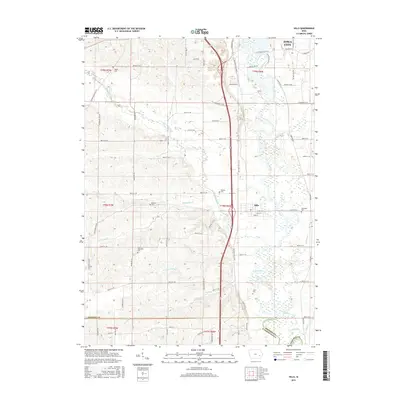 2015 Hills2015 Print · USGSJohnson County in 2015 remains a landscape of deep-rooted farmsteads and river valley settlements just south of the state university. Genealogists can locate specific burial sites like Saint Stanislaus Cem and Mentzer Cem along the winding banks of Old Mans Creek.
 - 2018 Map of West Liberty SW, 2018 Print
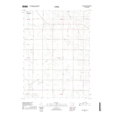 2018 West Liberty SW2018 Print · USGSJohnson County’s rural transition south of the county seat is captured here in the late 2010s. Family historians can trace several burial grounds across the section lines, from the Molback Farm Cem to Walker Cem and Trowbridge Cem.
 - 2018 Map of Hills, 2018 Print
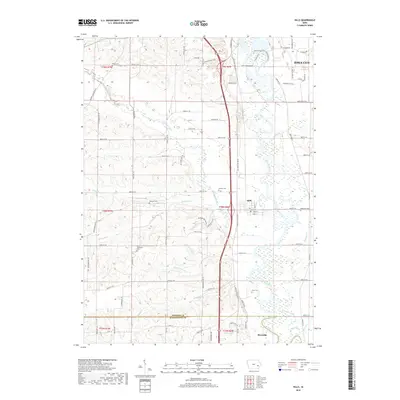 2018 Hills2018 Print · USGSJohnson County's river-fed southern reaches are meticulously detailed here during a period of modern growth and agricultural stability. Genealogists and local historians can trace family roots through several rural burial grounds, including Welsh Cemetery, Saint Stanislaus Cemetery, and Cline Cemetery.
 - 2018 Map of Iowa City West, 2018 Print
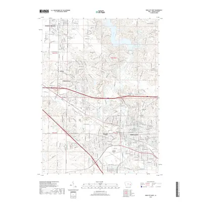 2018 Iowa City West2018 Print · USGSIowa City and its western neighbors are shown here in the late 2010s as the urban landscape reaches toward the Iowa River. Researchers can trace historic local sites like Oakland Cemetery, the Crandic RR route, and the Pioneer Burial Ground.
 - 2018 Map of Iowa City East, 2018 Print
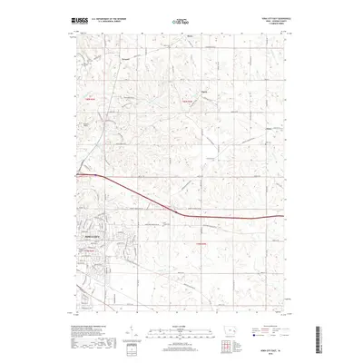 2018 Iowa City East2018 Print · USGSThe eastern edges of Iowa City and the surrounding farm country are captured here in the late 2010s. Genealogists and researchers can trace a high concentration of local cemeteries, including Memory Gardens Cem, Brick Chapel Cem, and Oasis Cem.
End of results
Showing maps 1-16 of 16
Top cities near East Lucas Township
- Cedar Rapids historical maps
- Iowa City historical maps
- Coralville historical maps
- North Liberty historical maps
- Tiffin historical maps
- Solon historical maps
See more
Frequently asked questions
- What are the different types of historical maps available for East Lucas Township?
- What is the oldest map of East Lucas Township?
- Where can I purchase historical maps of East Lucas Township for my home or office?
- Where can I download high-res historical maps of East Lucas Township?
- Are there historical topographic maps available for East Lucas Township?
- Is there historical aerial imagery available for East Lucas Township?
- Where are historical maps of East Lucas Township sourced from?