Old Maps of Martinsburg, Iowa for Hiking & Exploration
Hike through history with 18 historic maps of Martinsburg. Explore old trails, ghost towns, and forgotten backroads — perfect for outdoor adventurers and local explorers.
- Rediscover forgotten places: Map out old mining camps, roads, and footpaths that no longer exist on modern maps.
- Layer with modern tools: Combine with LiDAR or satellite views to plan hikes through historical terrain.
- Made for exploration: Popular among hikers, overlanders, and local history lovers.
Use these maps to find adventure and explore the hidden past of Martinsburg.
Martinsburg, IA maps
(18)- 1954 Map of Des Moines, 1973 Print
 1954 Des Moines1973 Print · USGSCentral Iowa's evolving landscape is captured here in the early seventies, just as major reservoirs were reshaping the river valleys. Genealogists and historians can trace the rail corridors of the Burlington Northern or locate family roots near Pella, Indianola, and Knoxville.2 unique versions available
 - 1956 Map of Des Moines
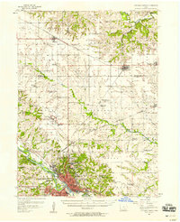
 1956 Des Moines1956 Print · USGSCentral Iowa in the mid-fifties shows a landscape defined by bustling rail hubs and deep-rooted agricultural research. Genealogists and researchers can trace the growth of Des Moines and Ames, locate the Sac and Fox Indian Reservation, or study the paths of the Skunk River and South Skunk River.
 - 1956 Map of Ottumwa North, 1958 Print
 1956 Ottumwa North1958 Print · USGSMid-century Ottumwa and its surrounding townships show a bustling river-and-rail economy as the region expanded in the fifties. Genealogists can trace family sites at Memorial Lawn Cemetery and locate vanished rural landmarks like Shiloh Church.
 - 1957 Map of Des Moines
 1957 Des Moines1957 Print · USGSCentral Iowa's post-war landscape is defined here by the converging rail lines and river valleys that shaped its earliest settlements. Genealogists and historians can trace the paths of the Rock Island Railroad and locate community landmarks in Des Moines, Ames, and Newton.
 - 1969 Map of Des Moines
 1969 Des Moines1969 Print · USGSCentral Iowa's fertile plains and growing capital are captured here during the late sixties, a time of major highway expansion and reservoir construction. Genealogists and researchers can trace rural township boundaries, local cemeteries, and rail lines serving towns like Pella, Grinnell, and Oskaloosa.
 - 1980 Map of Hedrick, 1981 Print
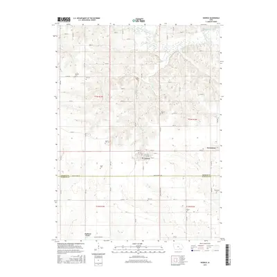
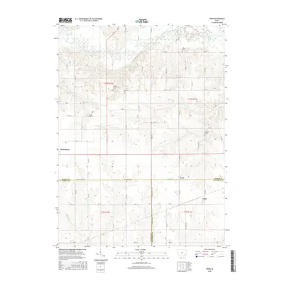
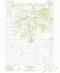 1980 Hedrick1981 Print · USGSHedrick and the surrounding Keokuk County farmland are captured in the early eighties as the rail lines still shaped the local economy. Genealogists and local historians can trace numerous rural burial sites including Akerman Cem, Hook Cem, and Deuser Cem.
 - 1980 Map of Pekin, 1981 Print
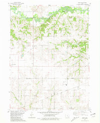 1980 Pekin1981 Print · USGSSoutheast Iowa farming communities thrive at the meeting point of Keokuk, Jefferson, and Wapello counties during the late twentieth century. Researchers can trace rural life through landmarks like Van Orsdall Cem, the Pekin Community Sch, and the Old Railroad Grade.
 - 1982 Map of Oskaloosa
 1982 Oskaloosa1982 Print · USGSSoutheast Iowa's river valleys and rail hubs are meticulously detailed in the early eighties, showing a landscape of productive farmland and growing municipal centers. Researchers can trace the legacy of small-town life and local industry through features like Union Mills, What Cheer, and the extensive Burlington Northern rail network.
 - 2010 Map of Hedrick, 2010 Print
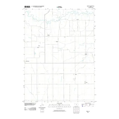
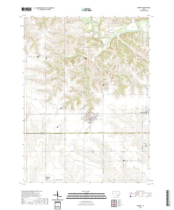
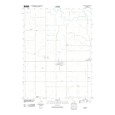 2010 Hedrick2010 Print · USGSCovers Martinsburg, including Hedrick, Highland Center, and other nearby areas
 - 2010 Map of Pekin, 2010 Print
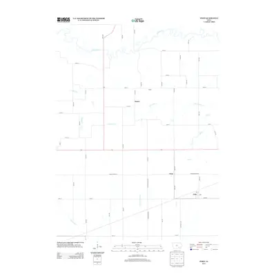
 2010 Pekin2010 Print · USGSCovers Martinsburg, including Nugent, Pekin, and other nearby areas
 - 2013 Map of Pekin, 2013 Print
 2013 Pekin2013 Print · USGSCovers Martinsburg, including Nugent, Pekin, and other nearby areas
 - 2013 Map of Hedrick, 2013 Print
 2013 Hedrick2013 Print · USGSCovers Martinsburg, including Hedrick, Highland Center, and other nearby areas
 - 2015 Map of Hedrick, 2015 Print
 2015 Hedrick2015 Print · USGSCovers Martinsburg, including Hedrick, Highland Center, and other nearby areas
 - 2015 Map of Pekin, 2015 Print
 2015 Pekin2015 Print · USGSCovers Martinsburg, including Nugent, Pekin, and other nearby areas
 - 2018 Map of Hedrick, 2018 Print
 2018 Hedrick2018 Print · USGSCovers Martinsburg, including Hedrick, Highland Center, and other nearby areas
 - 2018 Map of Pekin, 2018 Print
 2018 Pekin2018 Print · USGSCovers Martinsburg, including Nugent, Pekin, and other nearby areas
 - 2022 Map of Hedrick, 2022 Print
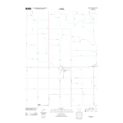
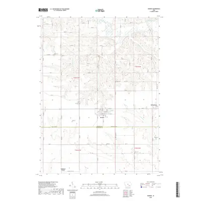
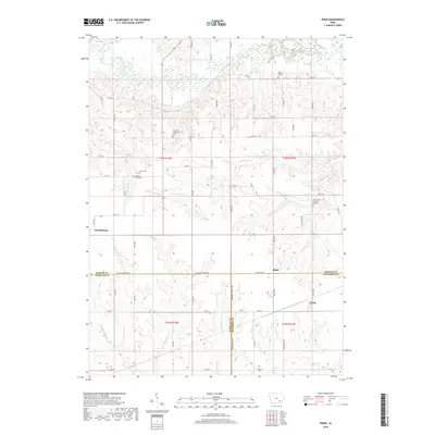
 2022 Hedrick2022 Print · USGSThe prairie landscape surrounding Hedrick and Martinsburg is shown in detail during the early 2020s. Researchers can locate numerous local burial sites including Akerman Cem and Slagle Cem while tracing the waters of the South Skunk River.
 - 2022 Map of Pekin, 2022 Print
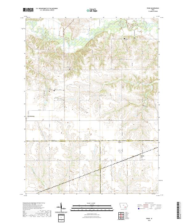 2022 Pekin2022 Print · USGSSoutheastern Iowa's rural townships are documented here as they appeared in the early 2020s, centered on the tri-county junction of Keokuk, Wapello, and Jefferson. Researchers can locate family burial sites like Rock Creek Cem and Jones Cem while tracing the winding path of the South Skunk River.
End of results
Showing maps 1-18 of 18
Top cities near Martinsburg
- Ottumwa historical maps
- Sigourney historical maps
- Hedrick historical maps
- Fremont historical maps
- Agency historical maps
- What Cheer historical maps
See more
Frequently asked questions
- What are the different types of historical maps available for Martinsburg?
- What is the oldest map of Martinsburg?
- Where can I purchase historical maps of Martinsburg for my home or office?
- Where can I download high-res historical maps of Martinsburg?
- Are there historical topographic maps available for Martinsburg?
- Is there historical aerial imagery available for Martinsburg?
- Where are historical maps of Martinsburg sourced from?