Old Maps of Wesley, Iowa for Academic Research
Study the evolution of Wesley with 19 high-resolution historic maps. Whether you're teaching, researching, or modeling changes in land use, these maps provide essential visual documentation of urban, environmental, and geographic change.
- Analyze long-term change: Track patterns in development, transportation, and natural features.
- Ideal for environmental or urban studies: Support academic projects with primary historical map data.
- Use in the classroom or lab: Educators and researchers rely on these maps to bring historical context to life.
These maps are a powerful tool for teaching, research, and visualizing how Wesley has changed over the decades.
Wesley, IA maps
(19)- 1954 Map of Fairmont, 1967 Print
 1954 Fairmont1967 Print · USGSThe prairie landscape of southern Minnesota and northern Iowa comes alive in this mid-century survey of the Coteau des Prairies. Genealogists and historians can trace the rail-connected growth of Fairmont and Blue Earth or locate family roots near St Kilian Ch and Union Slough National Wildlife Refuge.3 unique versions available
 - 1954 Map of Mason City, 1967 Print
 1954 Mason City1967 Print · USGSSouthern Minnesota and northern Iowa are shown here at the height of the mid-century rail era, centered on the regional hubs of Mason City and Rochester. Researchers can trace the vanished paths of the Chicago Great Western and find local landmarks like Pilot Knob and Bear Lake.2 unique versions available
 - 1957 Map of Mason City
 1957 Mason City1957 Print · USGSThe Minnesota-Iowa border region comes alive in this mid-century survey, from the industrial plants of Mason City to the medical hub of Rochester. Researchers can trace the rail-and-river economy through the Chicago Great Western Railway and the Shell Rock River.
 - 1958 Map of Mason City
 1958 Mason City1958 Print · USGSSouthern Minnesota and northern Iowa are shown during the mid-fifties when railroads still anchored the regional economy. Genealogists and historians can trace the intricate rail networks of the Illinois Central and find local landmarks in Mason City, Albert Lea, and Austin.
 - 1958 Map of Fairmont
 1958 Fairmont1958 Print · USGSThe borderlands of southern Minnesota and northern Iowa come alive in the mid-1950s, showing a landscape defined by glacial lakes and rail-line commerce. Researchers can trace historic landmarks like Lakeside Laboratory, Gridley Station, and the Bancroft Wildlife Refuge across the prairie.
 - 1972 Map of Sexton, 1975 Print
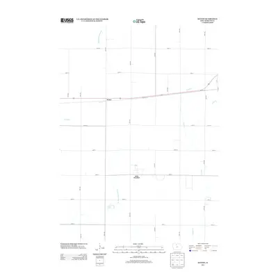
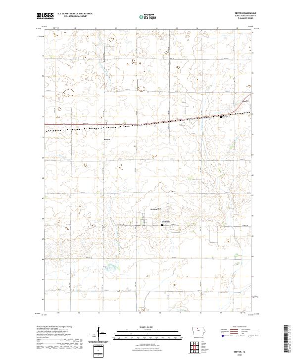
 1972 Sexton1975 Print · USGSAgricultural life in Kossuth County during the early seventies centers on the rail-side village of Sexton. Researchers can trace the legacy of rural Iowa through the Old Railroad Grade, the Wesley Evergreen Cem, and the small community of St Benedict.
 - 1972 Map of Wesley, 1975 Print
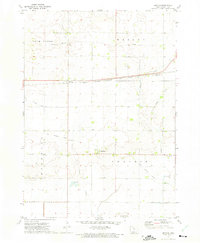
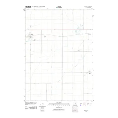
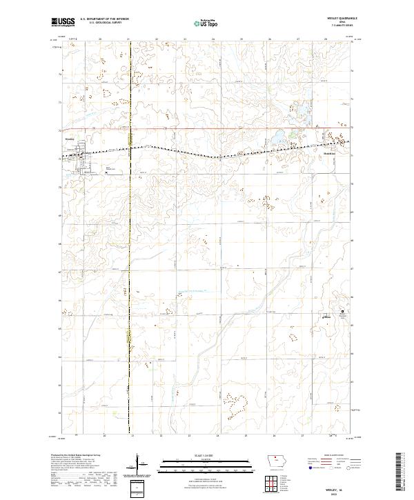
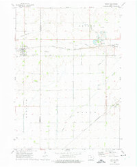 1972 Wesley1975 Print · USGSThe North-Central Iowa prairie is documented here in the early 1970s, showcasing a landscape defined by heavy rail and extensive drainage engineering. Researchers can locate the small communities of Hutchins and Stilson, or trace family roots at St Joseph Cem and Township Cem.
 - 1985 Map of Mason City
 1985 Mason City1985 Print · USGSThe Northern Iowa and Southern Minnesota borderlands are captured here in the mid-eighties, showing a region defined by agricultural drainage and rail heritage. Genealogists and historians can trace the grid of rural townships and find local landmarks like Pilot Knob State Park, Nora Springs, and Clear Lake State Park.2 unique versions available
 - 1985 Map of Estherville
 1985 Estherville1985 Print · USGSNorthern Iowa in the mid-eighties was a landscape of grid-patterned agriculture and vast marshland conservation. Genealogists can locate rural landmarks like Oak Hill Cemetery and Fourmile Lake School, or trace the rail lines of the Chicago and North Western.2 unique versions available
 - 2010 Map of Sexton, 2010 Print
 2010 Sexton2010 Print · USGSCovers Wesley, including Sexton, Saint Benedict, and other nearby areas
 - 2010 Map of Wesley, 2010 Print
 2010 Wesley2010 Print · USGSCovers Wesley, including Hutchins, Stilson, and other nearby areas
 - 2013 Map of Wesley, 2013 Print
 2013 Wesley2013 Print · USGSCovers Wesley, including Hutchins, Stilson, and other nearby areas
 - 2013 Map of Sexton, 2013 Print
 2013 Sexton2013 Print · USGSCovers Wesley, including Sexton, Saint Benedict, and other nearby areas
 - 2015 Map of Wesley, 2015 Print
 2015 Wesley2015 Print · USGSCovers Wesley, including Hutchins, Stilson, and other nearby areas
 - 2015 Map of Sexton, 2015 Print
 2015 Sexton2015 Print · USGSCovers Wesley, including Sexton, Saint Benedict, and other nearby areas
 - 2018 Map of Sexton, 2018 Print
 2018 Sexton2018 Print · USGSCovers Wesley, including Sexton, Saint Benedict, and other nearby areas
 - 2018 Map of Wesley, 2018 Print
 2018 Wesley2018 Print · USGSCovers Wesley, including Hutchins, Stilson, and other nearby areas
 - 2022 Map of Wesley, 2022 Print
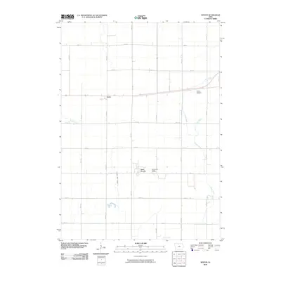
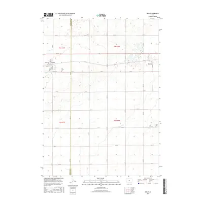
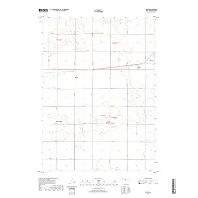
 2022 Wesley2022 Print · USGSThe Kossuth and Hancock County line divides this Iowa prairie landscape during the early 2020s. Genealogists can trace family sites at Saint Joseph Cemetery and Boone Township Cemetery or explore the rural rail-side hamlet of Hutchins.
 - 2022 Map of Sexton, 2022 Print
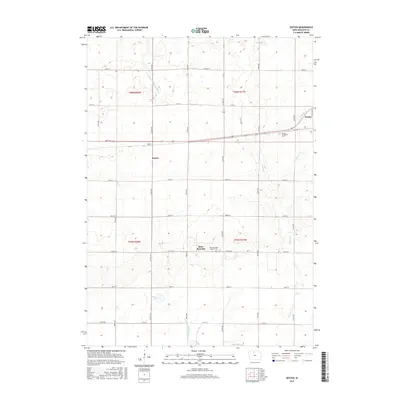
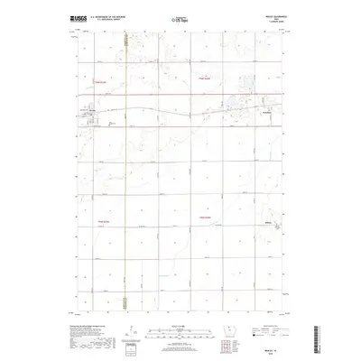
 2022 Sexton2022 Print · USGSKossuth County's agricultural heartland is documented here in the early twenty-first century, showing the enduring grid of rural settlements. Genealogists can locate family sites near Saint Benedict Catholic Cem or trace the early paths of Old Hwy 18.
End of results
Showing maps 1-19 of 19
Top cities near Wesley
- Algona historical maps
- Britt historical maps
- Bancroft historical maps
- Kanawha historical maps
- Titonka historical maps
- Burt historical maps
See more
Frequently asked questions
- What are the different types of historical maps available for Wesley?
- What is the oldest map of Wesley?
- Where can I purchase historical maps of Wesley for my home or office?
- Where can I download high-res historical maps of Wesley?
- Are there historical topographic maps available for Wesley?
- Is there historical aerial imagery available for Wesley?
- Where are historical maps of Wesley sourced from?