2020s Maps of Allison Township, Iowa
Explore 4 historic maps of Allison Township from the 2020s. These maps offer a rare glimpse into what life looked like during the 2020s — showing old roads, neighborhoods, homes, and landmarks that have changed or disappeared over time.
Whether you're researching your family's past, planning a metal detecting trip, or studying how Allison Township's landscape evolved across the 2020s, these high-resolution maps are a powerful tool for exploring the history of this region.
- Focus on a specific era: All maps on this page are from the 2020s, giving you a focused view of this time period.
- See what’s changed: Compare century-old streets, trails, and buildings to today's modern landscape using overlays and satellite layers.
- Research with precision: Use these maps for genealogy, historical research, land use analysis, or educational projects.
- View, download, or print: Maps are fully viewable online in high resolution, and can be downloaded or printed for your own records.
Start exploring Allison Township's history through authentic maps from the 2020s. This is your window into the past.
Allison Township, IA maps
(4)- 2022 Map of Hills, 2022 Print
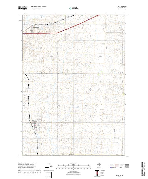 2022 Hills2022 Print · USGSSouthwestern Minnesota farming communities are captured in this recent survey of Rock County near the Iowa border. Genealogists can locate several family burial grounds such as Flowerfield Cem and Trinity Cem near the town of Steen.
 - 2022 Map of Ash Creek, 2022 Print
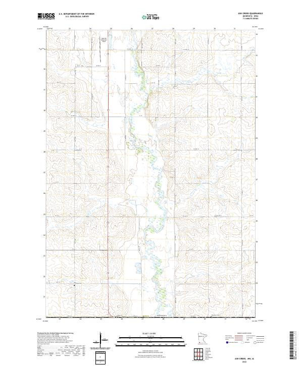 2022 Ash Creek2022 Print · USGSRock County's rural landscape is captured here in the early 2020s as it transitions toward the Iowa border. Family historians and researchers can locate Eastside Cem and Ebenezer Cem among the fields surrounding the Rock River.
 - 2022 Map of Lester, 2022 Print
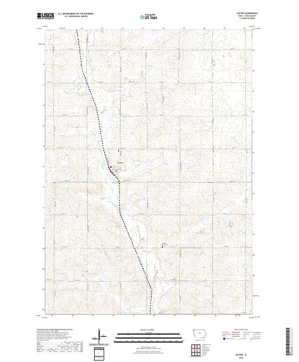 2022 Lester2022 Print · USGSLester and the surrounding Lyon County farmland are captured here in the early twenty-first century as the area maintains its deep agricultural roots. Genealogists and local historians can trace family plots at Hillside Cem and Apostolic Christian Cem or follow the course of Mud Cr.
 - 2022 Map of Rock Rapids, 2022 Print
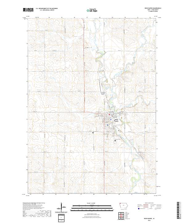 2022 Rock Rapids2022 Print · USGSRock Rapids and the surrounding Lyon County farmsteads are shown in detail as they appeared in the early 2020s. Local researchers can trace property layouts near Rock River or locate family sites at Riverview Cem and Holy Name Cem.
End of results
Showing maps 1-4 of 4
Top cities near Allison Township
- Luverne historical maps
- Rock Rapids historical maps
- Inwood historical maps
- Larchwood historical maps
- Valley Springs historical maps
- Doon historical maps
See more
Frequently asked questions
- What are the different types of historical maps available for Allison Township?
- What is the oldest map of Allison Township?
- Where can I purchase historical maps of Allison Township for my home or office?
- Where can I download high-res historical maps of Allison Township?
- Are there historical topographic maps available for Allison Township?
- Is there historical aerial imagery available for Allison Township?
- Where are historical maps of Allison Township sourced from?