Old Maps of Allison Township, Iowa for Hiking & Exploration
Hike through history with 28 historic maps of Allison Township. Explore old trails, ghost towns, and forgotten backroads — perfect for outdoor adventurers and local explorers.
- Rediscover forgotten places: Map out old mining camps, roads, and footpaths that no longer exist on modern maps.
- Layer with modern tools: Combine with LiDAR or satellite views to plan hikes through historical terrain.
- Made for exploration: Popular among hikers, overlanders, and local history lovers.
Use these maps to find adventure and explore the hidden past of Allison Township.
Allison Township, IA maps
(28)- 1955 Map of Sioux Falls, 1967 Print
 1955 Sioux Falls1967 Print · USGSThe eastern South Dakota and western Minnesota borderlands come alive in the mid-fifties, showing the vital rail-to-river connections of the era. Genealogists can trace family footprints across townships like Madison and Pipestone, while following the paths of the Big Sioux River and the Chicago and North Western line.3 unique versions available
 - 1958 Map of Sioux Falls
 1958 Sioux Falls1958 Print · USGSThe tri-state borderlands of South Dakota, Minnesota, and Iowa are captured here during the mid-century peak of the regional rail network. Genealogists and historians can trace local landmarks like Augustana Academy, the St Marys Cem, and the path of the Illinois Central through Rock Rapids.
 - 1967 Map of Hills, 1968 Print
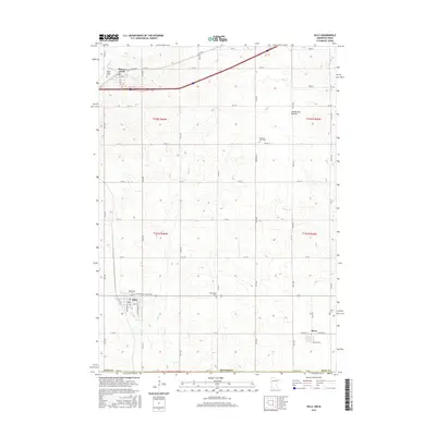
 1967 Hills1968 Print · USGSSouthwestern Rock County is shown here in the late sixties, a landscape where the Illinois Central and Chicago and North Western railroads defined the local economy. Researchers can trace historic property boundaries and locate community landmarks like Beaver Valley Cem and School No 1851.2 unique versions available
 - 1967 Map of Ash Creek, 1969 Print
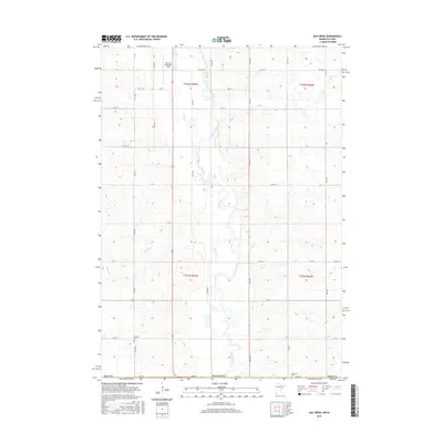
 1967 Ash Creek1969 Print · USGSSouthwestern Minnesota and northwestern Iowa meet here in the late sixties along the winding Rock River. Genealogists and local historians can trace family farmsteads and rural infrastructure, including School No 1839, Ebenezer Ch, and the tiny settlement of Ash Creek.2 unique versions available
 - 1971 Map of Lester, 1973 Print
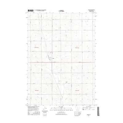
 1971 Lester1973 Print · USGSLester and the surrounding northwest Iowa townships are captured here in the early 1970s, as the railroad still dictated the local economy. Genealogists and researchers can locate family sites near Hillside Cem or trace the Burlington Northern line and Mud Creek.
 - 1971 Map of Rock Rapids, 1973 Print
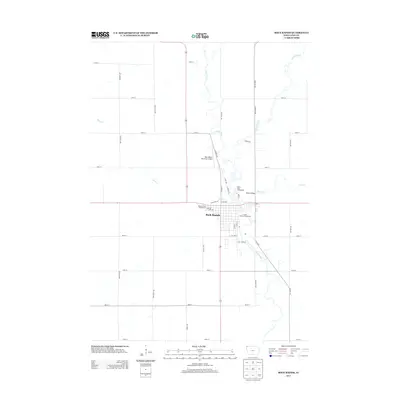
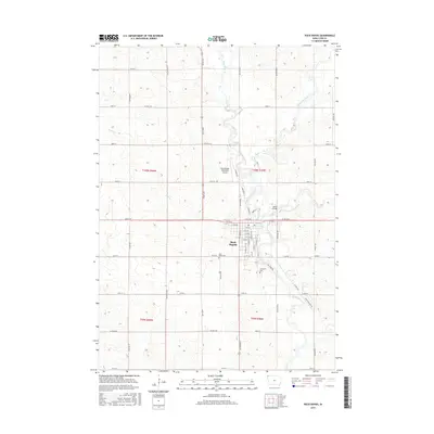
 1971 Rock Rapids1973 Print · USGSNorthwest Iowa near the Minnesota border appears here as a thriving rail and river hub in the early seventies. You can trace the path of the Chicago Rock Island and Pacific railroad through Rock Rapids and locate family landmarks like Holy Name Cem or the Christian Sch.
 - 1985 Map of Sioux Falls
 1985 Sioux Falls1985 Print · USGSIn the mid-1980s, the borderlands of South Dakota, Minnesota, and Iowa reveal a landscape shaped by the Big Sioux River and a growing urban hub. Researchers can trace the development of Sioux Falls and locate smaller communities like Dell Rapids, Garretson, and Valley Springs.2 unique versions available
 - 1985 Map of Rock Rapids
 1985 Rock Rapids1985 Print · USGSThe borderlands of South Dakota and Iowa come into focus in the mid-1980s, centered on the fertile valleys of the Big Sioux River. Genealogists and researchers can trace rural homesteads near Rock Rapids, find Dordt College in Sioux Center, or locate old burial sites like Grace Hill Cem.2 unique versions available
 - 2010 Map of Rock Rapids, 2010 Print
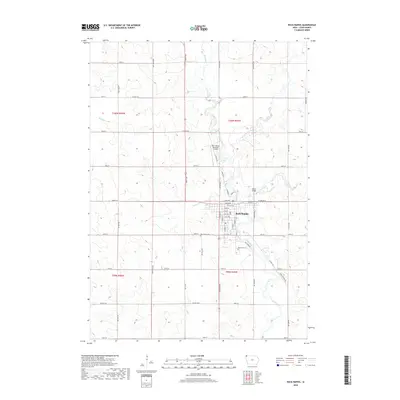
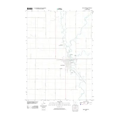 2010 Rock Rapids2010 Print · USGSCovers Allison Township, including Rock Rapids, Lyon County, and other nearby areas
 - 2010 Map of Lester, 2010 Print
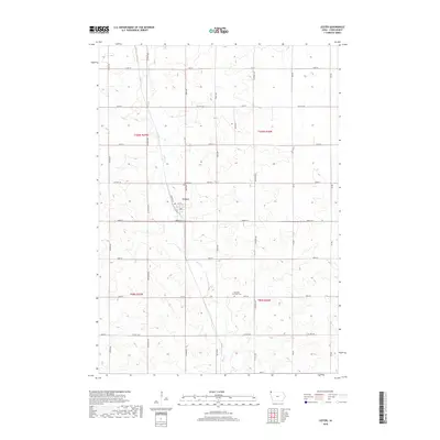
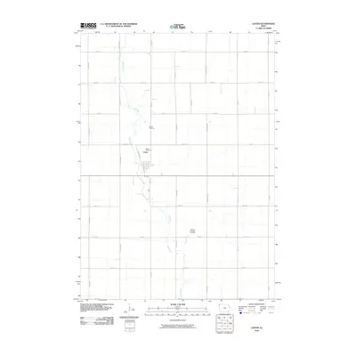 2010 Lester2010 Print · USGSCovers Allison Township, including Lester, Larchwood Township, and other nearby areas
 - 2010 Map of Ash Creek, 2010 Print
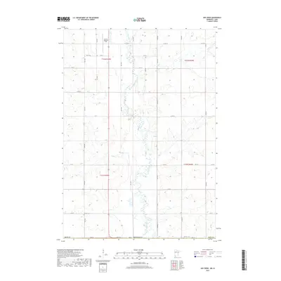
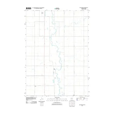 2010 Ash Creek2010 Print · USGSCovers Allison Township, including Ash Creek, Clinton Township, and other nearby areas
 - 2010 Map of Hills, 2010 Print
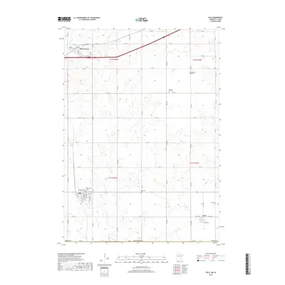
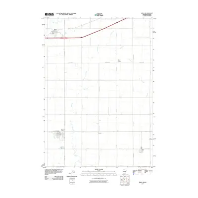 2010 Hills2010 Print · USGSCovers Allison Township, including Hills, Beaver Creek, and other nearby areas
 - 2013 Map of Rock Rapids, 2013 Print
 2013 Rock Rapids2013 Print · USGSCovers Allison Township, including Rock Rapids, Lyon County, and other nearby areas
 - 2013 Map of Lester, 2013 Print
 2013 Lester2013 Print · USGSCovers Allison Township, including Lester, Larchwood Township, and other nearby areas
 - 2013 Map of Ash Creek, 2013 Print
 2013 Ash Creek2013 Print · USGSCovers Allison Township, including Ash Creek, Clinton Township, and other nearby areas
 - 2013 Map of Hills, 2013 Print
 2013 Hills2013 Print · USGSCovers Allison Township, including Hills, Beaver Creek, and other nearby areas
 - 2015 Map of Rock Rapids, 2015 Print
 2015 Rock Rapids2015 Print · USGSCovers Allison Township, including Rock Rapids, Lyon County, and other nearby areas
 - 2015 Map of Lester, 2015 Print
 2015 Lester2015 Print · USGSCovers Allison Township, including Lester, Larchwood Township, and other nearby areas
 - 2016 Map of Ash Creek, 2016 Print
 2016 Ash Creek2016 Print · USGSCovers Allison Township, including Ash Creek, Clinton Township, and other nearby areas
 - 2016 Map of Hills, 2016 Print
 2016 Hills2016 Print · USGSCovers Allison Township, including Hills, Beaver Creek, and other nearby areas
 - 2018 Map of Rock Rapids, 2018 Print
 2018 Rock Rapids2018 Print · USGSCovers Allison Township, including Rock Rapids, Lyon County, and other nearby areas
 - 2018 Map of Lester, 2018 Print
 2018 Lester2018 Print · USGSCovers Allison Township, including Lester, Larchwood Township, and other nearby areas
 - 2019 Map of Ash Creek, 2019 Print
 2019 Ash Creek2019 Print · USGSCovers Allison Township, including Ash Creek, Clinton Township, and other nearby areas
 - 2019 Map of Hills, 2019 Print
 2019 Hills2019 Print · USGSCovers Allison Township, including Hills, Beaver Creek, and other nearby areas
 - 2022 Map of Hills, 2022 Print
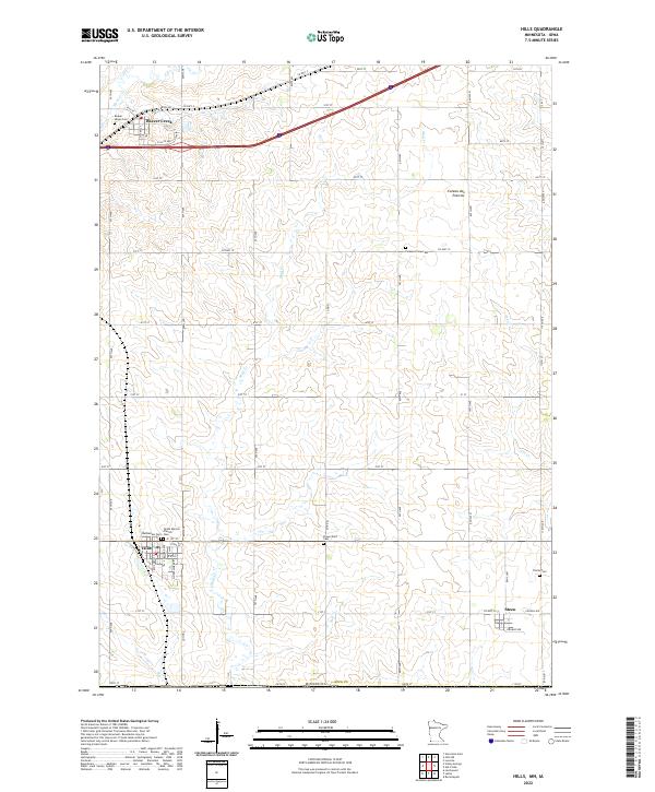 2022 Hills2022 Print · USGSSouthwestern Minnesota farming communities are captured in this recent survey of Rock County near the Iowa border. Genealogists can locate several family burial grounds such as Flowerfield Cem and Trinity Cem near the town of Steen.
Showing maps 1-25 of 28
Top cities near Allison Township
- Luverne historical maps
- Rock Rapids historical maps
- Inwood historical maps
- Larchwood historical maps
- Valley Springs historical maps
- Doon historical maps
See more
Frequently asked questions
- What are the different types of historical maps available for Allison Township?
- What is the oldest map of Allison Township?
- Where can I purchase historical maps of Allison Township for my home or office?
- Where can I download high-res historical maps of Allison Township?
- Are there historical topographic maps available for Allison Township?
- Is there historical aerial imagery available for Allison Township?
- Where are historical maps of Allison Township sourced from?