
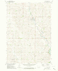
1971 Map of Rock Rapids
USGS Topo · Published 1973About this map
The Rock Rapids townsite serves as the hub of this early 1970s survey, situated just south of the Minnesota Iowa border at the confluence of the Rock River and Kanaranzi Creek. The landscape reflects a well-developed agricultural and transportation center, where the Chicago Rock Island and Pacific and the Illinois Central railroads intersect. Within the town grid, several civic institutions are documented, including the Central Lyon High Sch, Christian Sch, and the local Hospital.
Find a feature on this map
32 named features on this map. Tap any name to fly to it.
Don’t see what you’re looking for? This feature index may not catch every label — zoom into the map to look around manually.
Map Details
Editions of this 1971 Rock Rapids Map
This is the sole edition of this map. No revisions or reprints were ever made.
Other maps of this area

1955 · Sioux Falls
USGS Topo · 1:250,000

1958 · Sioux Falls
USGS Topo · 1:250,000

1967 · Hills
USGS Topo · 1:24,000

1967 · Ellsworth
USGS Topo · 1:24,000

1967 · Ash Creek
USGS Topo · 1:24,000

1971 · Edna
USGS Topo · 1:24,000

1971 · Lester
USGS Topo · 1:24,000

1971 · George West
USGS Topo · 1:24,000

1971 · Doon
USGS Topo · 1:24,000
1971 · Alvord
USGS Topo · 1:24,000