2000s (21st Century) Maps of St. Anthony, Iowa
Explore 10 historic maps of St. Anthony from the 2000s (21st Century). These maps offer a rare glimpse into what life looked like during the 2000s — showing old roads, neighborhoods, homes, and landmarks that have changed or disappeared over time.
Whether you're researching your family's past, planning a metal detecting trip, or studying how St. Anthony's landscape evolved across the 2000s, these high-resolution maps are a powerful tool for exploring the history of this region.
- Focus on a specific era: All maps on this page are from the 2000s, giving you a focused view of this time period.
- See what’s changed: Compare century-old streets, trails, and buildings to today's modern landscape using overlays and satellite layers.
- Research with precision: Use these maps for genealogy, historical research, land use analysis, or educational projects.
- View, download, or print: Maps are fully viewable online in high resolution, and can be downloaded or printed for your own records.
Start exploring St. Anthony's history through authentic maps from the 2000s. This is your window into the past.
St. Anthony, IA maps
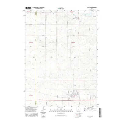
(10)- 2010 Map of State Center NW, 2010 Print
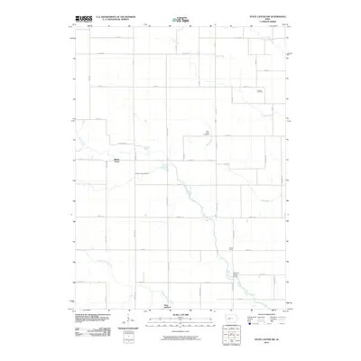 2010 State Center NW2010 Print · USGSCovers St. Anthony, including Lincoln Township, Liberty Township, and other nearby areas
 - 2010 Map of State Center, 2010 Print
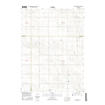
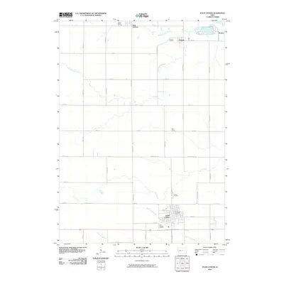 2010 State Center2010 Print · USGSCovers St. Anthony, including State Center, Clemons, and other nearby areas
 - 2013 Map of State Center NW, 2013 Print
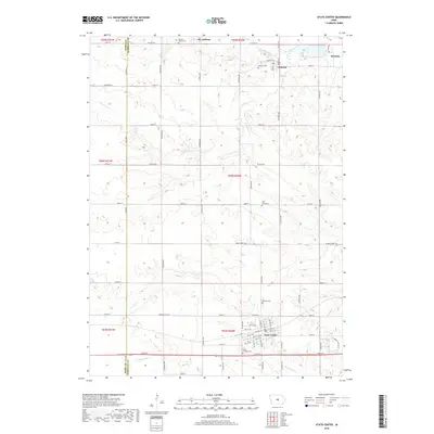
 2013 State Center NW2013 Print · USGSCovers St. Anthony, including Lincoln Township, Liberty Township, and other nearby areas
 - 2013 Map of State Center, 2013 Print
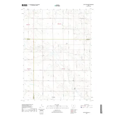
 2013 State Center2013 Print · USGSCovers St. Anthony, including State Center, Clemons, and other nearby areas
 - 2015 Map of State Center, 2015 Print
 2015 State Center2015 Print · USGSCovers St. Anthony, including State Center, Clemons, and other nearby areas
 - 2015 Map of State Center NW, 2015 Print
 2015 State Center NW2015 Print · USGSCovers St. Anthony, including Lincoln Township, Liberty Township, and other nearby areas
 - 2018 Map of State Center, 2018 Print
 2018 State Center2018 Print · USGSCovers St. Anthony, including State Center, Clemons, and other nearby areas
 - 2018 Map of State Center NW, 2018 Print
 2018 State Center NW2018 Print · USGSCovers St. Anthony, including Lincoln Township, Liberty Township, and other nearby areas
 - 2022 Map of State Center, 2022 Print
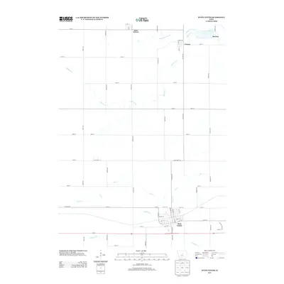
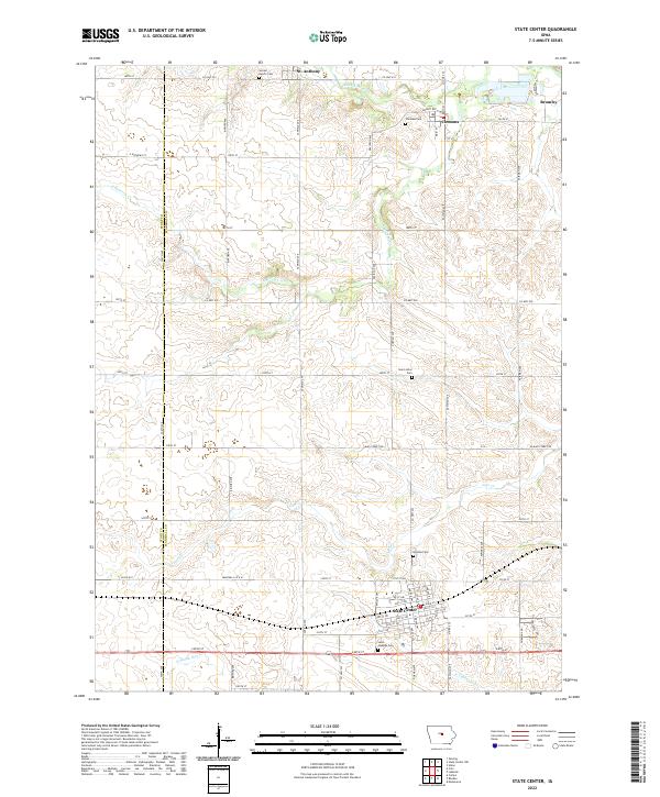 2022 State Center2022 Print · USGSCentral Iowa's agricultural heartland is mapped here in the modern era, showing the enduring grid of Marshall and Story counties. Genealogists can locate family plots at Sacred Hearts Cem or Hillside Cem and trace the paths of the N Skunk River and Linn Cr.
 - 2022 Map of State Center NW, 2022 Print
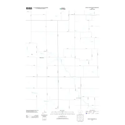
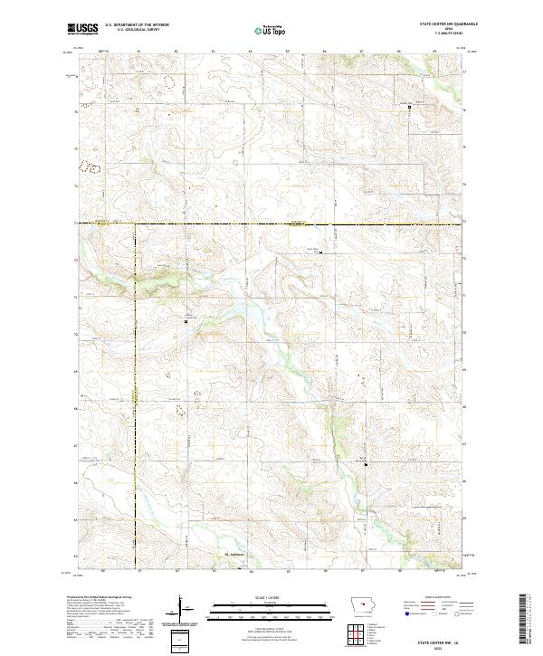 2022 State Center NW2022 Print · USGSThe intersection of Marshall, Story, and Hardin Counties comes alive in this contemporary survey of the Iowa heartland. Researchers can locate several historic burial sites like Saint Johns Cem and trace the paths of Minerva Creek and St. Anthony.
End of results
Showing maps 1-10 of 10
Top cities near St. Anthony
- Eldora historical maps
- State Center historical maps
- Hubbard historical maps
- Maxwell historical maps
- Colo historical maps
- Melbourne historical maps
See more
Top neighborhoods of St. Anthony
Frequently asked questions
- What are the different types of historical maps available for St. Anthony?
- What is the oldest map of St. Anthony?
- Where can I purchase historical maps of St. Anthony for my home or office?
- Where can I download high-res historical maps of St. Anthony?
- Are there historical topographic maps available for St. Anthony?
- Is there historical aerial imagery available for St. Anthony?
- Where are historical maps of St. Anthony sourced from?