Old Maps of Ayrshire, Iowa for Hiking & Exploration
Hike through history with 9 historic maps of Ayrshire. Explore old trails, ghost towns, and forgotten backroads — perfect for outdoor adventurers and local explorers.
- Rediscover forgotten places: Map out old mining camps, roads, and footpaths that no longer exist on modern maps.
- Layer with modern tools: Combine with LiDAR or satellite views to plan hikes through historical terrain.
- Made for exploration: Popular among hikers, overlanders, and local history lovers.
Use these maps to find adventure and explore the hidden past of Ayrshire.
Ayrshire, IA maps
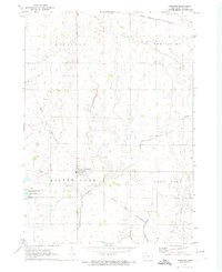
(9)- 1954 Map of Fairmont, 1967 Print
 1954 Fairmont1967 Print · USGSThe prairie landscape of southern Minnesota and northern Iowa comes alive in this mid-century survey of the Coteau des Prairies. Genealogists and historians can trace the rail-connected growth of Fairmont and Blue Earth or locate family roots near St Kilian Ch and Union Slough National Wildlife Refuge.3 unique versions available
 - 1958 Map of Fairmont
 1958 Fairmont1958 Print · USGSThe borderlands of southern Minnesota and northern Iowa come alive in the mid-1950s, showing a landscape defined by glacial lakes and rail-line commerce. Researchers can trace historic landmarks like Lakeside Laboratory, Gridley Station, and the Bancroft Wildlife Refuge across the prairie.
 - 1972 Map of Ayrshire, 1974 Print
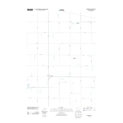
 1972 Ayrshire1974 Print · USGSIn the early seventies, the Palo Alto County landscape around Ayrshire was defined by its dual rail lines and vast drainage networks. Researchers can trace the path of the Chicago and North Western or locate the Silver Lake Cem near the shores of Silver Lake.
 - 1985 Map of Estherville
 1985 Estherville1985 Print · USGSNorthern Iowa in the mid-eighties was a landscape of grid-patterned agriculture and vast marshland conservation. Genealogists can locate rural landmarks like Oak Hill Cemetery and Fourmile Lake School, or trace the rail lines of the Chicago and North Western.2 unique versions available
 - 2010 Map of Ayrshire, 2010 Print
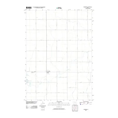 2010 Ayrshire2010 Print · USGSCovers Ayrshire, including Palo Alto County, United States, and other nearby areas
 - 2013 Map of Ayrshire, 2013 Print
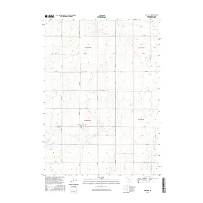
 2013 Ayrshire2013 Print · USGSCovers Ayrshire, including Palo Alto County, United States, and other nearby areas
 - 2015 Map of Ayrshire, 2015 Print
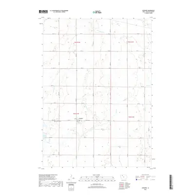
 2015 Ayrshire2015 Print · USGSCovers Ayrshire, including Palo Alto County, United States, and other nearby areas
 - 2018 Map of Ayrshire, 2018 Print
 2018 Ayrshire2018 Print · USGSCovers Ayrshire, including Palo Alto County, United States, and other nearby areas
 - 2022 Map of Ayrshire, 2022 Print
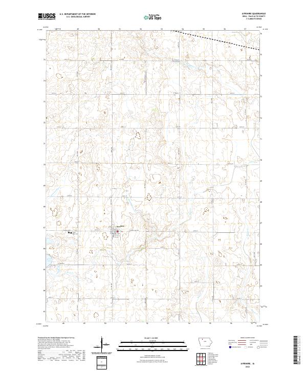 2022 Ayrshire2022 Print · USGSAyrshire and the surrounding Palo Alto County farmland are shown here in the early twenty-first century, structured by an extensive network of prairie drainage ditches. Researchers can locate Ayrshire at the junction of Silver Lake Ave, near Silver Lake Cem and the shores of Silver Lake.
End of results
Showing maps 1-9 of 9
Top cities near Ayrshire
- Emmetsburg historical maps
- Laurens historical maps
- Graettinger historical maps
- Ruthven historical maps
- Mallard historical maps
- Marathon historical maps
See more
Frequently asked questions
- What are the different types of historical maps available for Ayrshire?
- What is the oldest map of Ayrshire?
- Where can I purchase historical maps of Ayrshire for my home or office?
- Where can I download high-res historical maps of Ayrshire?
- Are there historical topographic maps available for Ayrshire?
- Is there historical aerial imagery available for Ayrshire?
- Where are historical maps of Ayrshire sourced from?