2000s (21st Century) Maps of Crescent, Iowa
Explore 14 historic maps of Crescent from the 2000s (21st Century). These maps offer a rare glimpse into what life looked like during the 2000s — showing old roads, neighborhoods, homes, and landmarks that have changed or disappeared over time.
Whether you're researching your family's past, planning a metal detecting trip, or studying how Crescent's landscape evolved across the 2000s, these high-resolution maps are a powerful tool for exploring the history of this region.
- Focus on a specific era: All maps on this page are from the 2000s, giving you a focused view of this time period.
- See what’s changed: Compare century-old streets, trails, and buildings to today's modern landscape using overlays and satellite layers.
- Research with precision: Use these maps for genealogy, historical research, land use analysis, or educational projects.
- View, download, or print: Maps are fully viewable online in high resolution, and can be downloaded or printed for your own records.
Start exploring Crescent's history through authentic maps from the 2000s. This is your window into the past.
Crescent, IA maps
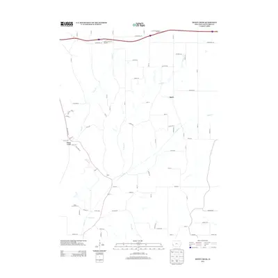
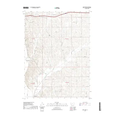
(14)- 2010 Map of Honey Creek, 2010 Print
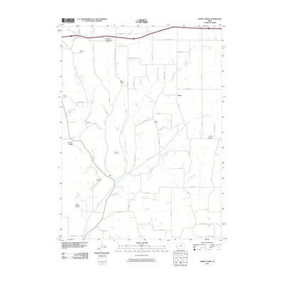 2010 Honey Creek2010 Print · USGSCovers Crescent, including Honey Creek, Pigeon, and other nearby areas
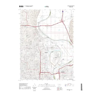
 - 2010 Map of Council Bluffs North, 2010 Print
 2010 Council Bluffs North2010 Print · USGSCovers Crescent, including Omaha, Council Bluffs, and other nearby areas
 - 2011 Map of Omaha North, 2011 Print
 2011 Omaha North2011 Print · USGSCovers Crescent, including Omaha, Council Bluffs, and other nearby areas
 - 2013 Map of Council Bluffs North, 2013 Print
 2013 Council Bluffs North2013 Print · USGSCovers Crescent, including Omaha, Council Bluffs, and other nearby areas
 - 2013 Map of Honey Creek, 2013 Print
 2013 Honey Creek2013 Print · USGSCovers Crescent, including Honey Creek, Pigeon, and other nearby areas
 - 2014 Map of Omaha North, 2014 Print
 2014 Omaha North2014 Print · USGSCovers Crescent, including Omaha, Council Bluffs, and other nearby areas
 - 2015 Map of Honey Creek, 2015 Print
 2015 Honey Creek2015 Print · USGSCovers Crescent, including Honey Creek, Pigeon, and other nearby areas
 - 2015 Map of Council Bluffs North, 2015 Print
 2015 Council Bluffs North2015 Print · USGSCovers Crescent, including Omaha, Council Bluffs, and other nearby areas
 - 2017 Map of Omaha North, 2017 Print
 2017 Omaha North2017 Print · USGSCovers Crescent, including Omaha, Council Bluffs, and other nearby areas
 - 2018 Map of Honey Creek, 2018 Print
 2018 Honey Creek2018 Print · USGSCovers Crescent, including Honey Creek, Pigeon, and other nearby areas
 - 2018 Map of Council Bluffs North, 2018 Print
 2018 Council Bluffs North2018 Print · USGSCovers Crescent, including Omaha, Council Bluffs, and other nearby areas
 - 2021 Map of Omaha North, 2021 Print
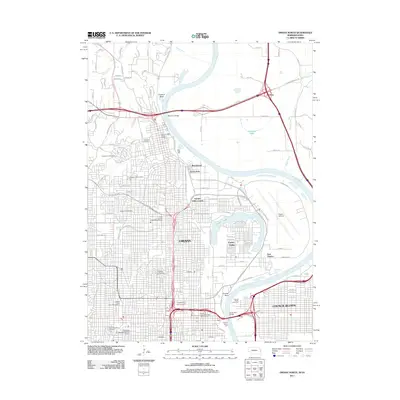
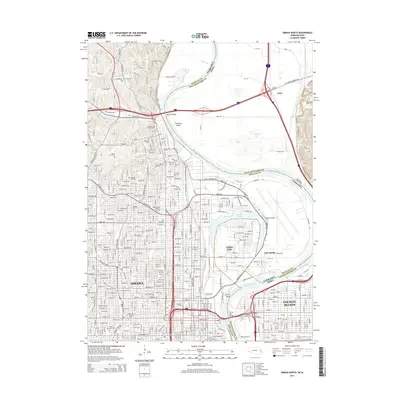
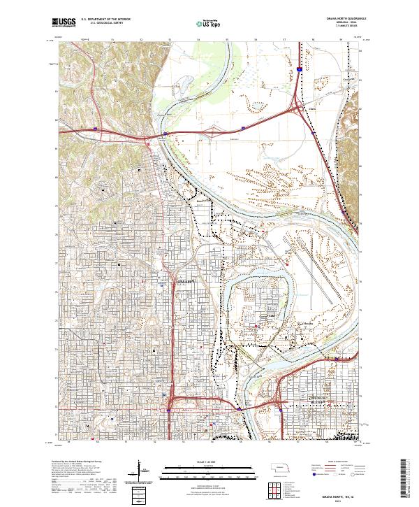 2021 Omaha North2021 Print · USGSOmaha and Council Bluffs stand on opposite banks of the Missouri River in this recent survey of these historic Missouri Valley hubs. Researchers can trace urban development and family history through numerous landmarks like Prospect Hill Cem, Creighton University, and Eppley Airfield.
 - 2022 Map of Honey Creek, 2022 Print
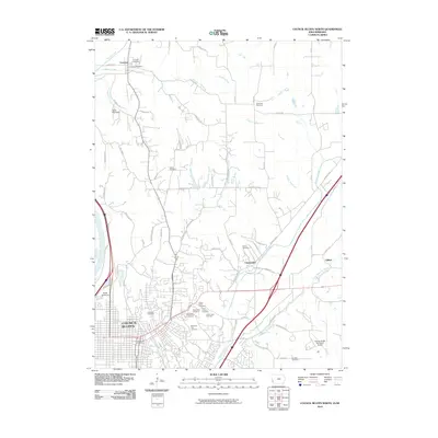
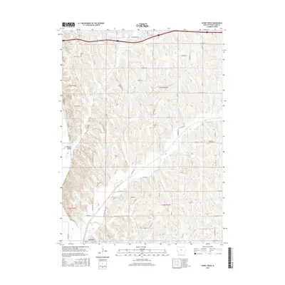
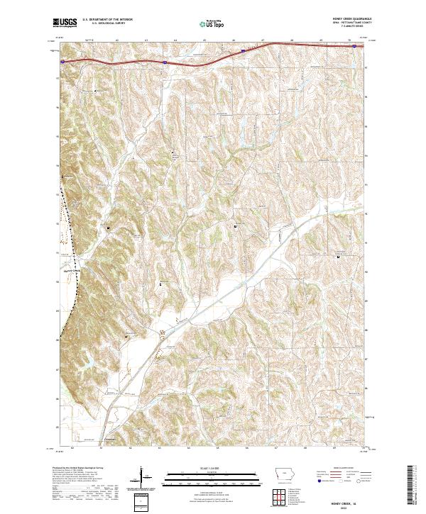 2022 Honey Creek2022 Print · USGSIn the bluffs of western Iowa, this recent survey shows the enduring settlement patterns around Honey Creek and Crescent. Genealogists can trace local history through numerous sites like Allen Cem, Grange Cem, and McIntosh Cem along the Old Lincoln Hwy.
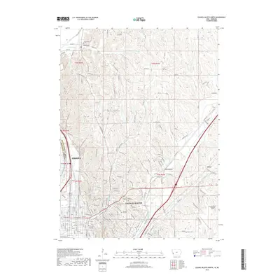
 - 2022 Map of Council Bluffs North, 2022 Print
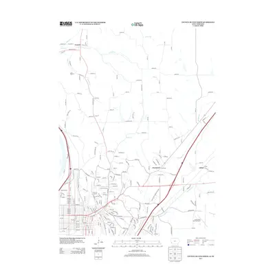
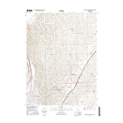
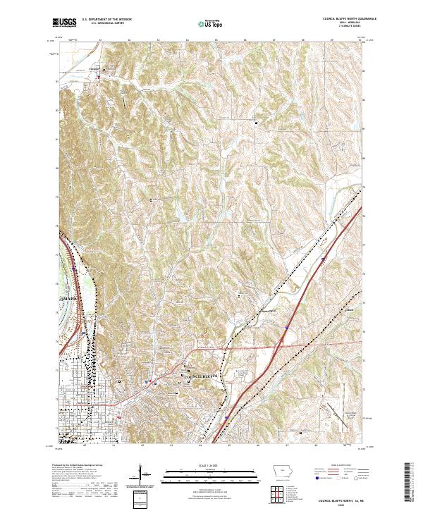 2022 Council Bluffs North2022 Print · USGSThe loess hills and river valleys north of Council Bluffs are captured here in recent years, showing the blend of urban expansion and historic rural settlements. Genealogists can locate numerous burial sites like Fairview Cem and Hazel Dell Cem or trace the original route of the Old Lincoln Hwy.
End of results
Showing maps 1-14 of 14
Top cities near Crescent
- Omaha historical maps
- Council Bluffs historical maps
- Bellevue historical maps
- Papillion historical maps
- La Vista historical maps
- Ralston historical maps
See more
Frequently asked questions
- What are the different types of historical maps available for Crescent?
- What is the oldest map of Crescent?
- Where can I purchase historical maps of Crescent for my home or office?
- Where can I download high-res historical maps of Crescent?
- Are there historical topographic maps available for Crescent?
- Is there historical aerial imagery available for Crescent?
- Where are historical maps of Crescent sourced from?