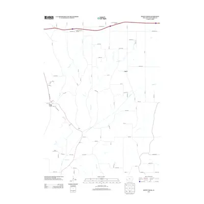
2013 Map of Honey Creek
USGS Topo · Published 2013About this map
Pigeon and the small settlement of Honey Creek anchor this section of Pottawattamie County, characterized by the convergence of several waterways into the Missouri River floodplain. The landscape is defined by the winding paths of Pigeon Creek and its northern branch, alongside Honey Creek and Simon Run. This survey highlights the modern infrastructure of the early 2010s, including the Loveland East Bound Rest Area and its westbound counterpart along the interstate corridor. For those interested in local recreation and transportation history, the presence of the Mount Crescent Ski Area contrasts with the alignment of the Old Lincoln Highway, reflecting how historical travel routes and modern leisure destinations coexist in this part of Iowa. The map also records smaller junctions like Reels and a network of county roads named for trees and minerals, such as Pinoak Road and Sapphire Lane.
Find a feature on this map
62 named features on this map. Tap any name to fly to it.
Don’t see what you’re looking for? This feature index may not catch every label — zoom into the map to look around manually.
Map Details
Editions of this 2013 Honey Creek Map
This is the sole edition of this map. No revisions or reprints were ever made.
Other maps of this area

1893 · Omaha
USGS Topo · 1:62,500

1954 · Omaha
USGS Topo · 1:250,000

1956 · Underwood
USGS Topo · 1:24,000

1956 · Council Bluffs North
USGS Topo · 1:24,000

1956 · Omaha North
USGS Topo · 1:24,000

1956 · Mc Clelland
USGS Topo · 1:24,000

1957 · Omaha
USGS Topo · 1:250,000

1957 · Loveland
USGS Topo · 1:24,000

1957 · Honey Creek
USGS Topo · 1:24,000

1958 · Omaha
USGS Topo · 1:250,000