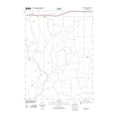
2010 Map of Honey Creek
USGS Topo · Published 2010About this map
Pigeon and the settlement of Reels anchor this 2010 topographic record of Pottawattamie County, Iowa. The landscape is defined by the drainage systems of Honey Creek, Pigeon Creek, and North Pigeon Creek, which carve through the loess hills of the Missouri River valley. The area is notable for its high density of family and community burial grounds, including the Branson Cemetery, Saint Bridgett Cemetery, and Reels Cemetery, providing a wealth of information for those tracing regional genealogy. At the southern end of the quadrangle, the terrain drops toward the Missouri River floodplain near the Mount Crescent Ski Area, a rare example of recreational topography in the region. The map also captures modern infrastructure, such as the Loveland East Bound Rest Area and a dense grid of rural roads like Whippoorwill Rd and Ski Hill Loop.
Find a feature on this map
51 named features on this map. Tap any name to fly to it.
Don’t see what you’re looking for? This feature index may not catch every label — zoom into the map to look around manually.
Map Details
Editions of this 2010 Honey Creek Map
This is the sole edition of this map. No revisions or reprints were ever made.
Other maps of this area

1893 · Omaha
USGS Topo · 1:62,500

1954 · Omaha
USGS Topo · 1:250,000

1956 · Underwood
USGS Topo · 1:24,000

1956 · Council Bluffs North
USGS Topo · 1:24,000

1956 · Omaha North
USGS Topo · 1:24,000

1956 · Mc Clelland
USGS Topo · 1:24,000

1957 · Omaha
USGS Topo · 1:250,000

1957 · Loveland
USGS Topo · 1:24,000

1957 · Honey Creek
USGS Topo · 1:24,000

1958 · Omaha
USGS Topo · 1:250,000