2000s (21st Century) Maps of Walnut, Iowa
Explore 10 historic maps of Walnut from the 2000s (21st Century). These maps offer a rare glimpse into what life looked like during the 2000s — showing old roads, neighborhoods, homes, and landmarks that have changed or disappeared over time.
Whether you're researching your family's past, planning a metal detecting trip, or studying how Walnut's landscape evolved across the 2000s, these high-resolution maps are a powerful tool for exploring the history of this region.
- Focus on a specific era: All maps on this page are from the 2000s, giving you a focused view of this time period.
- See what’s changed: Compare century-old streets, trails, and buildings to today's modern landscape using overlays and satellite layers.
- Research with precision: Use these maps for genealogy, historical research, land use analysis, or educational projects.
- View, download, or print: Maps are fully viewable online in high resolution, and can be downloaded or printed for your own records.
Start exploring Walnut's history through authentic maps from the 2000s. This is your window into the past.
Walnut, IA maps
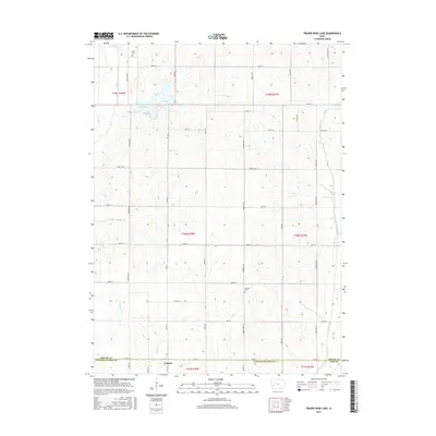
(10)- 2010 Map of Prairie Rose Lake, 2010 Print
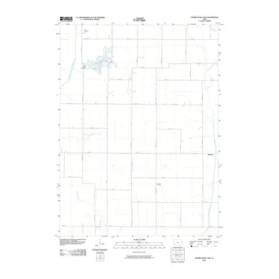 2010 Prairie Rose Lake2010 Print · USGSCovers Walnut, including Rorbeck, Pottawattamie County, and other nearby areas
 - 2010 Map of Walnut, 2010 Print
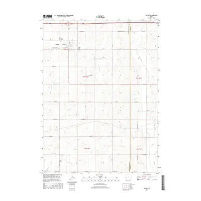
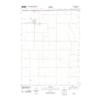 2010 Walnut2010 Print · USGSCovers Walnut, including Pottawattamie County, Cass County, and other nearby areas
 - 2013 Map of Walnut, 2013 Print
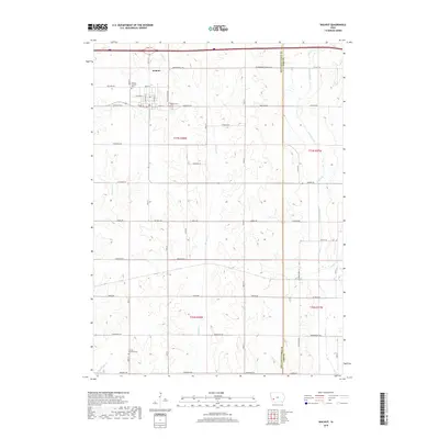
 2013 Walnut2013 Print · USGSCovers Walnut, including Pottawattamie County, Cass County, and other nearby areas
 - 2013 Map of Prairie Rose Lake, 2013 Print
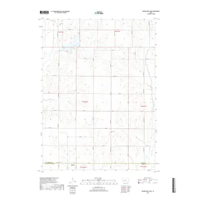
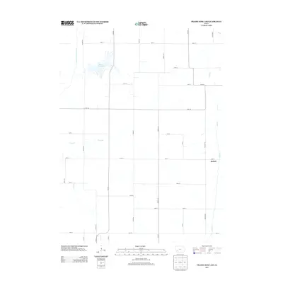 2013 Prairie Rose Lake2013 Print · USGSCovers Walnut, including Rorbeck, Pottawattamie County, and other nearby areas
 - 2015 Map of Prairie Rose Lake, 2015 Print
 2015 Prairie Rose Lake2015 Print · USGSCovers Walnut, including Rorbeck, Pottawattamie County, and other nearby areas
 - 2015 Map of Walnut, 2015 Print
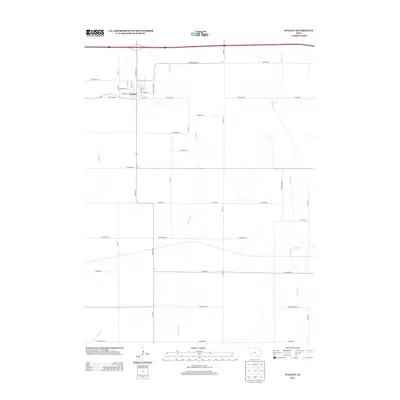
 2015 Walnut2015 Print · USGSCovers Walnut, including Pottawattamie County, Cass County, and other nearby areas
 - 2018 Map of Walnut, 2018 Print
 2018 Walnut2018 Print · USGSCovers Walnut, including Pottawattamie County, Cass County, and other nearby areas
 - 2018 Map of Prairie Rose Lake, 2018 Print
 2018 Prairie Rose Lake2018 Print · USGSCovers Walnut, including Rorbeck, Pottawattamie County, and other nearby areas
 - 2022 Map of Walnut, 2022 Print
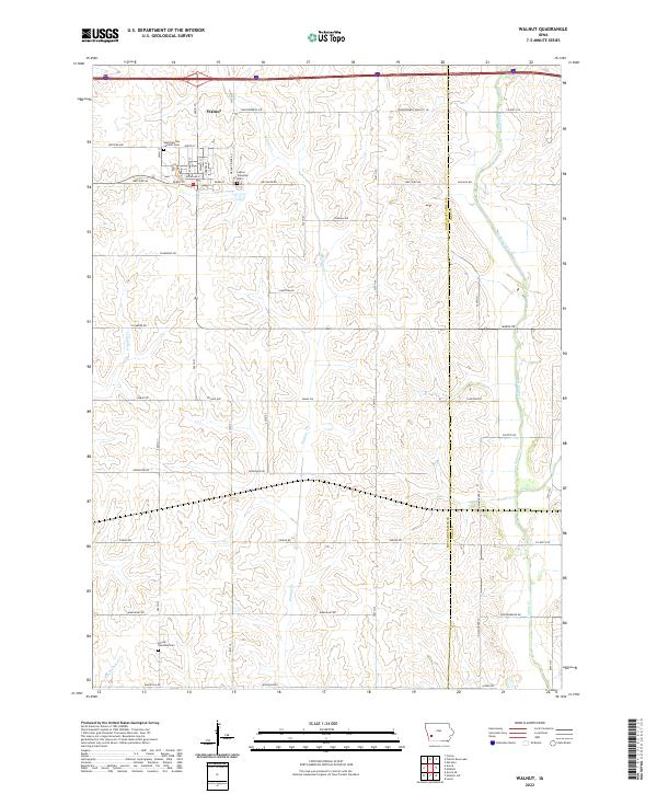 2022 Walnut2022 Print · USGSThe community of Walnut and its surrounding prairie townships are captured here in the early 2020s. Researchers can locate local landmarks like the Saint Patricks Catholic Cem and follow the paths of Walnut Cr and Indian Cr across the county line.
 - 2023 Map of Prairie Rose Lake, 2023 Print
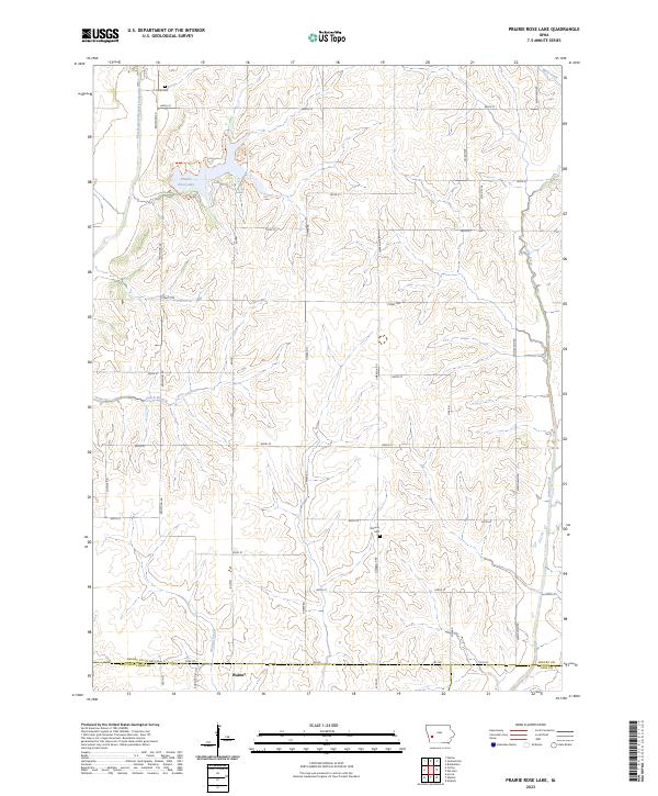 2023 Prairie Rose Lake2023 Print · USGSThis part of Shelby County in the early twenty-first century showcases a landscape defined by the expansive Prairie Rose Lake and the town of Walnut. Genealogists and local historians can trace burial sites like Folck Cem and Monroe Cem or explore the drainage of Indian Creek.
End of results
Showing maps 1-10 of 10
Top cities near Walnut
- Atlantic historical maps
- Harlan historical maps
- Avoca historical maps
- Oakland historical maps
- Shelby historical maps
- Elk Horn historical maps
See more
Frequently asked questions
- What are the different types of historical maps available for Walnut?
- What is the oldest map of Walnut?
- Where can I purchase historical maps of Walnut for my home or office?
- Where can I download high-res historical maps of Walnut?
- Are there historical topographic maps available for Walnut?
- Is there historical aerial imagery available for Walnut?
- Where are historical maps of Walnut sourced from?