Old Maps of Walnut, Iowa for Metal Detecting
Plan your next treasure hunt with 17 historic maps of Walnut. Find old homesites, ghost towns, trails, and gathering spots that may be lost to time — perfect for identifying promising metal detecting locations.
- Locate forgotten sites: Uncover places like long-lost settlements, abandoned rail lines, or gathering spots.
- Plan better hunts: Use map overlays combined with LiDAR or satellite views to narrow in on historically rich areas.
- Made for detectorists: Thousands of hobbyists use these maps to discover relics, coins, and hidden history.
Use these historic maps to boost your research and find new opportunities beneath the surface of Walnut.
Walnut, IA maps
(17)- 1954 Map of Omaha, 1967 Print
 1954 Omaha1967 Print · USGSMid-century development radiates from the river bluffs into the agricultural heartland during this period of post-war growth. Genealogists and historians can trace rail-connected towns like Atlantic and Red Oak or locate the sprawling grounds of Offutt Air Force Base and Manawa Lake.3 unique versions available
 - 1957 Map of Omaha
 1957 Omaha1957 Print · USGSWestern Iowa and the Missouri River valley are seen here in the mid-fifties during the height of the rail-and-road era. Researchers can trace the sprawling rail lines of the Chicago And North Western or locate Cold War landmarks like Offutt Air Force Base.
 - 1958 Map of Omaha
 1958 Omaha1958 Print · USGSOmaha and Council Bluffs stand at the center of this mid-fifties landscape, where the Missouri River splits the urban plains of Nebraska from the rolling hills of western Iowa. Genealogists can trace the rail lines of the Wabash RR and Illinois Central RR to rural settlements like Missouri Valley and Red Oak.2 unique versions available
 - 1971 Map of Walnut, 1973 Print
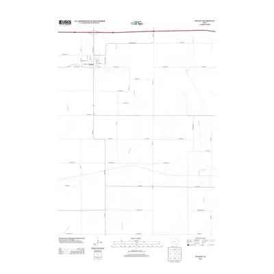
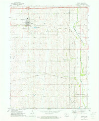 1971 Walnut1973 Print · USGSWalnut and its surrounding townships are shown here during a period of transition in the early 1970s. Researchers can trace the local rail economy along the Chicago Rock Island and Pacific Railroad and locate burial sites like Township Cem.
 - 1978 Map of Prairie Rose Lake
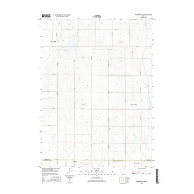
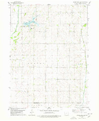 1978 Prairie Rose Lake1978 Print · USGSShelby County's rural landscape is captured here in the late seventies, centered on the newly established recreation area at Prairie Rose Lake. Genealogists and local historians can locate community landmarks like Monroe Ch, the settlement of Christensen, and the Townhall.
 - 1980 Map of Harlan
 1980 Harlan1980 Print · USGSWestern Iowa and the Nebraska borderlands are shown in the early eighties as a vital corridor of rail and river commerce. Genealogists and local historians can trace family roots through old rural crossroads like Beebeetown and Westphalia, or locate landmarks like Rose Hill Cem.
 - 1985 Map of Omaha
 1985 Omaha1985 Print · USGSMid-century development and heavy rail infrastructure define the Missouri River corridor between Nebraska and Iowa. Genealogists and local historians can trace the footprints of Offutt Air Force Base, Forest Lawn Cemetery, and the Iowa School for the Deaf.2 unique versions available
 - 2010 Map of Prairie Rose Lake, 2010 Print
 2010 Prairie Rose Lake2010 Print · USGSCovers Walnut, including Rorbeck, Pottawattamie County, and other nearby areas
 - 2010 Map of Walnut, 2010 Print
 2010 Walnut2010 Print · USGSCovers Walnut, including Pottawattamie County, Cass County, and other nearby areas
 - 2013 Map of Walnut, 2013 Print
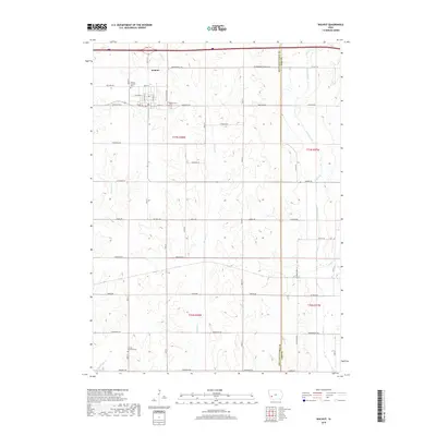
 2013 Walnut2013 Print · USGSCovers Walnut, including Pottawattamie County, Cass County, and other nearby areas
 - 2013 Map of Prairie Rose Lake, 2013 Print
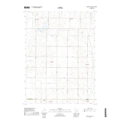
 2013 Prairie Rose Lake2013 Print · USGSCovers Walnut, including Rorbeck, Pottawattamie County, and other nearby areas
 - 2015 Map of Prairie Rose Lake, 2015 Print
 2015 Prairie Rose Lake2015 Print · USGSCovers Walnut, including Rorbeck, Pottawattamie County, and other nearby areas
 - 2015 Map of Walnut, 2015 Print
 2015 Walnut2015 Print · USGSCovers Walnut, including Pottawattamie County, Cass County, and other nearby areas
 - 2018 Map of Walnut, 2018 Print
 2018 Walnut2018 Print · USGSCovers Walnut, including Pottawattamie County, Cass County, and other nearby areas
 - 2018 Map of Prairie Rose Lake, 2018 Print
 2018 Prairie Rose Lake2018 Print · USGSCovers Walnut, including Rorbeck, Pottawattamie County, and other nearby areas
 - 2022 Map of Walnut, 2022 Print
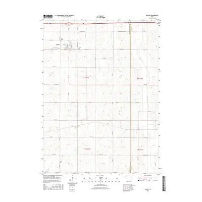
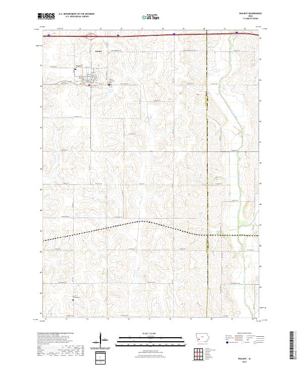 2022 Walnut2022 Print · USGSThe community of Walnut and its surrounding prairie townships are captured here in the early 2020s. Researchers can locate local landmarks like the Saint Patricks Catholic Cem and follow the paths of Walnut Cr and Indian Cr across the county line.
 - 2023 Map of Prairie Rose Lake, 2023 Print
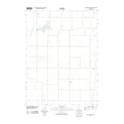
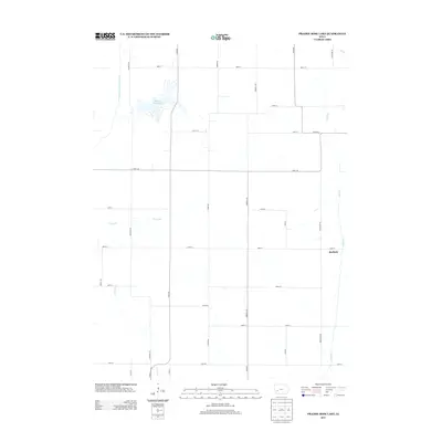
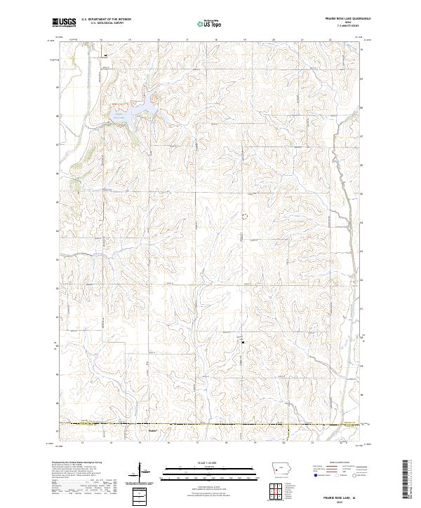 2023 Prairie Rose Lake2023 Print · USGSThis part of Shelby County in the early twenty-first century showcases a landscape defined by the expansive Prairie Rose Lake and the town of Walnut. Genealogists and local historians can trace burial sites like Folck Cem and Monroe Cem or explore the drainage of Indian Creek.
End of results
Showing maps 1-17 of 17
Top cities near Walnut
- Atlantic historical maps
- Harlan historical maps
- Avoca historical maps
- Oakland historical maps
- Shelby historical maps
- Elk Horn historical maps
See more
Frequently asked questions
- What are the different types of historical maps available for Walnut?
- What is the oldest map of Walnut?
- Where can I purchase historical maps of Walnut for my home or office?
- Where can I download high-res historical maps of Walnut?
- Are there historical topographic maps available for Walnut?
- Is there historical aerial imagery available for Walnut?
- Where are historical maps of Walnut sourced from?