Old Maps of Sac County, Iowa for Academic Research
Study the evolution of Sac County with 29 high-resolution historic maps. Whether you're teaching, researching, or modeling changes in land use, these maps provide essential visual documentation of urban, environmental, and geographic change.
- Analyze long-term change: Track patterns in development, transportation, and natural features.
- Ideal for environmental or urban studies: Support academic projects with primary historical map data.
- Use in the classroom or lab: Educators and researchers rely on these maps to bring historical context to life.
These maps are a powerful tool for teaching, research, and visualizing how Sac County has changed over the decades.
Sac County, IA maps
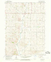
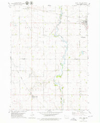
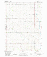
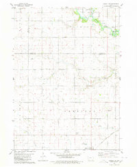
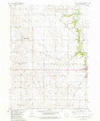
(29)- 1954 Map of Fort Dodge, 1968 Print
 1954 Fort Dodge1968 Print · USGSCovers Sac County, including Fort Dodge, Storm Lake, and other nearby areas3 unique versions available
 - 1957 Map of Fort Dodge
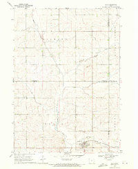
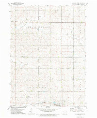
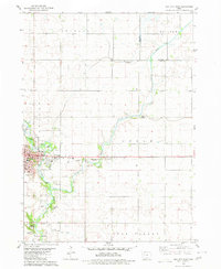
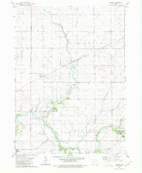
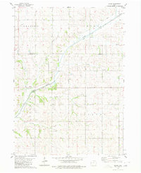
 1957 Fort Dodge1957 Print · USGSCovers Sac County, including Fort Dodge, Storm Lake, and other nearby areas
 - 1958 Map of Fort Dodge
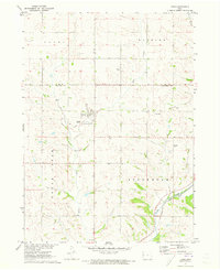
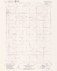
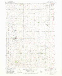
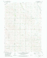
 1958 Fort Dodge1958 Print · USGSCovers Sac County, including Fort Dodge, Storm Lake, and other nearby areas
 - 1967 Map of Ida Grove NW, 1968 Print
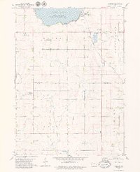
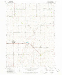
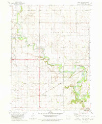
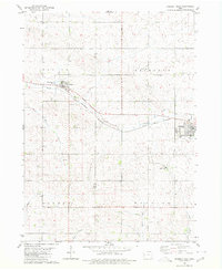
 1967 Ida Grove NW1968 Print · USGSCovers Sac County, including Ida County, United States, and other nearby areas
 - 1969 Map of Galva, 1971 Print
 1969 Galva1971 Print · USGSCovers Sac County, including Galva, Buena Vista County, and other nearby areas
 - 1971 Map of Kiron, 1973 Print
 1971 Kiron1973 Print · USGSCovers Sac County, including Kiron, Crawford County, and other nearby areas
 - 1979 Map of Lakeside
 1979 Lakeside1979 Print · USGSCovers Sac County, including Storm Lake, Lakeside, and other nearby areas
 - 1979 Map of Newell West
 1979 Newell West1979 Print · USGSCovers Sac County, including Newell, Nemaha, and other nearby areas
 - 1979 Map of Schaller North
 1979 Schaller North1979 Print · USGSCovers Sac County, including Schaller, Hanover, and other nearby areas
 - 1979 Map of Newell East
 1979 Newell East1979 Print · USGSCovers Sac County, including Newell, Buena Vista County, and other nearby areas
 - 1980 Map of Lytton
 1980 Lytton1980 Print · USGSCovers Sac County, including Lytton, Calhoun County, and other nearby areas
 - 1980 Map of Odebolt East
 1980 Odebolt East1980 Print · USGSCovers Sac County, including Odebolt, United States, and other nearby areas
 - 1980 Map of Sac City East
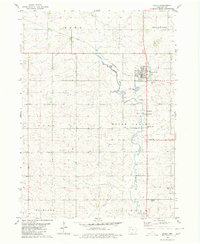
 1980 Sac City East1980 Print · USGSCovers Sac County, including Sac City, Calhoun County, and other nearby areas
 - 1980 Map of Breda
 1980 Breda1980 Print · USGSCovers Sac County, including Breda, Auburn, and other nearby areas
 - 1980 Map of Grant City
 1980 Grant City1980 Print · USGSCovers Sac County, including Auburn, Ulmer, and other nearby areas
 - 1980 Map of Carroll NE
 1980 Carroll NE1980 Print · USGSCovers Sac County, including Auburn, Lidderdale, and other nearby areas
 - 1980 Map of Yetter
 1980 Yetter1980 Print · USGSCovers Sac County, including Lake City, Auburn, and other nearby areas
 - 1980 Map of Early
 1980 Early1980 Print · USGSCovers Sac County, including Early, United States, and other nearby areas
 - 1980 Map of Lake View
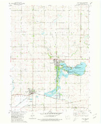 1980 Lake View1980 Print · USGSCovers Sac County, including Lake View, Wall Lake, and other nearby areas
 - 1980 Map of Sac City West
 1980 Sac City West1980 Print · USGSCovers Sac County, including Sac City, United States, and other nearby areas
 - 1980 Map of Boyer
 1980 Boyer1980 Print · USGSCovers Sac County, including Boyer, Boyer River, and other nearby areas
 - 1980 Map of Vail NE
 1980 Vail NE1980 Print · USGSCovers Sac County, including Carroll County, Crawford County, and other nearby areas
 - 1980 Map of Odebolt West
 1980 Odebolt West1980 Print · USGSCovers Sac County, including Odebolt, Arthur, and other nearby areas
 - 1980 Map of Schaller South
 1980 Schaller South1980 Print · USGSCovers Sac County, including Schaller, Brook Mount, and other nearby areas
 - 1984 Map of Humboldt, 1985 Print
 1984 Humboldt1985 Print · USGSCovers Sac County, including Fort Dodge, Humboldt, and other nearby areas2 unique versions available
Showing maps 1-25 of 29
Top cities of Sac County
- Sac City historical maps
- Lake View historical maps
- Odebolt historical maps
- Wall Lake historical maps
- Schaller historical maps
- Early historical maps
See more
Frequently asked questions
- What are the different types of historical maps available for Sac County?
- What is the oldest map of Sac County?
- Where can I purchase historical maps of Sac County for my home or office?
- Where can I download high-res historical maps of Sac County?
- Are there historical topographic maps available for Sac County?
- Is there historical aerial imagery available for Sac County?
- Where are historical maps of Sac County sourced from?