Old Maps of Palmyra Township, Iowa for Metal Detecting
Plan your next treasure hunt with 19 historic maps of Palmyra Township. Find old homesites, ghost towns, trails, and gathering spots that may be lost to time — perfect for identifying promising metal detecting locations.
- Locate forgotten sites: Uncover places like long-lost settlements, abandoned rail lines, or gathering spots.
- Plan better hunts: Use map overlays combined with LiDAR or satellite views to narrow in on historically rich areas.
- Made for detectorists: Thousands of hobbyists use these maps to discover relics, coins, and hidden history.
Use these historic maps to boost your research and find new opportunities beneath the surface of Palmyra Township.
Palmyra Township, IA maps
(19)- 1910 Map of Milo
 1910 Milo1910 Print · USGSWarren and Marion counties are captured here at the height of their early 20th-century rural development, before the modernization of the road network. Genealogists can trace family footprints through numerous country schools like Prairie Creek School and the river-crossing at Hammondsburg Bridge.2 unique versions available
 - 1931 Map of Indianola
 1931 Indianola1931 Print · USGSWarren County at the end of the 1920s reveals a landscape of thriving rail junctions and rural schoolhouses across central Iowa. Researchers can trace the path of the Chicago Great Western RR through Martensdale and locate local landmarks like Scotch Ridge Sch and the Orillia Mine.4 unique versions available
 - 1954 Map of Des Moines, 1973 Print
 1954 Des Moines1973 Print · USGSCentral Iowa's evolving landscape is captured here in the early seventies, just as major reservoirs were reshaping the river valleys. Genealogists and historians can trace the rail corridors of the Burlington Northern or locate family roots near Pella, Indianola, and Knoxville.2 unique versions available
 - 1956 Map of Des Moines
 1956 Des Moines1956 Print · USGSCentral Iowa in the mid-fifties shows a landscape defined by bustling rail hubs and deep-rooted agricultural research. Genealogists and researchers can trace the growth of Des Moines and Ames, locate the Sac and Fox Indian Reservation, or study the paths of the Skunk River and South Skunk River.
 - 1957 Map of Des Moines
 1957 Des Moines1957 Print · USGSCentral Iowa's post-war landscape is defined here by the converging rail lines and river valleys that shaped its earliest settlements. Genealogists and historians can trace the paths of the Rock Island Railroad and locate community landmarks in Des Moines, Ames, and Newton.
 - 1965 Map of Hartford, 1966 Print
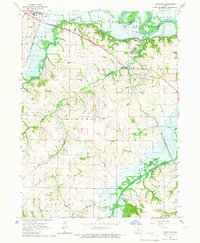 1965 Hartford1966 Print · USGSThe mid-1960s landscape of Warren County is defined by the valley of the Des Moines River and the emerging Lake Red Rock. Genealogists and researchers can trace the rail lines of the Chicago Rock Island and Pacific or locate burial sites like Black Cem and Carlisle Cem.
 - 1969 Map of Des Moines
 1969 Des Moines1969 Print · USGSCentral Iowa's fertile plains and growing capital are captured here during the late sixties, a time of major highway expansion and reservoir construction. Genealogists and researchers can trace rural township boundaries, local cemeteries, and rail lines serving towns like Pella, Grinnell, and Oskaloosa.
 - 1972 Map of Scotch Ridge, 1974 Print
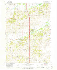 1972 Scotch Ridge1974 Print · USGSWarren County terrain in the early seventies shows a landscape shaped by the Middle River and the regional rail network. Genealogists and local historians can locate the Laverty Cem, North River Ch, and the community of Summerset along the railroad line.
 - 1984 Map of Indianola
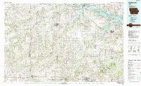 1984 Indianola1984 Print · USGSSouth-central Iowa in the mid-1980s reveals a patchwork of established rail hubs and significant new conservation areas. Trace the Chicago and North Western rail lines and explore rural landmarks like Lake Ahquabi State Park or the Strip Mine near Knoxville.
 - 2010 Map of Scotch Ridge, 2010 Print
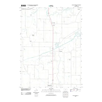 2010 Scotch Ridge2010 Print · USGSWarren County at the start of the decade shows the southern outskirts of the Des Moines metro and the rural reaches toward the Indianola city limits. Genealogists can trace family heritage through sites like Scotch Ridge Cemetery and Laverty Cemetery.
 - 2010 Map of Hartford, 2010 Print
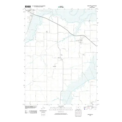 2010 Hartford2010 Print · USGSIn the early twenty-first century, the river valleys of Warren County remained a landscape of quiet crossroads and historic burial grounds. Genealogists and local researchers can locate family sites at Black Cemetery and Sandyville Cemetery or trace the rural routes connecting Greenbush and Palmyra.
 - 2013 Map of Scotch Ridge, 2013 Print
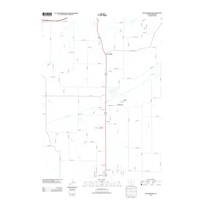 2013 Scotch Ridge2013 Print · USGSWarren County south of Des Moines comes into focus in the early 2010s, showing a landscape defined by river valleys and rural roads. Genealogists and local historians can trace family-named routes and small aviation hubs like Tuinstra Airfield and Scotch Ridge.
 - 2013 Map of Hartford, 2013 Print
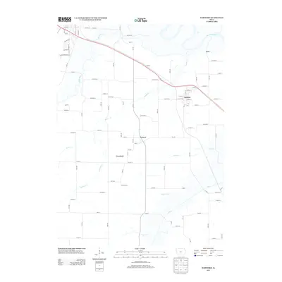 2013 Hartford2013 Print · USGSWarren County, Iowa, is shown here in the early twenty-first century as a landscape of river confluences and established rural townships. Researchers can trace the layout of Hartford and Palmyra or locate local landmarks like Lindhart Park and the banks of the Middle River.
 - 2015 Map of Scotch Ridge, 2015 Print
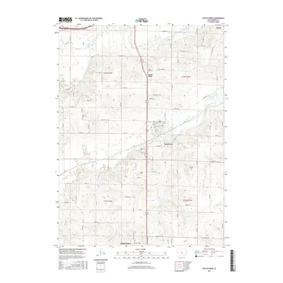 2015 Scotch Ridge2015 Print · USGSWarren County south of Des Moines comes into focus in this recent survey of the lands between the North and Middle Rivers. Family historians can locate ancestral sites like Scotch Ridge Cem and Laverty Field or trace the early paths of Scotch Ridge Rd.
 - 2015 Map of Hartford, 2015 Print
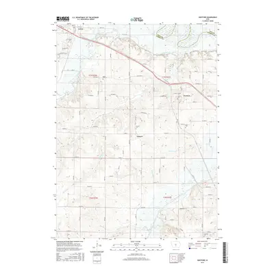 2015 Hartford2015 Print · USGSThe confluence of the Des Moines and Middle Rivers in Warren County comes into sharp focus during the mid-2010s. Local researchers can trace family lineages through numerous burial grounds like Black Cem, Palmyra Cem, and Sandyville Cem across the rural landscape.
 - 2018 Map of Scotch Ridge, 2018 Print
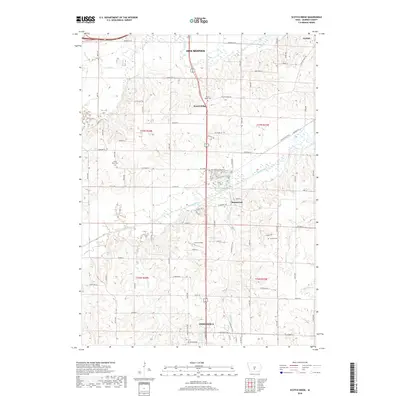 2018 Scotch Ridge2018 Print · USGSWarren County at the edge of the Des Moines metro area shows a landscape defined by river valleys and early settlements. Trace family history at Scotch Ridge Cem or North River Cem, and follow the path of the Summerset Trail through the village of Summerset.
 - 2018 Map of Hartford, 2018 Print
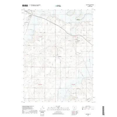 2018 Hartford2018 Print · USGSWarren County at the end of the second decade of the millennium shows a landscape defined by the meeting of three rivers. Genealogists can trace family footprints at Carlisle Cem, Black Cem, and Palmyra, located among the bends of the Middle River.
 - 2022 Map of Hartford, 2022 Print
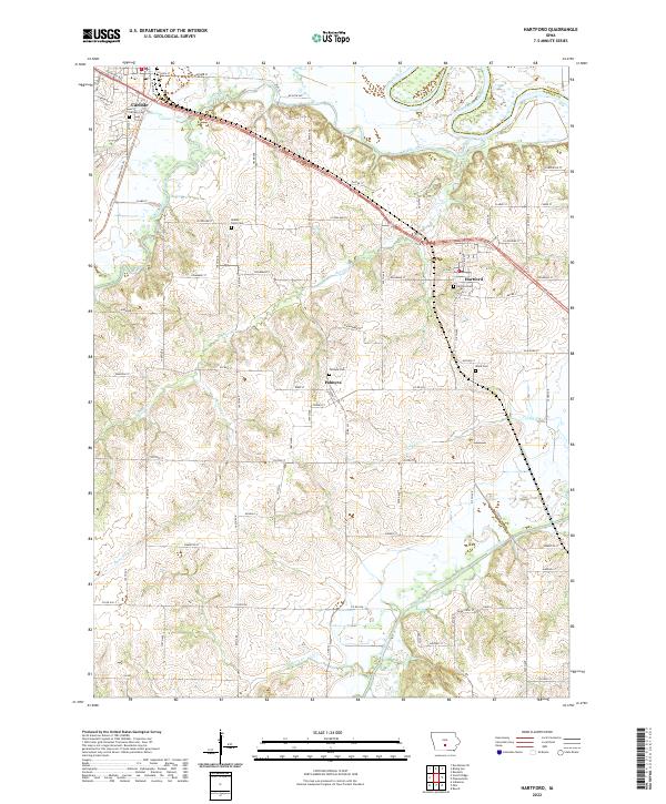 2022 Hartford2022 Print · USGSWarren and Polk counties are mapped here in the early twenty-first century as the Des Moines and Middle rivers converge. Researchers can locate several historical burial sites including Middle River Cem and Palmyra Cem, or trace the rural reaches of Skinaway Cr.
 - 2022 Map of Scotch Ridge, 2022 Print
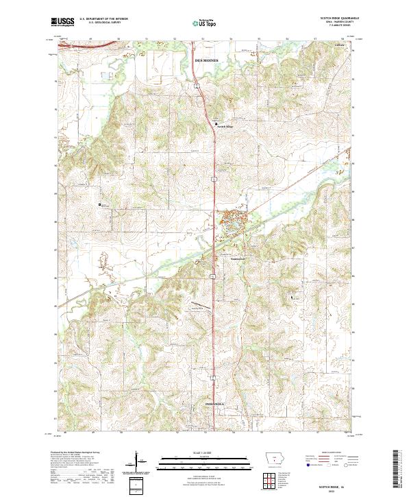 2022 Scotch Ridge2022 Print · USGSWarren County in the 2020s shows a landscape where the river valleys of the Middle River and N River meet growing communities. Researchers can trace local heritage at Scotch Ridge Cem or follow the path of the Summerset Trl.
End of results
Showing maps 1-19 of 19
Top cities near Palmyra Township
- Des Moines historical maps
- Ankeny historical maps
- Johnston historical maps
- Altoona historical maps
- Indianola historical maps
- Norwalk historical maps
See more
Top neighborhoods of Palmyra Township
Frequently asked questions
- What are the different types of historical maps available for Palmyra Township?
- What is the oldest map of Palmyra Township?
- Where can I purchase historical maps of Palmyra Township for my home or office?
- Where can I download high-res historical maps of Palmyra Township?
- Are there historical topographic maps available for Palmyra Township?
- Is there historical aerial imagery available for Palmyra Township?
- Where are historical maps of Palmyra Township sourced from?