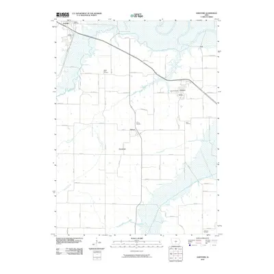
2010 Map of Hartford
USGS Topo · Published 2010About this map
Middle River and the Des Moines River converge in this riverine landscape, where the agricultural grid of Warren County is interrupted by a complex network of waterways. Small settlements and local post offices define the social geography, with Carlisle and Hartford serving as primary hubs. The map reveals a dense distribution of rural burial grounds, including the Black Cemetery and Palmyra Cemetery, which offer valuable points of reference for genealogical research in the townships between the rivers. Several tributaries, such as Butcher Creek and Skinaway Creek, meander through the terrain, illustrating the natural drainage patterns that have historically shaped farm boundaries and road placements like Illinois St and Dubuque St. The inclusion of smaller locales such as Ford, Palmyra, and Greenbush highlights the persistent identity of these crossroads communities within the larger county framework.
Find a feature on this map
42 named features on this map. Tap any name to fly to it.
Don’t see what you’re looking for? This feature index may not catch every label — zoom into the map to look around manually.
Map Details
Editions of this 2010 Hartford Map
This is the sole edition of this map. No revisions or reprints were ever made.
Other maps of this area

1905 · Des Moines
USGS Topo · 1:62,500

1907 · Des Moines
USGS Topo · 1:62,500

1910 · Milo
USGS Topo · 1:62,500

1930 · Mitchellville
USGS Topo · 1:62,500

1931 · Indianola
USGS Topo · 1:62,500

1954 · Des Moines
USGS Topo · 1:250,000

1956 · Des Moines
USGS Topo · 1:250,000

1956 · Des Moines SE
USGS Topo · 1:24,000

1956 · Des Moines
USGS Topo · 1:62,500

1957 · Des Moines
USGS Topo · 1:250,000