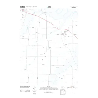
2013 Map of Hartford
USGS Topo · Published 2013About this map
The Des Moines River and its complex network of tributaries define the landscape of this region south of Des Moines. The town of Hartford serves as a central hub, situated near the winding path of Butcher Cr. This 2013 survey illustrates a rural landscape where hydrology and agricultural road grids dictate the settlement pattern, connecting smaller communities like Palmyra, Greenbush, and the riverside locality of Ford.
Find a feature on this map
87 named features on this map. Tap any name to fly to it.
Don’t see what you’re looking for? This feature index may not catch every label — zoom into the map to look around manually.
Map Details
Editions of this 2013 Hartford Map
This is the sole edition of this map. No revisions or reprints were ever made.
Other maps of this area

1905 · Des Moines
USGS Topo · 1:62,500

1907 · Des Moines
USGS Topo · 1:62,500

1910 · Milo
USGS Topo · 1:62,500

1930 · Mitchellville
USGS Topo · 1:62,500

1931 · Indianola
USGS Topo · 1:62,500

1954 · Des Moines
USGS Topo · 1:250,000

1956 · Des Moines
USGS Topo · 1:250,000

1956 · Des Moines SE
USGS Topo · 1:24,000

1956 · Des Moines
USGS Topo · 1:62,500

1957 · Des Moines
USGS Topo · 1:250,000