Old Maps of Badger Township, Iowa for Academic Research
Study the evolution of Badger Township with 29 high-resolution historic maps. Whether you're teaching, researching, or modeling changes in land use, these maps provide essential visual documentation of urban, environmental, and geographic change.
- Analyze long-term change: Track patterns in development, transportation, and natural features.
- Ideal for environmental or urban studies: Support academic projects with primary historical map data.
- Use in the classroom or lab: Educators and researchers rely on these maps to bring historical context to life.
These maps are a powerful tool for teaching, research, and visualizing how Badger Township has changed over the decades.
Badger Township, IA maps
(29)- 1923 Map of Fort Dodge
 1923 Fort Dodge1923 Print · USGSThe river valleys and rail corridors of North Central Iowa are detailed here in the years following the Great War. Genealogists and local historians can locate dozens of rural schoolhouses and the early footprints of Humboldt, Badger, and Fort Dodge.3 unique versions available
 - 1954 Map of Fort Dodge, 1968 Print
 1954 Fort Dodge1968 Print · USGSNorthwest Iowa is shown here during a period of steady industrial and rail activity in the mid-fifties. Researchers can trace the extensive rail lines connecting Fort Dodge to mining and manufacturing sites like Gypsum and Industry Station.3 unique versions available
 - 1957 Map of Fort Dodge
 1957 Fort Dodge1957 Print · USGSWest-central Iowa thrived as a network of rail-linked agricultural hubs and river towns during the mid-fifties. Researchers can trace the development of the Des Moines River valley and locate historic landmarks in Fort Dodge, Storm Lake, and Lehigh.
 - 1958 Map of Fort Dodge
 1958 Fort Dodge1958 Print · USGSWestern Iowa in the mid-1950s reveals a productive landscape of river-valley industry and prairie agricultural hubs. Researchers can trace the development of the Des Moines River corridor through Fort Dodge and locate vanished local landmarks near Coalville or Storm Lake.
 - 1979 Map of Fort Dodge North
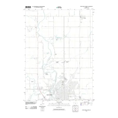
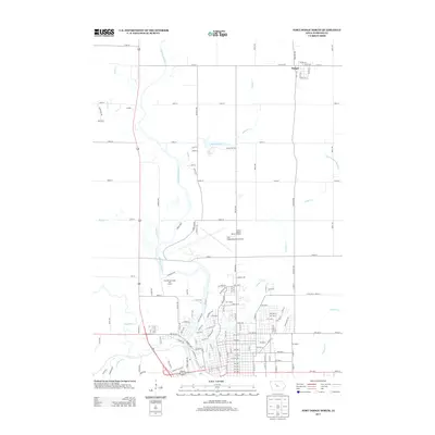
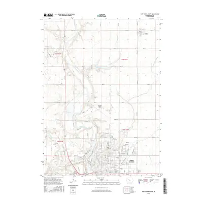
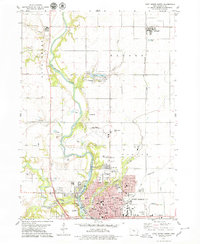 1979 Fort Dodge North1979 Print · USGSFort Dodge and the township of Badger are seen here in the late seventies as the river valley's industrial and residential corridors matured. Genealogists can locate several burial grounds like Corpus Christi Cem and St Paul Cem, while historians can trace the paths of the Illinois Central and North Western railroads.
 - 1979 Map of Thor
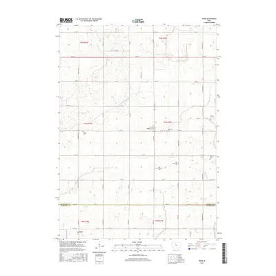
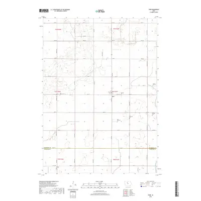
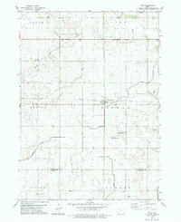 1979 Thor1979 Print · USGSHumboldt and Webster counties are captured in the late 1970s, showcasing the agricultural grid surrounding the rail town of Thor. Genealogists can locate several burial sites including East Ullensvang Cem, Norway Lake Cem, and Blossom Hill Cem.2 unique versions available
 - 1979 Map of Humboldt
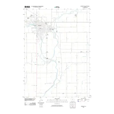
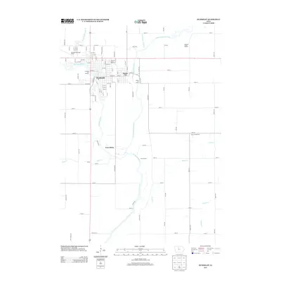
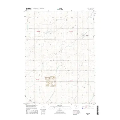
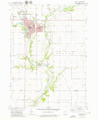 1979 Humboldt1979 Print · USGSHumboldt and Dakota City sit at the junction of the Des Moines River forks during the late seventies, a period of established civic and rail infrastructure. Researchers can trace family roots through several rural burial grounds like Union Cem and Indian Mound Cem or locate vanished local schools such as Meuse Sch.
 - 1979 Map of Vincent
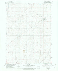 1979 Vincent1979 Print · USGSVincent and the surrounding Webster County townships are shown here in the late seventies as a structured agricultural landscape. Genealogists and researchers can pinpoint historical sites including St Johns Ch, Colfax Cem, and the railroad settlement of Industry.
 - 1984 Map of Humboldt, 1985 Print
 1984 Humboldt1985 Print · USGSNorth Central Iowa in the mid-eighties shows a deeply integrated landscape of agricultural drainage and rail-connected settlements. Trace the rural layout of the era via the Chicago and North Western line, Rush Lake, and Lizard Lake County Park.2 unique versions available
 - 2010 Map of Vincent, 2010 Print
 2010 Vincent2010 Print · USGSCovers Badger Township, including Fort Dodge, Vincent, and other nearby areas
 - 2010 Map of Humboldt, 2010 Print
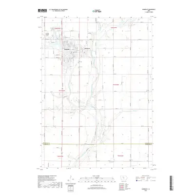
 2010 Humboldt2010 Print · USGSCovers Badger Township, including Humboldt, Dakota City, and other nearby areas
 - 2010 Map of Thor, 2010 Print
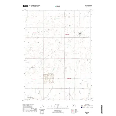
 2010 Thor2010 Print · USGSCovers Badger Township, including Thor, Newark Township, and other nearby areas
 - 2010 Map of Fort Dodge North, 2010 Print
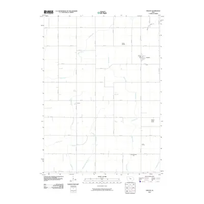
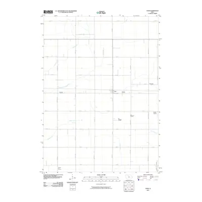
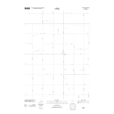
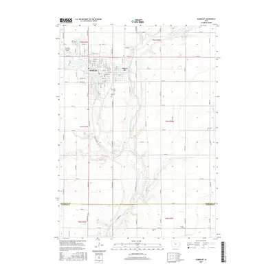
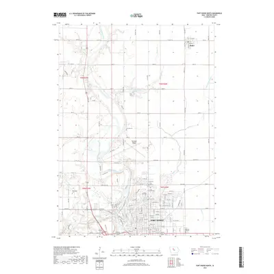
 2010 Fort Dodge North2010 Print · USGSCovers Badger Township, including Fort Dodge, Badger, and other nearby areas
 - 2013 Map of Thor, 2013 Print
 2013 Thor2013 Print · USGSCovers Badger Township, including Thor, Newark Township, and other nearby areas
 - 2013 Map of Fort Dodge North, 2013 Print
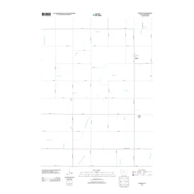
 2013 Fort Dodge North2013 Print · USGSCovers Badger Township, including Fort Dodge, Badger, and other nearby areas
 - 2013 Map of Vincent, 2013 Print
 2013 Vincent2013 Print · USGSCovers Badger Township, including Fort Dodge, Vincent, and other nearby areas
 - 2013 Map of Humboldt, 2013 Print
 2013 Humboldt2013 Print · USGSCovers Badger Township, including Humboldt, Dakota City, and other nearby areas
 - 2015 Map of Humboldt, 2015 Print
 2015 Humboldt2015 Print · USGSCovers Badger Township, including Humboldt, Dakota City, and other nearby areas
 - 2015 Map of Fort Dodge North, 2015 Print
 2015 Fort Dodge North2015 Print · USGSCovers Badger Township, including Fort Dodge, Badger, and other nearby areas
 - 2015 Map of Vincent, 2015 Print
 2015 Vincent2015 Print · USGSCovers Badger Township, including Fort Dodge, Vincent, and other nearby areas
 - 2015 Map of Thor, 2015 Print
 2015 Thor2015 Print · USGSCovers Badger Township, including Thor, Newark Township, and other nearby areas
 - 2018 Map of Fort Dodge North, 2018 Print
 2018 Fort Dodge North2018 Print · USGSCovers Badger Township, including Fort Dodge, Badger, and other nearby areas
 - 2018 Map of Vincent, 2018 Print
 2018 Vincent2018 Print · USGSCovers Badger Township, including Fort Dodge, Vincent, and other nearby areas
 - 2018 Map of Thor, 2018 Print
 2018 Thor2018 Print · USGSCovers Badger Township, including Thor, Newark Township, and other nearby areas
 - 2018 Map of Humboldt, 2018 Print
 2018 Humboldt2018 Print · USGSCovers Badger Township, including Humboldt, Dakota City, and other nearby areas
Showing maps 1-25 of 29
Top cities near Badger Township
- Fort Dodge historical maps
- Humboldt historical maps
- Dakota City historical maps
- Coalville historical maps
- Badger historical maps
- Otho historical maps
See more
Top neighborhoods of Badger Township
Frequently asked questions
- What are the different types of historical maps available for Badger Township?
- What is the oldest map of Badger Township?
- Where can I purchase historical maps of Badger Township for my home or office?
- Where can I download high-res historical maps of Badger Township?
- Are there historical topographic maps available for Badger Township?
- Is there historical aerial imagery available for Badger Township?
- Where are historical maps of Badger Township sourced from?