Old Maps of Canoe, Iowa
Explore 13 old maps of Canoe, spanning from 1906 to today. These high-resolution historic maps reveal how streets, neighborhoods, landmarks, and natural features evolved over time — perfect for genealogy, metal detecting, research, and local history exploration.
What you can do with these maps:
- See how Canoe changed over time: Compare historical maps to modern-day views to trace roads, homesites, rail lines & more.
- View detailed metadata: Each map includes creators, publishers, year, scale, and archive source.
- Overlay maps with satellite & LiDAR: Visualize the past alongside modern tools to explore terrain & human change.
- Trusted historical sources: Maps sourced from the USGS, Library of Congress, and other archives.
- Access maps your way: View online, download high-res files, or order prints for personal or research use.
Start exploring old maps of Canoe to uncover forgotten places, hidden landmarks, and the deep history beneath your feet.
Canoe, IA maps
(13)- 1906 Map of Decorah
 1906 Decorah1906 Print · USGSNortheast Iowa at the turn of the century was a land of intricate river valleys and vital railroad junctions. Genealogists can trace the early rail-and-river economy through landmarks like Decorah, the historic site of Fort Atkinson, and the junction at Calmar.3 unique versions available
 - 1958 Map of La Crosse, 1979 Print
 1958 La Crosse1979 Print · USGSThe Driftless Area of Wisconsin and Iowa is captured here during the late seventies, showing the intricate river valleys and ridge-top settlements. Genealogists and historians can trace the rail corridors of the Soo Line or locate landmarks like Grandad Bluff and Effigy Mounds National Monument.2 unique versions available
 - 1961 Map of La Crosse
 1961 La Crosse1961 Print · USGSThe Driftless Area at the start of the 1960s reveals a complex network of river towns and rail lines along the Mississippi River. Genealogists and historians can trace old settlements like New Amsterdam and Wyattville or locate major landmarks like Camp McCoy Military Reservation and Effigy Mounds National Monument.
 - 1965 Map of La Crosse
 1965 La Crosse1965 Print · USGSThe Driftless Area and the Upper Mississippi valley are captured here during a period of steady mid-century growth. Researchers can trace the rail lines of the Chicago and North Western or locate riverfront sites like Effigy Mounds National Monument and the Camp McCoy Military Reservation.
 - 1975 Map of Decorah 1 SW, 1977 Print
 1975 Decorah 1 SW1977 Print · USGSWinneshiek County and the winding valley of the Upper Iowa River are captured in this mid-seventies aerial study. Genealogists and local historians can trace the rural development around Freeport and the intricate farmstead layouts of the era.
 - 1976 Map of La Crosse
 1976 La Crosse1976 Print · USGSThe Driftless Area and Mississippi River valley are captured here in the mid-seventies, showing a landscape of deep coulees and river commerce. Genealogists can trace family footprints from La Crosse to smaller hamlets like Newburg Corners and Witoka.
 - 1981 Map of Freeport, 1982 Print
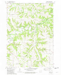 1981 Freeport1982 Print · USGSWinneshiek County in the early eighties is a landscape of river loops and rural landmarks. Genealogists can trace family roots at North Washington Prairie Cem or Pontoppidan Cem while mapping the reaches of the Upper Iowa River.
 - 1985 Map of Decorah
 1985 Decorah1985 Print · USGSNortheast Iowa and western Wisconsin in the mid-eighties show a landscape of high bluffs and river valleys shaped by the Upper Iowa and Mississippi Rivers. Genealogists and historians can trace the paths of the Chicago Milwaukee St Paul and Pacific railroad or locate the National Cemetery and the ancient earthworks at Effigy Mounds National Monument.2 unique versions available
 - 2010 Map of Freeport, 2010 Print
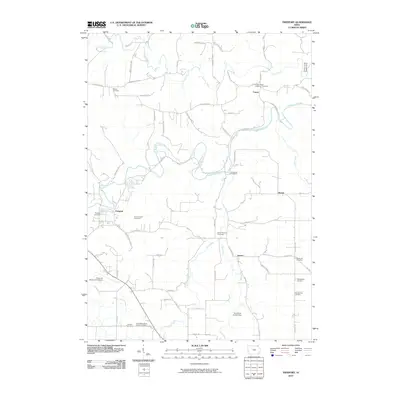 2010 Freeport2010 Print · USGSWinneshiek County is captured here in the early twenty-first century as a landscape of river valleys and deep-rooted rural settlements. Researchers can locate numerous family and church burial sites, including the Teslow Farm Cemetery, Nasset, and the Canoe Ridge Lutheran Cemetery.
 - 2013 Map of Freeport, 2013 Print
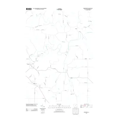 2013 Freeport2013 Print · USGSWinneshiek County's river valleys remained central to local life in the early 2010s as the region's agricultural and aviation hubs evolved. Researchers can map out the rural landscape near Freeport and Nasset, or locate recreation spots along the Upper Iowa River and Trout River.
 - 2015 Map of Freeport, 2015 Print
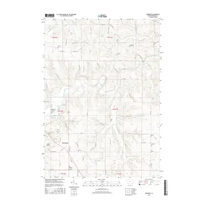 2015 Freeport2015 Print · USGSThe bluffs and valleys of Winneshiek County are captured here in the mid-2010s as the Upper Iowa River cuts past Decorah. Genealogists can trace numerous burial sites including Canoe Ridge Lutheran Cem, Pontoppidan Cem, and the Baker School Cem.
 - 2018 Map of Freeport, 2018 Print
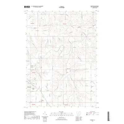 2018 Freeport2018 Print · USGSWinneshiek County’s bluff country is documented here in the late 2010s, centered on the river valleys near Freeport. Family historians can locate numerous rural burial sites like Canoe Cem, Pontoppidan Cem, and the Pioneer Cem.
 - 2022 Map of Freeport, 2022 Print
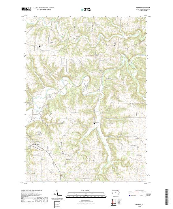 2022 Freeport2022 Print · USGSWinneshiek County is captured here in the early twenty-first century, showing the rural landscapes where the Upper Iowa River meets the Nordic Hills. Genealogists can trace family heritage through numerous historic sites like Freeport Cem and the Glenwood Lutheran Cem.
End of results
Showing maps 1-13 of 13
Top cities near Canoe
- Decorah historical maps
- Waukon historical maps
- Spring Grove historical maps
- Calmar historical maps
- Ossian historical maps
- Mabel historical maps
See more
Frequently asked questions
- What are the different types of historical maps available for Canoe?
- What is the oldest map of Canoe?
- Where can I purchase historical maps of Canoe for my home or office?
- Where can I download high-res historical maps of Canoe?
- Are there historical topographic maps available for Canoe?
- Is there historical aerial imagery available for Canoe?
- Where are historical maps of Canoe sourced from?