2020s Maps of Anderson County, Kansas
Explore 20 historic maps of Anderson County from the 2020s. These maps offer a rare glimpse into what life looked like during the 2020s — showing old roads, neighborhoods, homes, and landmarks that have changed or disappeared over time.
Whether you're researching your family's past, planning a metal detecting trip, or studying how Anderson County's landscape evolved across the 2020s, these high-resolution maps are a powerful tool for exploring the history of this region.
- Focus on a specific era: All maps on this page are from the 2020s, giving you a focused view of this time period.
- See what’s changed: Compare century-old streets, trails, and buildings to today's modern landscape using overlays and satellite layers.
- Research with precision: Use these maps for genealogy, historical research, land use analysis, or educational projects.
- View, download, or print: Maps are fully viewable online in high resolution, and can be downloaded or printed for your own records.
Start exploring Anderson County's history through authentic maps from the 2020s. This is your window into the past.
Anderson County, KS maps
(20)- 2022 Map of Kincaid, 2022 Print
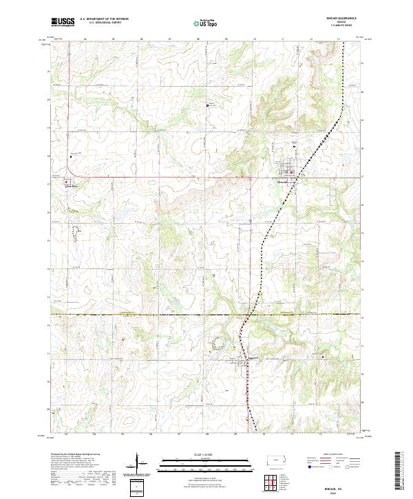 2022 Kincaid2022 Print · USGSAnderson and Allen counties come together in this detailed study of eastern Kansas during the early twenty-first century. Researchers can trace family roots through several local landmarks, including Kincaid Cemetery, Lone Elm Cemetery, and the quiet waters of Mildred Lake.
 - 2022 Map of Colony, 2022 Print
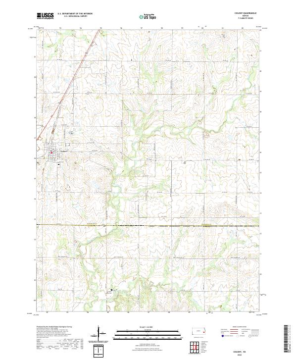 2022 Colony2022 Print · USGSThe town of Colony and the surrounding farmland of Anderson and Allen counties are shown here in the early 2020s. Researchers can locate family sites near Colony Cem and Pleasant Valley Cem or trace the drainage of Deer Creek.
 - 2022 Map of Garnett West, 2022 Print
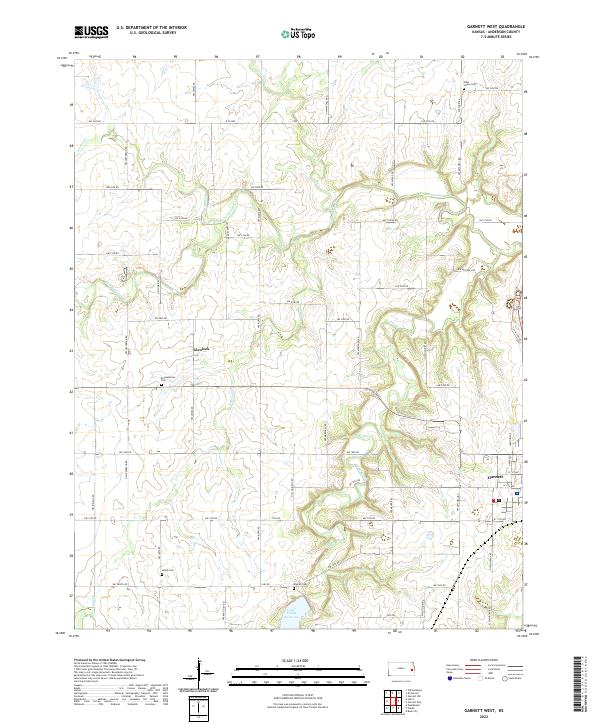 2022 Garnett West2022 Print · USGSAnderson County's rural townships are documented here during the early 21st century, showing a landscape defined by prairie creeks and tight-knit community hubs. Researchers can locate family burial sites like Amish Cem and West Scipio Cem or trace the drainage of Pottawatomie Cr.
 - 2022 Map of Williamsburg, 2022 Print
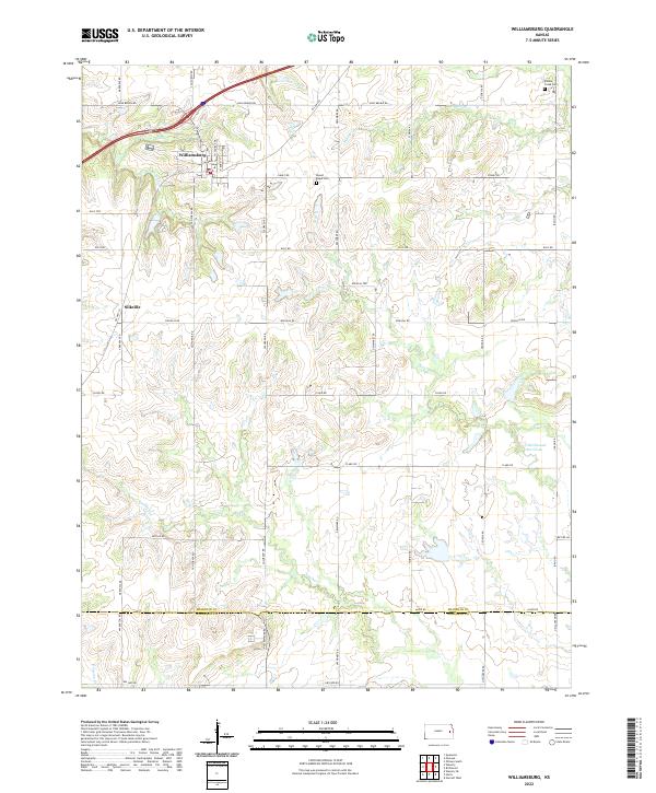 2022 Williamsburg2022 Print · USGSThe Franklin County prairie south of Williamsburg is captured here in the early twenty-first century, showing a landscape defined by its creek-fed valleys and rural legacy. Genealogists can locate Middle Creek Cem and Mount Hope Cem, or trace the historical site of Silkville.
 - 2022 Map of Waverly SE, 2022 Print
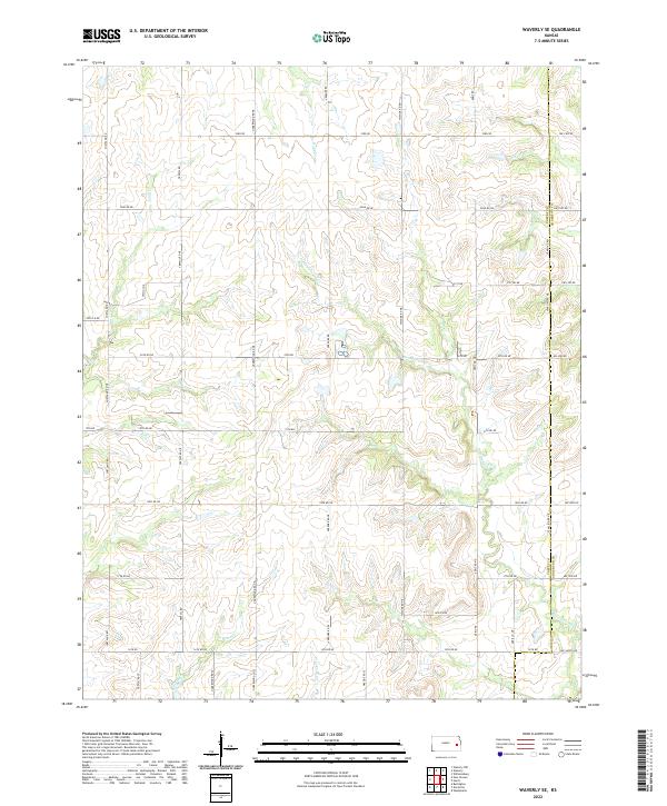 2022 Waverly SE2022 Print · USGSThe eastern Kansas prairie meets the intricate drainage of the Pottawatomie Cr system during the early twenty-first century. Genealogists and land researchers can trace property boundaries and historical water access along Scott Cr, Rock Cr, and the Coffey and Anderson county line.
 - 2022 Map of Welda, 2022 Print
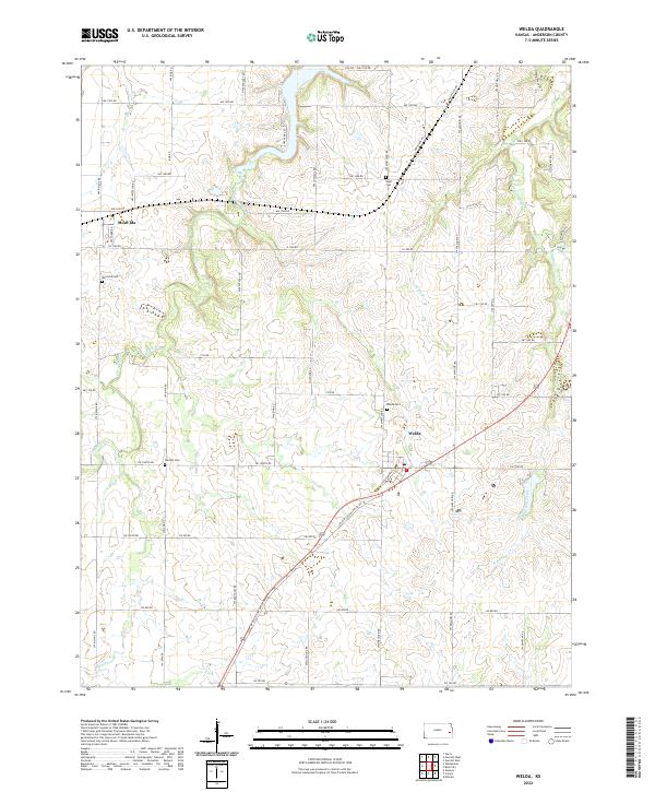 2022 Welda2022 Print · USGSAnderson County's rural townships are documented in this recent survey, showing the enduring structure of the Kansas prairie. Genealogists can locate several local burial sites including Wardell Cem and Hyatt Cem near the settlements of Welda and Mont Ida.
 - 2022 Map of Bush City, 2022 Print
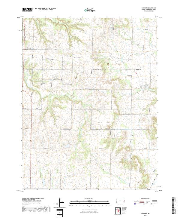 2022 Bush City2022 Print · USGSAnderson County, Kansas, is mapped here in the early twenty-first century, showcasing a rural landscape defined by the S Fork Pottawatomie Cr. Researchers can locate Bush City and trace family history at Springfield Cem or Horn Cem.
 - 2022 Map of Harris, 2022 Print
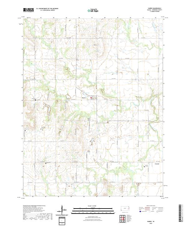 2022 Harris2022 Print · USGSAnderson County farming and small-town life are preserved in this recent survey. Researchers can trace rural lineages through Central City Cem and Bethel Cem or locate the small settlements of Harris and Central.
 - 2022 Map of Garnett NW, 2022 Print
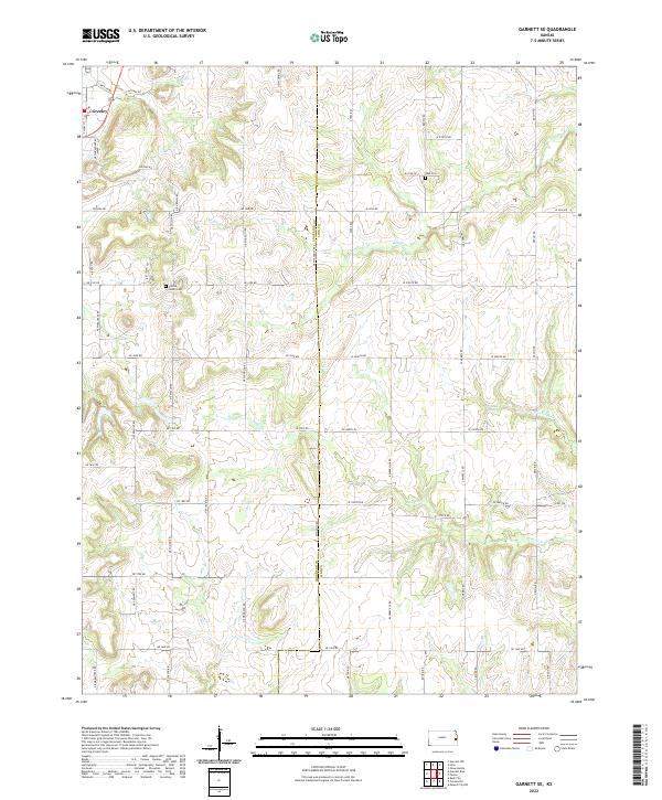
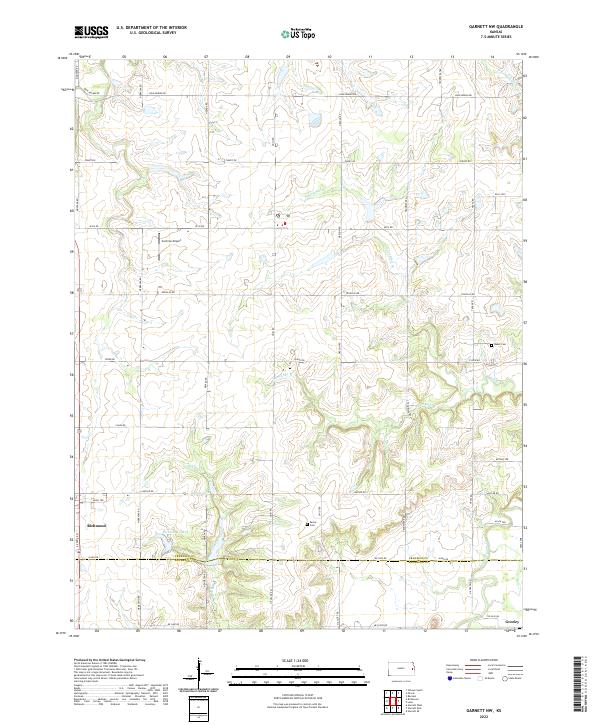 2022 Garnett NW2022 Print · USGSFranklin and Anderson counties come together in this contemporary survey of the rural Kansas prairie near the towns of Richmond and Greeley. Researchers can trace local landmarks like Baker Cem, the waters of Richmond Lake, and the winding Pottawatomie Cr.
 - 2022 Map of Lane, 2022 Print
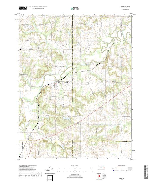 2022 Lane2022 Print · USGSThe borderlands of Franklin and Miami counties come into focus in the early 2020s, showing a landscape shaped by the winding Pottawatomie Creek. Family historians can locate several rural burial grounds, including the Spring Grove Quaker Cem and Lane Cem.
 - 2022 Map of Centerville, 2022 Print
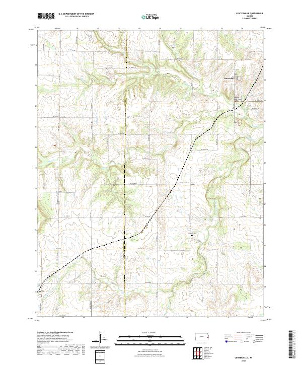 2022 Centerville2022 Print · USGSThe rural borderlands of eastern Kansas are shown in detail as they appeared in the early 2020s, centered on the small communities of Centerville and Selma. Genealogists and researchers can trace the agricultural road network to landmarks like Oakwood Cemetery and the waters of Sugar Creek.
 - 2022 Map of Aliceville, 2022 Print
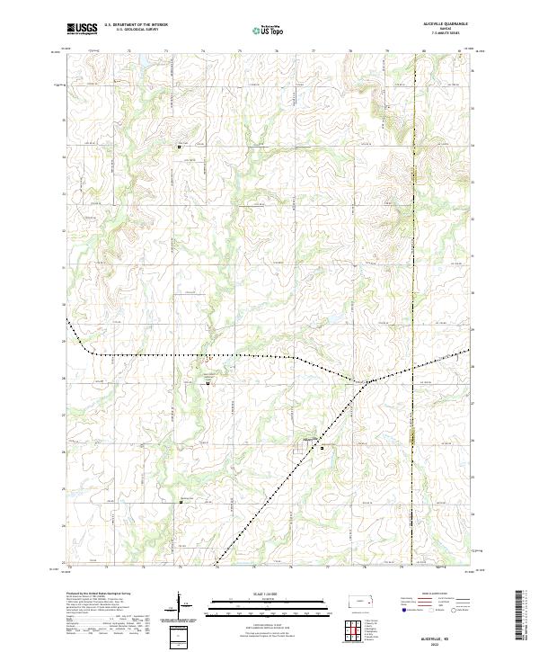 2022 Aliceville2022 Print · USGSThe rural landscape around Aliceville is captured in the early 2020s, showing a region defined by agricultural traditions and quiet stream valleys. Researchers can locate family landmarks like Quisling Cem, Altamont Cem, and Saint Johns Lutheran Cem.
 - 2022 Map of Westphalia, 2022 Print
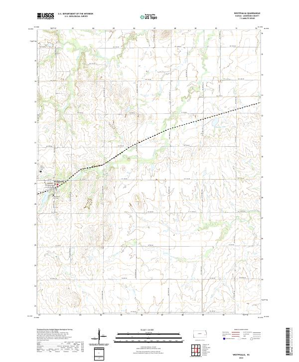 2022 Westphalia2022 Print · USGSAnderson County's rural character remains well-preserved in this contemporary survey of the Westphalia area. Genealogists can locate family sites near Saint Teresa's Cem or Westphalia City Cem and trace the many branches of Pottawatomie Cr.
 - 2022 Map of Garnett East, 2022 Print
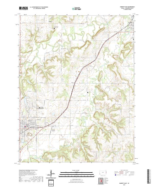 2022 Garnett East2022 Print · USGSGarnett and the surrounding Anderson County plains are detailed here during the early 2020s, showing a landscape defined by meandering creek forks and rural intersections. Genealogists can trace property proximities to Saint Boniface Catholic Cem, Judy Cem, and the Anderson County Courthouse.
 - 2022 Map of Waverly, 2022 Print
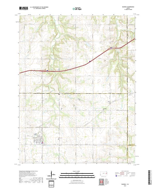 2022 Waverly2022 Print · USGSThe rural prairie of Coffey County is captured here in the early 2020s, centered on the historic town of Waverly. Researchers can locate family landmarks like Waverly Cem or trace the winding course of Rock Creek and Tequa Cr through the countryside.
 - 2022 Map of Blue Mound, 2022 Print
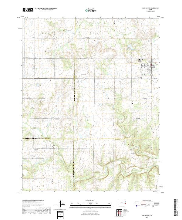 2022 Blue Mound2022 Print · USGSBlue Mound and its surrounding prairie landscapes are documented here in the early twenty-first century as the community spans four county borders. Researchers can trace local lineage across several rural burial grounds including Sunny Slope Cem, Old Blue Mound Cem, and Boulware Cem.
 - 2022 Map of Geneva, 2022 Print
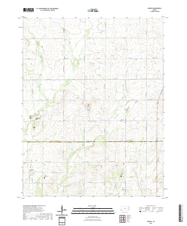 2022 Geneva2022 Print · USGSThe rural borderlands between Anderson and Allen Counties are mapped here in the early twenty-first century. Genealogists can locate several local burial sites, including Geneva Cem and the Allen County Poor Farm Cem near Indian Cr.
 - 2022 Map of Garnett SE, 2022 Print
 2022 Garnett SE2022 Print · USGSEastern Kansas farmland near the turn of the twenty-first century reveals a landscape of enduring family heritage and rural infrastructure. Genealogists and local historians can trace legacy sites like Wait Cem and Sutton Valley Cem near Greeley.
 - 2022 Map of Richmond, 2022 Print
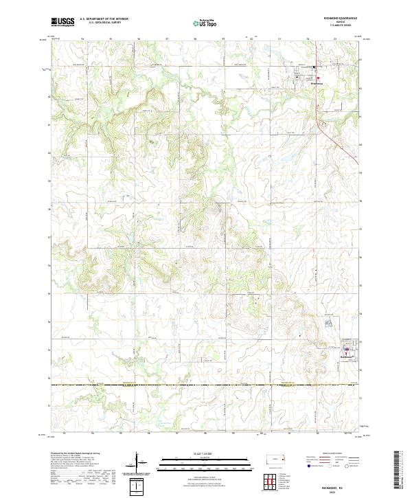 2022 Richmond2022 Print · USGSEastern Kansas farmland is meticulously detailed here in the early twenty-first century, spanning the border of Franklin and Anderson counties. Researchers can trace local landmarks like Princeton Cem or follow the meandering course of Middle Cr and Old Channel Sac Creek.
 - 2022 Map of Neosho Falls, 2022 Print
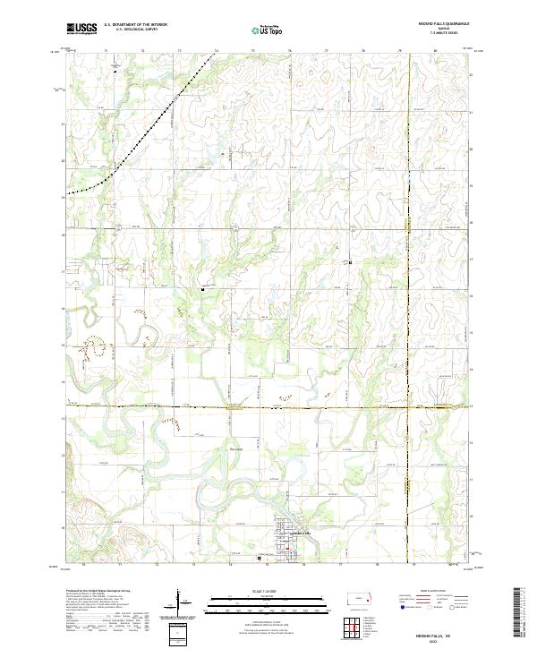 2022 Neosho Falls2022 Print · USGSSoutheast Kansas at the crossroads of four counties is documented here as the river-and-road network of the modern era. Researchers can trace rural lineages through Cedarvale Cem or Stoetzing Cem and explore the unique river geography of The Island.
End of results
Showing maps 1-20 of 20
Top cities of Anderson County
- Garnett historical maps
- Colony historical maps
- Greeley historical maps
- Welda historical maps
- Kincaid historical maps
- Westphalia historical maps
See more
Frequently asked questions
- What are the different types of historical maps available for Anderson County?
- What is the oldest map of Anderson County?
- Where can I purchase historical maps of Anderson County for my home or office?
- Where can I download high-res historical maps of Anderson County?
- Are there historical topographic maps available for Anderson County?
- Is there historical aerial imagery available for Anderson County?
- Where are historical maps of Anderson County sourced from?