Old Maps of Greeley, Kansas
Explore 32 old maps of Greeley, spanning from 1885 to today. These high-resolution historic maps reveal how streets, neighborhoods, landmarks, and natural features evolved over time — perfect for genealogy, metal detecting, research, and local history exploration.
What you can do with these maps:
- See how Greeley changed over time: Compare historical maps to modern-day views to trace roads, homesites, rail lines & more.
- View detailed metadata: Each map includes creators, publishers, year, scale, and archive source.
- Overlay maps with satellite & LiDAR: Visualize the past alongside modern tools to explore terrain & human change.
- Trusted historical sources: Maps sourced from the USGS, Library of Congress, and other archives.
- Access maps your way: View online, download high-res files, or order prints for personal or research use.
Start exploring old maps of Greeley to uncover forgotten places, hidden landmarks, and the deep history beneath your feet.
Greeley, KS maps
(32)- 1885 Map of Garnett
 1885 Garnett1885 Print · USGSAnderson County during the late nineteenth-century rail boom shows a landscape of emerging towns and heavy steam-engine influence. Genealogists can trace family roots in early settlements like Garnett, Central City, and Elizabethtown before the modern highway era.
 - 1894 Map of Garnett
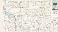
 1894 Garnett1894 Print · USGSAnderson County and its neighbors flourished during this Victorian-era railroad boom. Genealogists and historians can trace the exact routes of the Missouri Pacific Railroad and locate early settlements like Elizabethtown, Central City, and Mont Ida.5 unique versions available
 - 1947 Map of Lawrence, 1954 Print
 1947 Lawrence1954 Print · USGSEastern Kansas and western Missouri thrive in the late 1940s, showing a landscape defined by major river valleys and a dense railway network. Genealogists can trace family settlements from Lawrence to Greenwood and locate landmarks like Olathe Navy and Lake Lotawana.
 - 1950 Map of Lawrence
 1950 Lawrence1950 Print · USGSMid-century Kansas and Missouri come alive in this map of the river-valley corridors just as the interstate era was beginning. Researchers can trace the legacy of major rail lines like the Union Pacific RR and locate ancestral roots in towns from Lawrence to Harrisonville.
 - 1956 Map of Lawrence, 1967 Print
 1956 Lawrence1967 Print · USGSEastern Kansas and the Missouri border country are captured here during the mid-century transition to the interstate era. Genealogists and local historians can trace family-named terrain like Summers Mound and the footprint of Sunflower Ordnance Works near Baldwin City.4 unique versions available
 - 1961 Map of Lawrence
 1961 Lawrence1961 Print · USGSThe Kansas-Missouri borderland shows its mid-century transition from a rail-dependent agricultural region to a suburbanizing landscape. Genealogists can trace family footprints through numerous Cem sites and distinctive terrain landmarks like Graves Mound and Summers Mound.
 - 1966 Map of Garnett East, 1967 Print
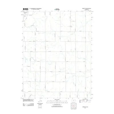
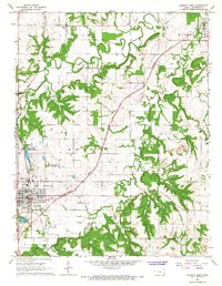 1966 Garnett East1967 Print · USGSAnderson County's rural character and the growth of its county seat are captured here in the mid-sixties. Genealogists and local historians can trace family locations near Scipio and Greeley, or locate legacy sites like Judy Sch and St John Cem.2 unique versions available
 - 1966 Map of Lane, 1967 Print
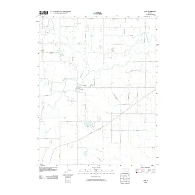
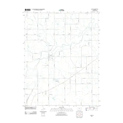
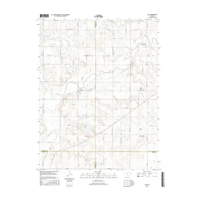
 1966 Lane1967 Print · USGSThe rural borderlands of Franklin and Miami counties are captured in the mid-1960s, centered on the winding Pottawatomie Creek. Researchers can trace local lineage through Needham Cem and find vanished rural schools like Fairview Sch and Indianapolis Sch.2 unique versions available
 - 1966 Map of Garnett NW, 1967 Print
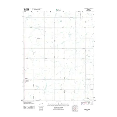
 1966 Garnett NW1967 Print · USGSEastern Kansas prairie and creek valleys are captured here in the mid-1960s as the railroad and small-town life shaped the landscape. Genealogists and historians can trace the ATCHISON TOPEKA AND SANTA FE tracks past Richmond or locate family plots at Baker Cem and Berea Cem.2 unique versions available
 - 1966 Map of Garnett SE, 1967 Print
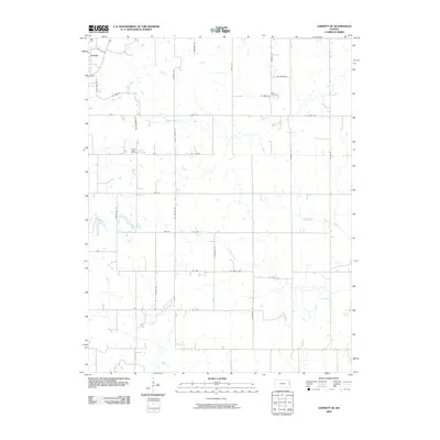
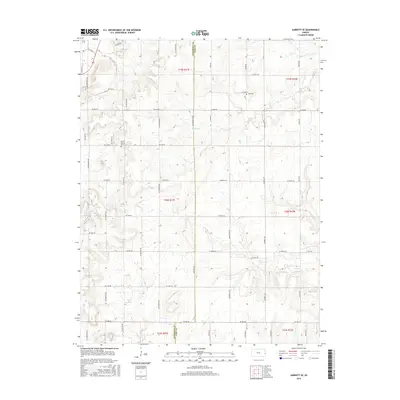
 1966 Garnett SE1967 Print · USGSEastern Kansas rural life comes into focus in the mid-1960s along the Anderson and Linn County line. Researchers can trace land tracts near Greeley or locate ancestral sites at Wait Cem and Sutton Valley Cem.2 unique versions available
 - 1985 Map of Garnett
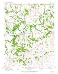
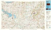
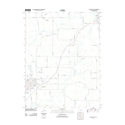
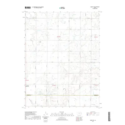
 1985 Garnett1985 Print · USGSAnderson County and its neighbors in the mid-eighties show a landscape of rising reservoirs and enduring rail towns. Genealogists and historians can trace the transition from rail to highway at Beto Junction or locate heritage sites like Silkville and Neosho Rapids.
 - 1990 Map of Garnett
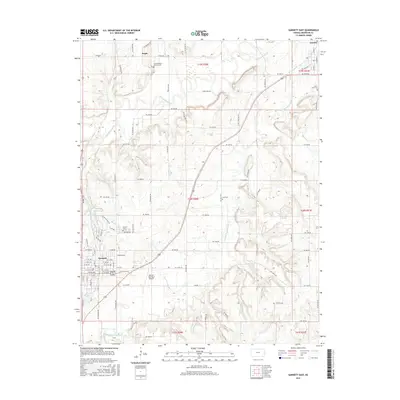
 1990 Garnett1990 Print · USGSEast-central Kansas was a landscape of major reservoirs and established rail towns during the 1990s. Genealogists and historians can trace the paths of the Missouri Pacific Railroad and the Atchison Topeka and Santa Fe Railway through towns like Garnett and Silkville.
 - 2009 Map of Garnett NW, 2009 Print
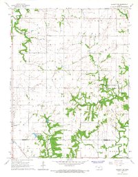
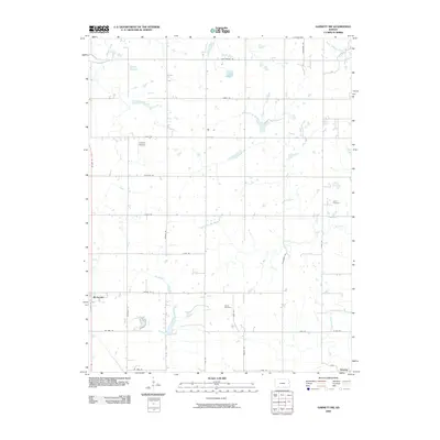 2009 Garnett NW2009 Print · USGSCovers Greeley, including Richmond, Franklin County, and other nearby areas
 - 2009 Map of Garnett East, 2009 Print
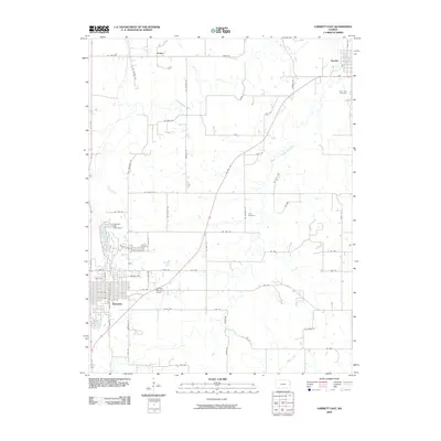 2009 Garnett East2009 Print · USGSCovers Greeley, including Garnett, Scipio, and other nearby areas
 - 2009 Map of Garnett SE, 2009 Print
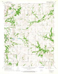
 2009 Garnett SE2009 Print · USGSCovers Greeley, including Anderson County, Linn County, and other nearby areas
 - 2009 Map of Lane, 2009 Print
 2009 Lane2009 Print · USGSCovers Greeley, including Lane, Miami County, and other nearby areas
 - 2012 Map of Garnett NW, 2012 Print
 2012 Garnett NW2012 Print · USGSCovers Greeley, including Richmond, Franklin County, and other nearby areas
 - 2012 Map of Lane, 2012 Print
 2012 Lane2012 Print · USGSCovers Greeley, including Lane, Miami County, and other nearby areas
 - 2012 Map of Garnett SE, 2012 Print
 2012 Garnett SE2012 Print · USGSCovers Greeley, including Anderson County, Linn County, and other nearby areas
 - 2012 Map of Garnett East, 2012 Print
 2012 Garnett East2012 Print · USGSCovers Greeley, including Garnett, Scipio, and other nearby areas
 - 2015 Map of Garnett East, 2015 Print
 2015 Garnett East2015 Print · USGSCovers Greeley, including Garnett, Scipio, and other nearby areas
 - 2015 Map of Garnett NW, 2015 Print
 2015 Garnett NW2015 Print · USGSCovers Greeley, including Richmond, Franklin County, and other nearby areas
 - 2015 Map of Garnett SE, 2015 Print
 2015 Garnett SE2015 Print · USGSCovers Greeley, including Anderson County, Linn County, and other nearby areas
 - 2015 Map of Lane, 2015 Print
 2015 Lane2015 Print · USGSCovers Greeley, including Lane, Miami County, and other nearby areas
 - 2018 Map of Garnett NW, 2018 Print
 2018 Garnett NW2018 Print · USGSCovers Greeley, including Richmond, Franklin County, and other nearby areas
Showing maps 1-25 of 32
Top cities near Greeley
- Ottawa historical maps
- Osawatomie historical maps
- Garnett historical maps
- Stanton historical maps
- Peoria historical maps
- Richmond historical maps
See more
Frequently asked questions
- What are the different types of historical maps available for Greeley?
- What is the oldest map of Greeley?
- Where can I purchase historical maps of Greeley for my home or office?
- Where can I download high-res historical maps of Greeley?
- Are there historical topographic maps available for Greeley?
- Is there historical aerial imagery available for Greeley?
- Where are historical maps of Greeley sourced from?