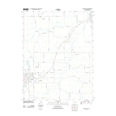
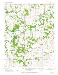
2012 Map of Garnett East
USGS Topo · Published 2012About this map
Garnett serves as the focal point of this Eastern Kansas landscape, where the town's grid meets the surrounding rural expanse. The area's development is anchored by the Garnett Municipal Airport and the nearby Garnett Fairgrounds, reflecting the civic and economic life of the county seat. Along the western edge, Lake Garnett and Crystal Lake provide prominent hydrological features against the agrarian backdrop. Northward, the small settlements of Scipio and Greeley are joined by a network of sectional roads, with the latter situated near the winding course of Pottawatomie Cr. The map is particularly useful for genealogists, as it documents several historic burial grounds including Saint Boniface Catholic Cem, Saint John Cem, and the Greeley City Cem. The confluence of the S Fork Pottawatomie Cr and other local drainage like Saline Cr illustrates the importance of the river valley to the regional geography.
Find a feature on this map
68 named features on this map. Tap any name to fly to it.
Don’t see what you’re looking for? This feature index may not catch every label — zoom into the map to look around manually.
Map Details
Editions of this 2012 Garnett East Map
This is the sole edition of this map. No revisions or reprints were ever made.
Other maps of this area

1885 · Garnett
USGS Topo · 1:125,000

1894 · Garnett
USGS Topo · 1:125,000

1947 · Lawrence
USGS Topo · 1:250,000

1950 · Lawrence
USGS Topo · 1:250,000

1956 · Lawrence
USGS Topo · 1:250,000

1961 · Lawrence
USGS Topo · 1:250,000
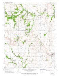
1965 · Richmond
USGS Topo · 1:24,000
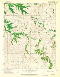
1966 · Bush City
USGS Topo · 1:24,000
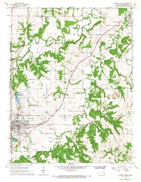
1966 · Garnett East
USGS Topo · 1:24,000
1966 · Lane
USGS Topo · 1:24,000