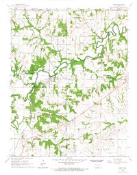
1966 Map of Lane
USGS Topo · Published 1967About this map
Pottawatomie Creek meanders through this eastern Kansas landscape, carving a deep, wooded valley that dictates the region's development. Centered on the town of Lane, the map reveals a rural economy shaped by both agriculture and industry, with a Pumping Station and multiple Quarry sites dotting the terrain. The presence of the Missouri Pacific railroad provides a critical transportation spine, connecting local settlements to larger markets.
Find a feature on this map
29 named features on this map. Tap any name to fly to it.
Don’t see what you’re looking for? This feature index may not catch every label — zoom into the map to look around manually.
Map Details
Editions of this 1966 Lane Map
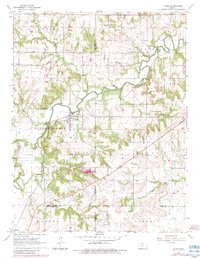
2 editions found
Other maps of this area

1885 · Garnett
USGS Topo · 1:125,000

1885 · Lawrence
USGS Topo · 1:125,000

1887 · Olathe
USGS Topo · 1:125,000

1887 · Mound City
USGS Topo · 1:125,000

1889 · Lawrence
USGS Topo · 1:125,000

1893 · Mound City
USGS Topo · 1:125,000

1893 · Olathe
USGS Topo · 1:125,000

1894 · Garnett
USGS Topo · 1:125,000

1947 · Lawrence
USGS Topo · 1:250,000

1950 · Lawrence
USGS Topo · 1:250,000