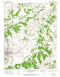
1966 Map of Garnett East
USGS Topo · Published 1967About this map
Pottawatomie Creek and its South Fork meander through this landscape in central Anderson County, shaping the settlement patterns of the mid-1960s. The city of Garnett serves as the regional anchor, featuring significant mid-century civic infrastructure like the Garnett Municipal Airport and recreational water bodies including Lake Garnett and Crystal Lake. The Missouri Pacific railroad cuts a diagonal path across the township boundaries of Monroe and Putnam, connecting the larger town to smaller outlying communities like Scipio and Greeley.
Find a feature on this map
29 named features on this map. Tap any name to fly to it.
Don’t see what you’re looking for? This feature index may not catch every label — zoom into the map to look around manually.
Map Details
Editions of this 1966 Garnett East Map
2 editions found
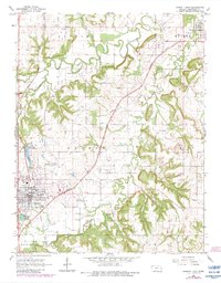
Other maps of this area

1885 · Garnett
USGS Topo · 1:125,000

1894 · Garnett
USGS Topo · 1:125,000

1947 · Lawrence
USGS Topo · 1:250,000

1950 · Lawrence
USGS Topo · 1:250,000

1956 · Lawrence
USGS Topo · 1:250,000

1961 · Lawrence
USGS Topo · 1:250,000
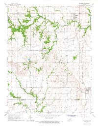
1965 · Richmond
USGS Topo · 1:24,000
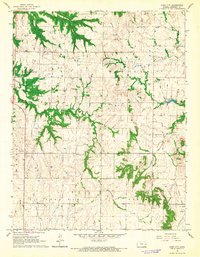
1966 · Bush City
USGS Topo · 1:24,000
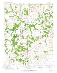
1966 · Lane
USGS Topo · 1:24,000
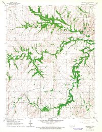
1966 · Centerville
USGS Topo · 1:24,000