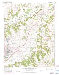
1966 Map of Garnett East
USGS Topo · Published 1983About this map
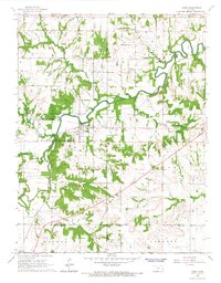
Pottawatomie Creek and its South Fork meander across this portion of Anderson County, defining the landscape of central eastern Kansas during the mid-1960s. The regional hub of Garnett sits at a major crossroads of both rail and road, where the Missouri Pacific and Atchison Topeka and Santa Fe lines converge near the town center. Local recreation and infrastructure are prominent, with Lake Garnett and Crystal Lake situated on the western outskirts near the Garnett Cemetery. Rural life is centered around small settlements like Greeley and Scipio, and traditional community landmarks such as Judy Sch and the St John Cem. Evidence of the area's resource economy appears through scattered Oil Wells and a Quarry located north of the city.
Find a feature on this map
28 named features on this map. Tap any name to fly to it.
Don’t see what you’re looking for? This feature index may not catch every label — zoom into the map to look around manually.
Map Details
Editions of this 1966 Garnett East Map
2 editions found
Other maps of this area

1885 · Garnett
USGS Topo · 1:125,000

1894 · Garnett
USGS Topo · 1:125,000

1947 · Lawrence
USGS Topo · 1:250,000

1950 · Lawrence
USGS Topo · 1:250,000

1956 · Lawrence
USGS Topo · 1:250,000

1961 · Lawrence
USGS Topo · 1:250,000
1965 · Richmond
USGS Topo · 1:24,000
1966 · Bush City
USGS Topo · 1:24,000
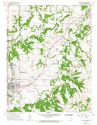
1966 · Garnett East
USGS Topo · 1:24,000
1966 · Lane
USGS Topo · 1:24,000