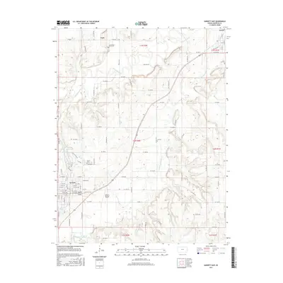
2015 Map of Garnett East
USGS Topo · Published 2015About this map
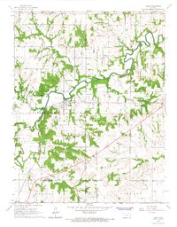
Garnett serves as the primary hub of this Anderson County landscape, situated where the local road network converges near the eastern banks of Lake Garnett and Crystal Lake. The town layout is defined by a traditional grid of streets, including W 4th Ave and S Main St, leading out toward the Garnett Municipal Airport and the expansive rural sections to the east. The terrain is deeply etched by the meandering courses of Pottawatomie Cr and its tributaries, such as the S Fork Pottawatomie Cr and Saline Cr, creating a broken topography that dictates the placement of farmsteads and rural cemeteries.
Find a feature on this map
74 named features on this map. Tap any name to fly to it.
Don’t see what you’re looking for? This feature index may not catch every label — zoom into the map to look around manually.
Map Details
Editions of this 2015 Garnett East Map
This is the sole edition of this map. No revisions or reprints were ever made.
Other maps of this area

1885 · Garnett
USGS Topo · 1:125,000

1894 · Garnett
USGS Topo · 1:125,000

1947 · Lawrence
USGS Topo · 1:250,000

1950 · Lawrence
USGS Topo · 1:250,000

1956 · Lawrence
USGS Topo · 1:250,000

1961 · Lawrence
USGS Topo · 1:250,000
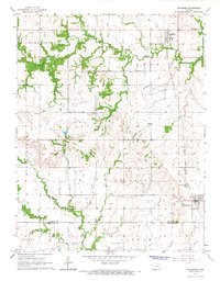
1965 · Richmond
USGS Topo · 1:24,000
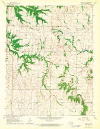
1966 · Bush City
USGS Topo · 1:24,000
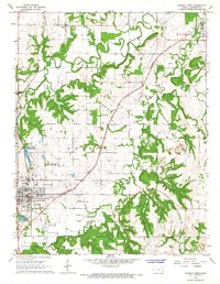
1966 · Garnett East
USGS Topo · 1:24,000
1966 · Lane
USGS Topo · 1:24,000