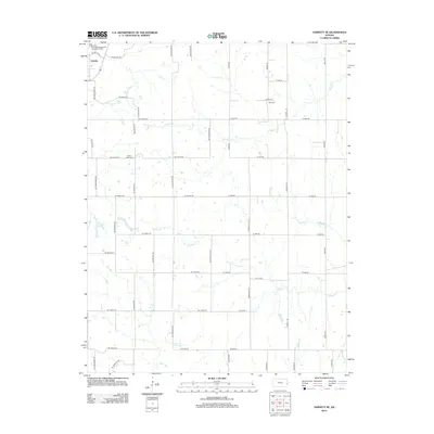
2012 Map of Garnett SE
USGS Topo · Published 2012About this map
Greeley anchors the northwest corner of this Anderson County landscape, situated along the north-south corridors of NE Wabaunsee Rd and NE Utah Rd. The terrain is defined by the winding paths of Middle Creek, Landers Creek, and Goodrich Creek, which create a complex drainage pattern across the central and southern sections of the map.
Find a feature on this map
47 named features on this map. Tap any name to fly to it.
Don’t see what you’re looking for? This feature index may not catch every label — zoom into the map to look around manually.
Map Details
Editions of this 2012 Garnett SE Map
This is the sole edition of this map. No revisions or reprints were ever made.
Other maps of this area

1885 · Garnett
USGS Topo · 1:125,000

1887 · Mound City
USGS Topo · 1:125,000

1893 · Mound City
USGS Topo · 1:125,000

1894 · Garnett
USGS Topo · 1:125,000

1947 · Lawrence
USGS Topo · 1:250,000

1950 · Lawrence
USGS Topo · 1:250,000

1956 · Lawrence
USGS Topo · 1:250,000

1961 · Lawrence
USGS Topo · 1:250,000

1963 · Parker
USGS Topo · 1:24,000
1963 · Osawatomie
USGS Topo · 1:24,000