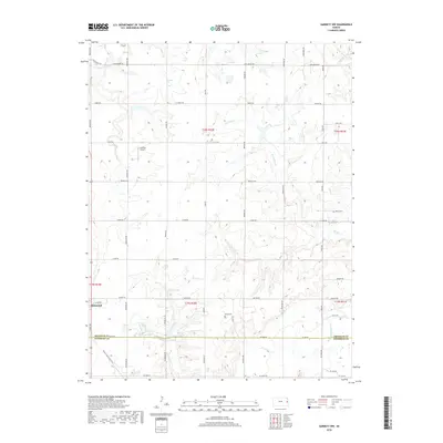
2018 Map of Garnett NW
USGS Topo · Published 2018About this map
Richmond anchors the southwestern portion of this landscape, situated at the boundary of Franklin and Anderson counties. This rural expanse is defined by the intricate drainage systems of the Sac Branch and Mosquito Creek, where the N Fork Sac Br and S Fork Sac Br carve through the prairie terrain. The map documents a transition in local transportation, featuring the Prairie Spirit Rail Trail following an established corridor south of town. Notable water features like Richmond Lake and Gilkey Lake provide distinct landmarks for local history and genealogy research. Settled life is further marked by the small landing strip at Cochran Airport and local burial grounds including Baker Cem and Berea Cem, which remain as persistent markers of the area's rural community structure.
Find a feature on this map
50 named features on this map. Tap any name to fly to it.
Don’t see what you’re looking for? This feature index may not catch every label — zoom into the map to look around manually.
Map Details
Editions of this 2018 Garnett NW Map
This is the sole edition of this map. No revisions or reprints were ever made.
Other maps of this area

1885 · Garnett
USGS Topo · 1:125,000

1885 · Lawrence
USGS Topo · 1:125,000

1889 · Lawrence
USGS Topo · 1:125,000

1894 · Garnett
USGS Topo · 1:125,000

1947 · Lawrence
USGS Topo · 1:250,000

1950 · Lawrence
USGS Topo · 1:250,000

1956 · Ottawa South
USGS Topo · 1:24,000

1956 · Lawrence
USGS Topo · 1:250,000

1961 · Lawrence
USGS Topo · 1:250,000
1962 · Peoria
USGS Topo · 1:24,000