Old Maps of Sharon, Kansas for Academic Research
Study the evolution of Sharon with 17 high-resolution historic maps. Whether you're teaching, researching, or modeling changes in land use, these maps provide essential visual documentation of urban, environmental, and geographic change.
- Analyze long-term change: Track patterns in development, transportation, and natural features.
- Ideal for environmental or urban studies: Support academic projects with primary historical map data.
- Use in the classroom or lab: Educators and researchers rely on these maps to bring historical context to life.
These maps are a powerful tool for teaching, research, and visualizing how Sharon has changed over the decades.
Sharon, KS maps
(17)- 1889 Map of Anthony
 1889 Anthony1889 Print · USGSSouthern Kansas prairie life centered on the rising rail hubs of Anthony and Harper during this late-century expansion. Genealogists and historians can trace original townites and early rail stops like Crystal Springs, New Kiowa, and Ruella.
 - 1891 Map of Anthony
 1891 Anthony1891 Print · USGSSouthern Kansas is captured here in the late nineteenth century as the railroads solidified the prairie's town-and-country layout. Trace the development of early rail hubs like Anthony, Harper, and Hazelton alongside landmarks such as Pilot Knob.6 unique versions available
 - 1955 Map of Pratt, 1968 Print
 1955 Pratt1968 Print · USGSSouth-central Kansas during the mid-fifties presents a landscape of sprawling oil fields and critical rail junctions. Researchers can trace the paths of the Atchison Topeka and Santa Fe railroad or locate local landmarks like the Blue Ridge Community House and Camp Carlisle.3 unique versions available
 - 1959 Map of Pratt
 1959 Pratt1959 Print · USGSSouth-central Kansas thrived as a rail and agricultural hub in the late fifties, where the Arkansas River meets a vast grid of section roads. Researchers can trace the path of the Missouri Pacific railroad through settlements like Turon and Stafford, or locate family landmarks like the Prairie Oak School.2 unique versions available
 - 1972 Map of Sharon South, 1975 Print
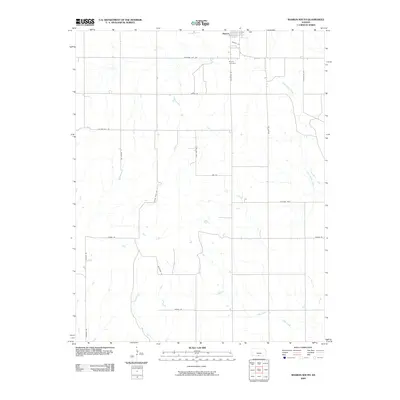
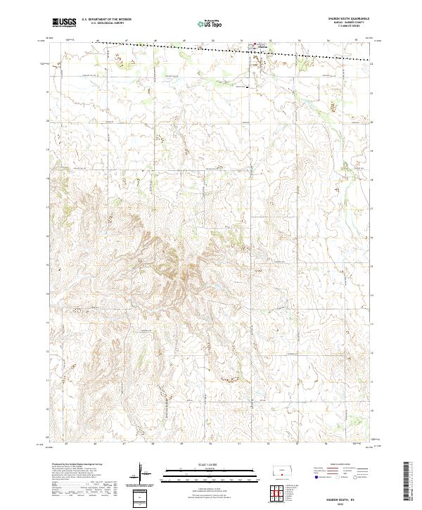
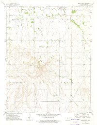 1972 Sharon South1975 Print · USGSBarber County in the early 1970s shows a landscape where prairie agriculture meets the energy industry. Researchers can trace the Atchison Topeka and Santa Fe rails through Sharon or find family roots at Sharon Cem and Bethel Ch.
 - 1973 Map of Sharon North, 1975 Print
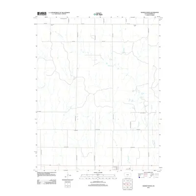
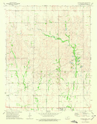 1973 Sharon North1975 Print · USGSBarber County, Kansas, is captured here in the early 1970s, showcasing the agricultural and energy-driven character of the plains. Trace the local heritage of Sharon and locate family burial sites at Mumford Cem or St Boniface Cem near the A T & S F tracks.
 - 1985 Map of Medicine Lodge
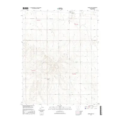
 1985 Medicine Lodge1985 Print · USGSThe Kansas prairie of the mid-eighties shows a landscape of deep-rooted rail towns and historic land divisions. Genealogists and researchers can trace the Old Indian Treaty Boundary and locate family sites near Riverview Cem or the town of Anthony.2 unique versions available
 - 2009 Map of Sharon North, 2009 Print
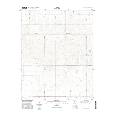
 2009 Sharon North2009 Print · USGSCovers Sharon, including Barber County, United States, and other nearby areas
 - 2009 Map of Sharon South, 2009 Print
 2009 Sharon South2009 Print · USGSCovers Sharon, including Barber County, United States, and other nearby areas
 - 2012 Map of Sharon North, 2012 Print
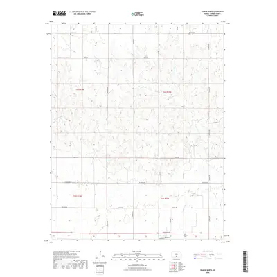
 2012 Sharon North2012 Print · USGSCovers Sharon, including Barber County, United States, and other nearby areas
 - 2012 Map of Sharon South, 2012 Print
 2012 Sharon South2012 Print · USGSCovers Sharon, including Barber County, United States, and other nearby areas
 - 2015 Map of Sharon South, 2015 Print
 2015 Sharon South2015 Print · USGSCovers Sharon, including Barber County, United States, and other nearby areas
 - 2015 Map of Sharon North, 2015 Print
 2015 Sharon North2015 Print · USGSCovers Sharon, including Barber County, United States, and other nearby areas
 - 2018 Map of Sharon North, 2018 Print
 2018 Sharon North2018 Print · USGSCovers Sharon, including Barber County, United States, and other nearby areas
 - 2018 Map of Sharon South, 2018 Print
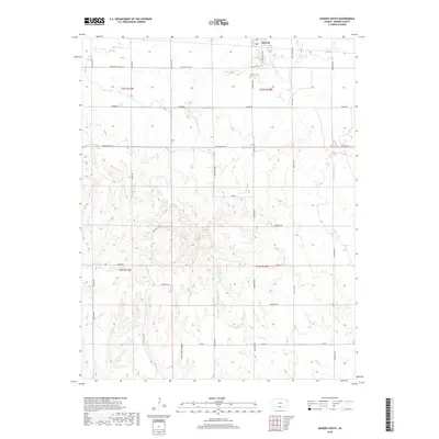 2018 Sharon South2018 Print · USGSCovers Sharon, including Barber County, United States, and other nearby areas
 - 2022 Map of Sharon South, 2022 Print
 2022 Sharon South2022 Print · USGSBarber County ranching and farmland are captured in the early 2020s as the township grid transitions into the breaks of Lone Tree Canyon. Researchers can trace local lineage near Sharon Cem and navigate rural corridors like Crooked Post and Plum Thicket Rd.
 - 2022 Map of Sharon North, 2022 Print
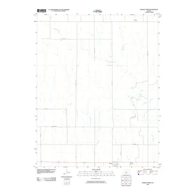
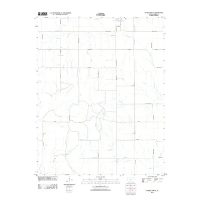
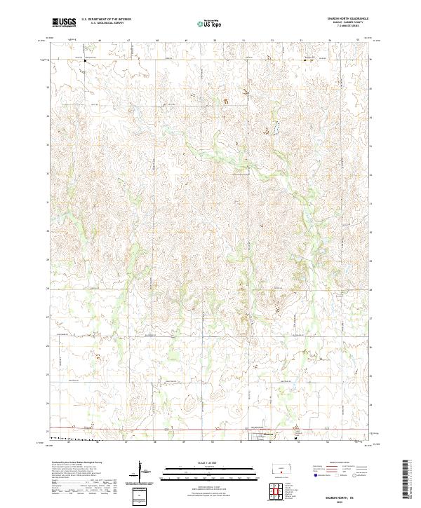 2022 Sharon North2022 Print · USGSBarber County's agricultural heartland is captured here in the early twenty-first century, centered on the community of Sharon. Genealogists can locate family burial sites at Mumford Cem, Burgess Cem, and Saint Boniface Cem along the quiet reaches of Little Sandy Cr.
End of results
Showing maps 1-17 of 17
Top cities near Sharon
- Medicine Lodge historical maps
- Kiowa historical maps
- Attica historical maps
- Hazelton historical maps
- Zenda historical maps
- Isabel historical maps
See more
Frequently asked questions
- What are the different types of historical maps available for Sharon?
- What is the oldest map of Sharon?
- Where can I purchase historical maps of Sharon for my home or office?
- Where can I download high-res historical maps of Sharon?
- Are there historical topographic maps available for Sharon?
- Is there historical aerial imagery available for Sharon?
- Where are historical maps of Sharon sourced from?