2000s (21st Century) Maps of Butler County, Kansas
Explore 180 historic maps of Butler County from the 2000s (21st Century). These maps offer a rare glimpse into what life looked like during the 2000s — showing old roads, neighborhoods, homes, and landmarks that have changed or disappeared over time.
Whether you're researching your family's past, planning a metal detecting trip, or studying how Butler County's landscape evolved across the 2000s, these high-resolution maps are a powerful tool for exploring the history of this region.
- Focus on a specific era: All maps on this page are from the 2000s, giving you a focused view of this time period.
- See what’s changed: Compare century-old streets, trails, and buildings to today's modern landscape using overlays and satellite layers.
- Research with precision: Use these maps for genealogy, historical research, land use analysis, or educational projects.
- View, download, or print: Maps are fully viewable online in high resolution, and can be downloaded or printed for your own records.
Start exploring Butler County's history through authentic maps from the 2000s. This is your window into the past.
Butler County, KS maps
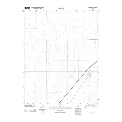
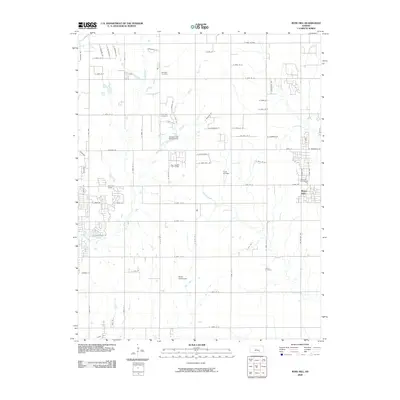
(180)- 2009 Map of Elbing, 2009 Print
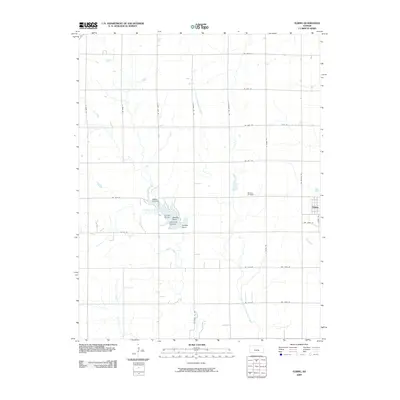 2009 Elbing2009 Print · USGSCovers Butler County, including Walton, Elbing, and other nearby areas
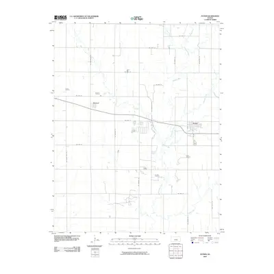
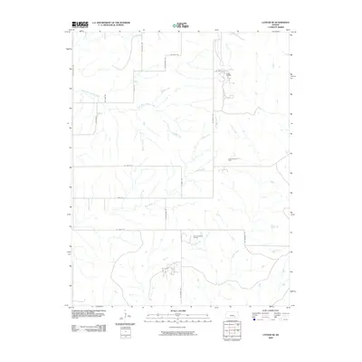
 - 2009 Map of Pontiac, 2009 Print
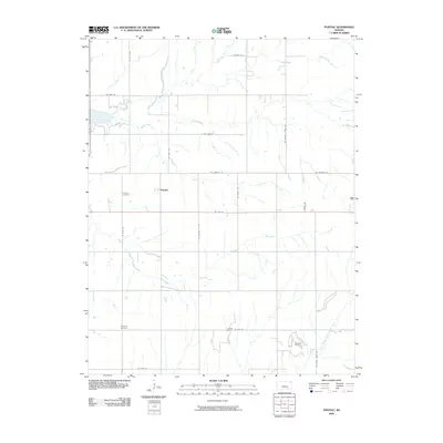 2009 Pontiac2009 Print · USGSCovers Butler County, including Pontiac, United States, and other nearby areas
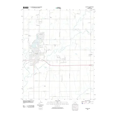
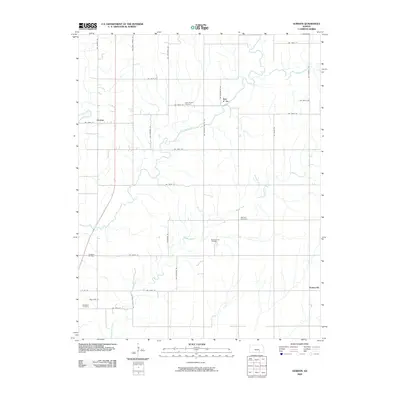
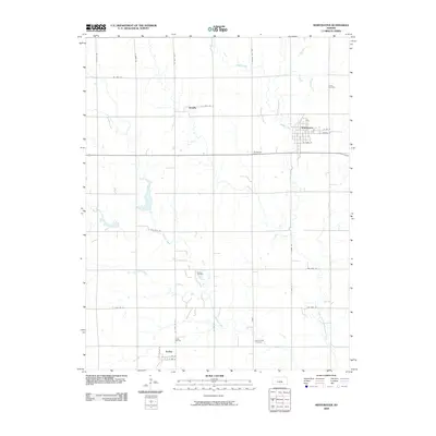
 - 2009 Map of Andover, 2009 Print
 2009 Andover2009 Print · USGSCovers Butler County, including Wichita, Andover, and other nearby areas
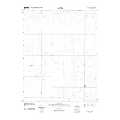
 - 2009 Map of Augusta, 2009 Print
 2009 Augusta2009 Print · USGSCovers Butler County, including Augusta, Haverhill, and other nearby areas
 - 2009 Map of Beaumont, 2009 Print
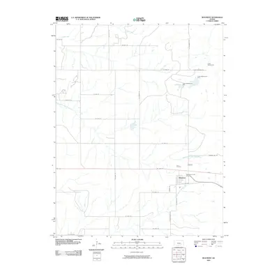 2009 Beaumont2009 Print · USGSCovers Butler County, including Beaumont, Greenwood County, and other nearby areas
 - 2009 Map of Matfield Green SE, 2009 Print
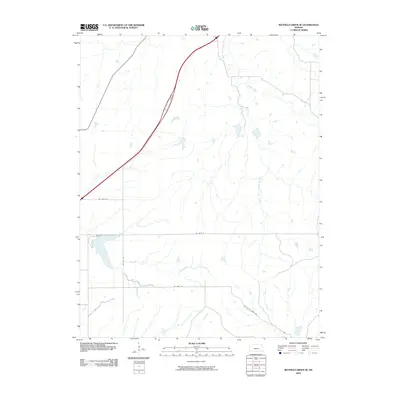 2009 Matfield Green SE2009 Print · USGSCovers Butler County, including Greenwood County, Chase County, and other nearby areas
 - 2009 Map of Florence SE, 2009 Print
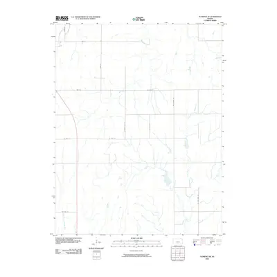 2009 Florence SE2009 Print · USGSCovers Butler County, including Marion County, Chase County, and other nearby areas
 - 2009 Map of Douglass, 2009 Print
 2009 Douglass2009 Print · USGSCovers Butler County, including Rose Hill, Douglass, and other nearby areas
 - 2009 Map of Greenwich, 2009 Print
 2009 Greenwich2009 Print · USGSCovers Butler County, including Wichita, Bel Aire, and other nearby areas
 - 2009 Map of Potwin, 2009 Print
 2009 Potwin2009 Print · USGSCovers Butler County, including Potwin, Brainerd, and other nearby areas
 - 2009 Map of Cassoday, 2009 Print
 2009 Cassoday2009 Print · USGSCovers Butler County, including Cassoday, Chase County, and other nearby areas
 - 2009 Map of Gordon, 2009 Print
 2009 Gordon2009 Print · USGSCovers Butler County, including Douglass, Gordon, and other nearby areas
 - 2009 Map of Augusta SE, 2009 Print
 2009 Augusta SE2009 Print · USGSCovers Butler County, including Bloomington, Clay Center, and other nearby areas
 - 2009 Map of Leon, 2009 Print
 2009 Leon2009 Print · USGSCovers Butler County, including Leon, Pickrell Corner, and other nearby areas
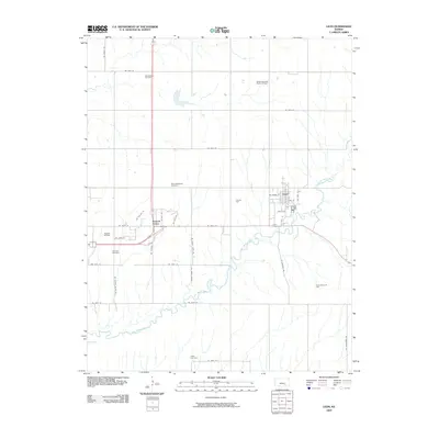
 - 2009 Map of Latham, 2009 Print
 2009 Latham2009 Print · USGSCovers Butler County, including Latham, United States, and other nearby areas
 - 2009 Map of Peabody SE, 2009 Print
 2009 Peabody SE2009 Print · USGSCovers Butler County, including Elbing, Marion County, and other nearby areas
 - 2009 Map of Santa Fe Lake, 2009 Print
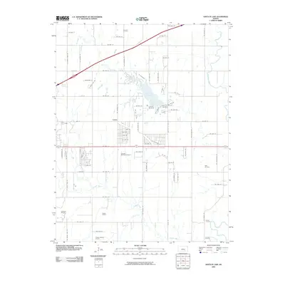 2009 Santa Fe Lake2009 Print · USGSCovers Butler County, including Andover, Augusta, and other nearby areas
 - 2009 Map of Rose Hill, 2009 Print
 2009 Rose Hill2009 Print · USGSCovers Butler County, including Wichita, Derby, and other nearby areas
 - 2009 Map of Latham SE, 2009 Print
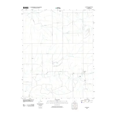
 2009 Latham SE2009 Print · USGSCovers Butler County, including Elk County, Greenwood County, and other nearby areas
 - 2009 Map of Whitewater, 2009 Print
 2009 Whitewater2009 Print · USGSCovers Butler County, including Whitewater, Furley, and other nearby areas
 - 2009 Map of Rosalia NW, 2009 Print
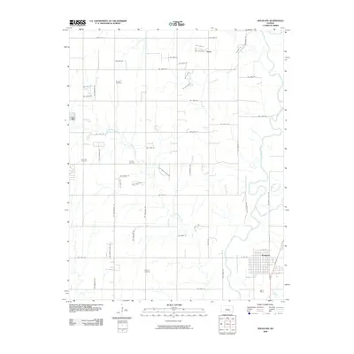
 2009 Rosalia NW2009 Print · USGSCovers Butler County, including Aikman, United States, and other nearby areas
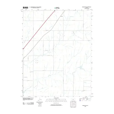
 - 2009 Map of El Dorado NW, 2009 Print
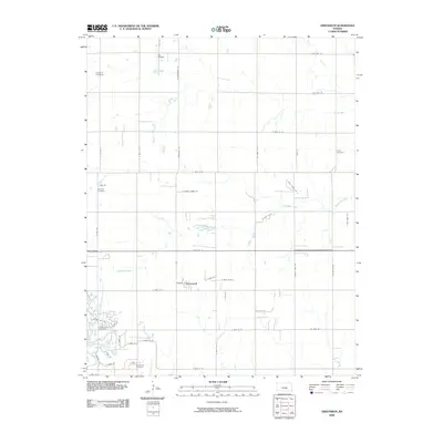
 2009 El Dorado NW2009 Print · USGSCovers Butler County, including Hopkins, United States, and other nearby areas
 - 2010 Map of Wilmot, 2010 Print
 2010 Wilmot2010 Print · USGSCovers Butler County, including Wilmot, Cowley County, and other nearby areas
 - 2010 Map of Udall, 2010 Print
 2010 Udall2010 Print · USGSCovers Butler County, including Udall, Rock, and other nearby areas
 - 2010 Map of Mulvane, 2010 Print
 2010 Mulvane2010 Print · USGSCovers Butler County, including Mulvane, Udall, and other nearby areas
Showing maps 1-25 of 180
Top cities of Butler County
- El Dorado historical maps
- Andover historical maps
- Augusta historical maps
- Rose Hill historical maps
- Prospect historical maps
- Douglass historical maps
See more
Frequently asked questions
- What are the different types of historical maps available for Butler County?
- What is the oldest map of Butler County?
- Where can I purchase historical maps of Butler County for my home or office?
- Where can I download high-res historical maps of Butler County?
- Are there historical topographic maps available for Butler County?
- Is there historical aerial imagery available for Butler County?
- Where are historical maps of Butler County sourced from?