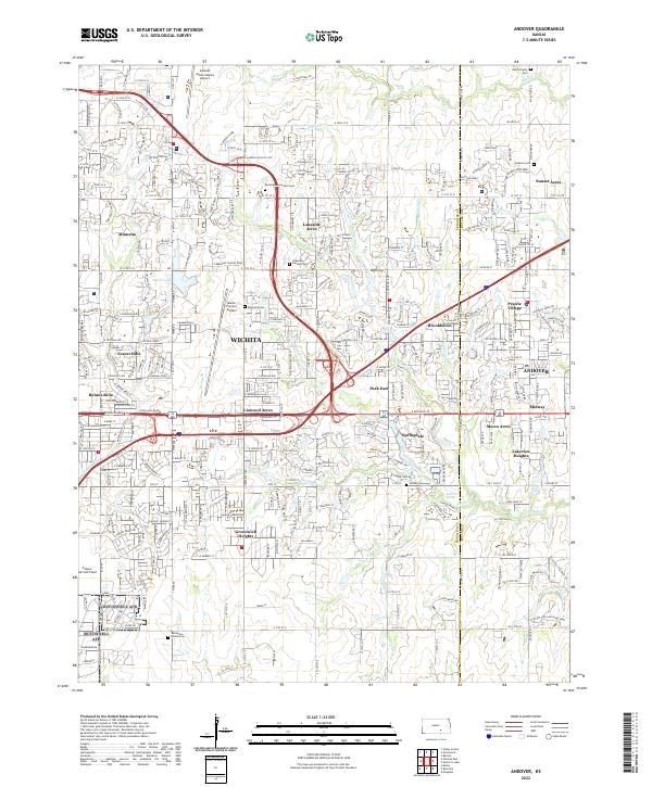
2000s (21st Century) Maps of Andover, Kansas
Explore 10 historic maps of Andover from the 2000s (21st Century). These maps offer a rare glimpse into what life looked like during the 2000s — showing old roads, neighborhoods, homes, and landmarks that have changed or disappeared over time.
Whether you're researching your family's past, planning a metal detecting trip, or studying how Andover's landscape evolved across the 2000s, these high-resolution maps are a powerful tool for exploring the history of this region.
- Focus on a specific era: All maps on this page are from the 2000s, giving you a focused view of this time period.
- See what’s changed: Compare century-old streets, trails, and buildings to today's modern landscape using overlays and satellite layers.
- Research with precision: Use these maps for genealogy, historical research, land use analysis, or educational projects.
- View, download, or print: Maps are fully viewable online in high resolution, and can be downloaded or printed for your own records.
Start exploring Andover's history through authentic maps from the 2000s. This is your window into the past.
Andover, KS maps
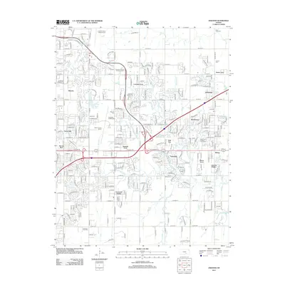
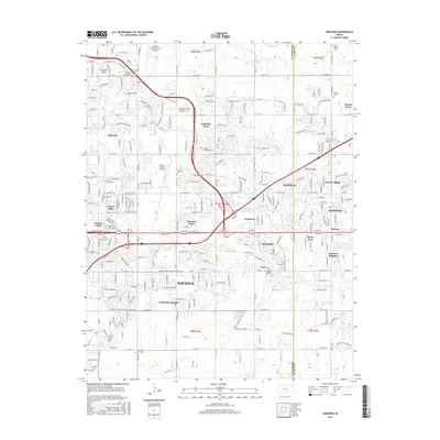
(10)- 2009 Map of Andover, 2009 Print
 2009 Andover2009 Print · USGSCovers Andover, including Wichita, Minneha, and other nearby areas
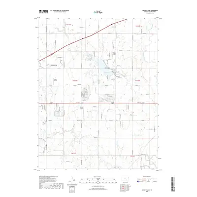
 - 2009 Map of Santa Fe Lake, 2009 Print
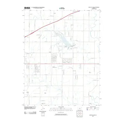 2009 Santa Fe Lake2009 Print · USGSCovers Andover, including Augusta, Lorena, and other nearby areas
 - 2012 Map of Andover, 2012 Print
 2012 Andover2012 Print · USGSCovers Andover, including Wichita, Minneha, and other nearby areas
 - 2012 Map of Santa Fe Lake, 2012 Print
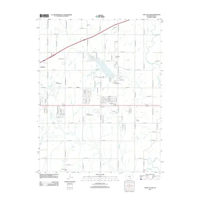 2012 Santa Fe Lake2012 Print · USGSCovers Andover, including Augusta, Lorena, and other nearby areas
 - 2015 Map of Santa Fe Lake, 2015 Print
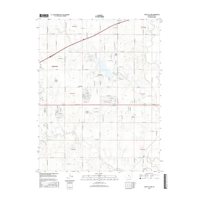 2015 Santa Fe Lake2015 Print · USGSCovers Andover, including Augusta, Lorena, and other nearby areas
 - 2015 Map of Andover, 2015 Print
 2015 Andover2015 Print · USGSCovers Andover, including Wichita, Minneha, and other nearby areas
 - 2018 Map of Santa Fe Lake, 2018 Print
 2018 Santa Fe Lake2018 Print · USGSCovers Andover, including Augusta, Lorena, and other nearby areas
 - 2018 Map of Andover, 2018 Print
 2018 Andover2018 Print · USGSCovers Andover, including Wichita, Minneha, and other nearby areas
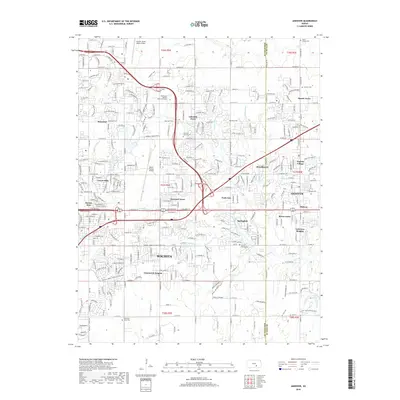
 - 2022 Map of Andover, 2022 Print
 2022 Andover2022 Print · USGSEastern Wichita and Andover appear here in the early 2020s, showcasing a landscape where aviation history and suburban growth converge. Genealogists and researchers can trace local family landmarks like Deem Family Cem and the sprawling Beech Factory Airport.
 - 2022 Map of Santa Fe Lake, 2022 Print
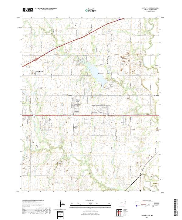 2022 Santa Fe Lake2022 Print · USGSThe Butler County plains come alive in this survey of the area surrounding Santa Fe Lake. Genealogists and historians can locate Indianola Cem, the settlement of Lorena, and private airstrips like Sills Air Park.
End of results
Showing maps 1-10 of 10
Top cities near Andover
- Wichita historical maps
- Derby historical maps
- El Dorado historical maps
- Haysville historical maps
- Augusta historical maps
- Park City historical maps
See more
Top neighborhoods of Andover
- Mecca Acres historical maps
- Midway historical maps
- Prairie Village historical maps
- Lakeview Heights historical maps
- Crescent Lakes historical maps
Frequently asked questions
- What are the different types of historical maps available for Andover?
- What is the oldest map of Andover?
- Where can I purchase historical maps of Andover for my home or office?
- Where can I download high-res historical maps of Andover?
- Are there historical topographic maps available for Andover?
- Is there historical aerial imagery available for Andover?
- Where are historical maps of Andover sourced from?