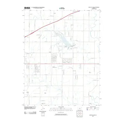
2009 Map of Santa Fe Lake
USGS Topo · Published 2009About this map
Santa Fe Lake and its associated Santa Fe Lake Dam form the centerpiece of this landscape east of Wichita, where the Kansas prairie meets suburban expansion. The area is defined by a dense network of local roads and recreational sites like Camp Ta Wa Ko Ni, balanced by quiet legacy sites such as Indianola Cemetery and Golden Cemetery.
Find a feature on this map
82 named features on this map. Tap any name to fly to it.
Don’t see what you’re looking for? This feature index may not catch every label — zoom into the map to look around manually.
Map Details
Editions of this 2009 Santa Fe Lake Map
This is the sole edition of this map. No revisions or reprints were ever made.
Other maps of this area

1888 · Eldorado
USGS Topo · 1:125,000

1889 · Wichita
USGS Topo · 1:125,000

1894 · Wichita
USGS Topo · 1:125,000

1945 · Andover
USGS Topo · 1:31,680

1955 · Santa Fe Lake
USGS Topo · 1:24,000

1955 · Benton
USGS Topo · 1:24,000

1955 · Greenwich
USGS Topo · 1:24,000

1955 · Rose Hill
USGS Topo · 1:24,000

1955 · Douglass
USGS Topo · 1:24,000

1955 · Wichita
USGS Topo · 1:250,000