2020s Maps of Chautauqua County, Kansas
Explore 24 historic maps of Chautauqua County from the 2020s. These maps offer a rare glimpse into what life looked like during the 2020s — showing old roads, neighborhoods, homes, and landmarks that have changed or disappeared over time.
Whether you're researching your family's past, planning a metal detecting trip, or studying how Chautauqua County's landscape evolved across the 2020s, these high-resolution maps are a powerful tool for exploring the history of this region.
- Focus on a specific era: All maps on this page are from the 2020s, giving you a focused view of this time period.
- See what’s changed: Compare century-old streets, trails, and buildings to today's modern landscape using overlays and satellite layers.
- Research with precision: Use these maps for genealogy, historical research, land use analysis, or educational projects.
- View, download, or print: Maps are fully viewable online in high resolution, and can be downloaded or printed for your own records.
Start exploring Chautauqua County's history through authentic maps from the 2020s. This is your window into the past.
Chautauqua County, KS maps
(24)- 2022 Map of Caney NW, 2022 Print
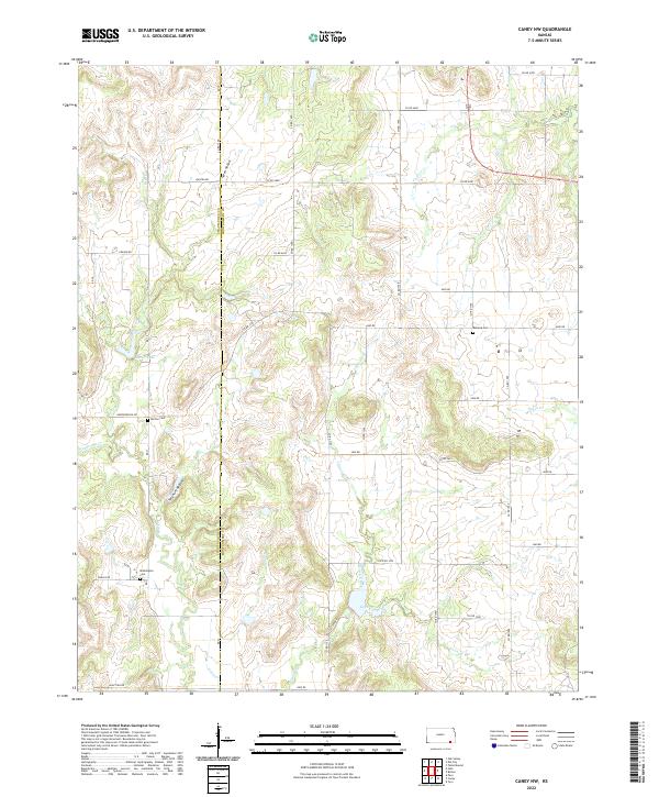 2022 Caney NW2022 Print · USGSMontgomery County land use and drainage patterns are on clear display in this recent survey of the Kansas countryside. Genealogists can locate family burial sites at Washington Cem, Burton Cem, and Rutland Cem along the quiet county roads.
 - 2022 Map of Elk City, 2022 Print
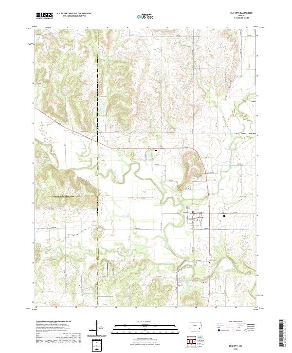 2022 Elk City2022 Print · USGSElk City and the surrounding Montgomery County countryside appear here in the early 2020s, showing the intersection of the Elk River and Salt Cr. Researchers can locate historic burial sites like Oak Hill Cem and Star Center Cem alongside rural landmarks such as Darbro Field.
 - 2022 Map of Caney, 2022 Print
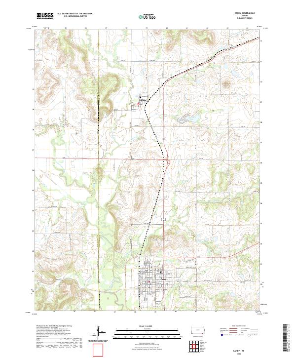 2022 Caney2022 Print · USGSSouthern Montgomery County comes into focus in the early 2020s, centered on the growing town of Caney. Genealogists and local historians can trace family locations near Sunny Side Cem or explore the rural reaches surrounding Havana and Round Mound.
 - 2022 Map of Elgin NE, 2022 Print
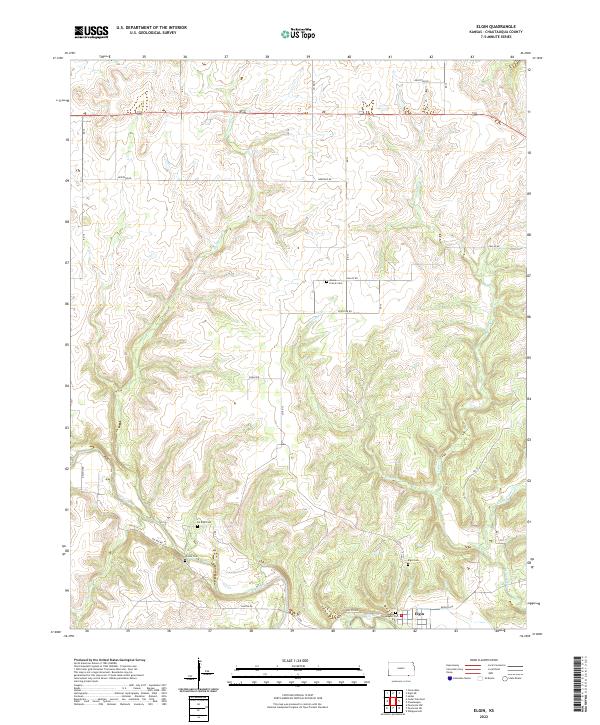
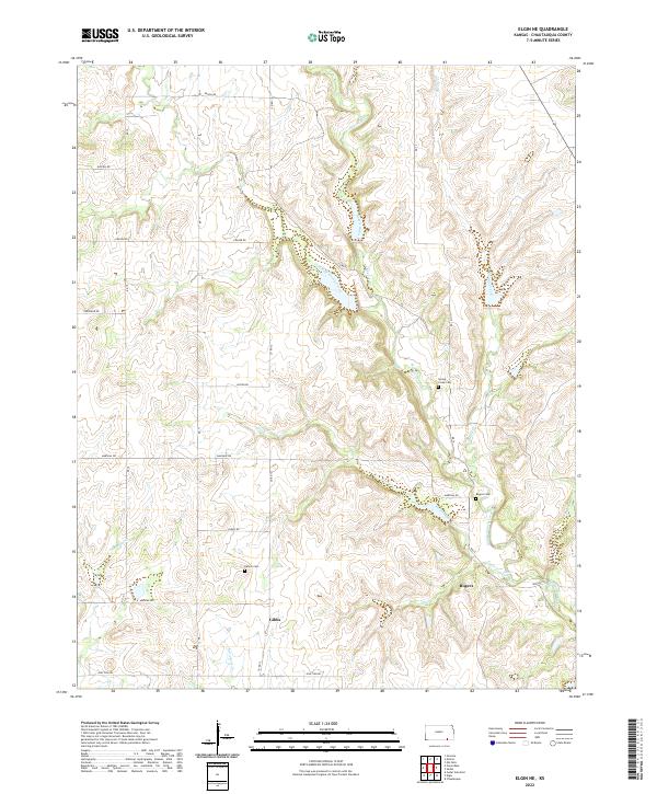 2022 Elgin NE2022 Print · USGSThe Kansas ranching country of Chautauqua County is captured here in its modern pastoral state. Genealogists and researchers can trace local family lineages through Denick Cem, Rogers Cem, and the waters of Butcher Falls.
 - 2022 Map of Elgin, 2022 Print
 2022 Elgin2022 Print · USGSThe Kansas-Oklahoma borderlands south of Sedan are captured here in the early 2020s, centered on the Caney River. Researchers can locate several burial sites including Moore Prairie Cem, De Bask Cem, and Magee Cem.
 - 2022 Map of Moline, 2022 Print
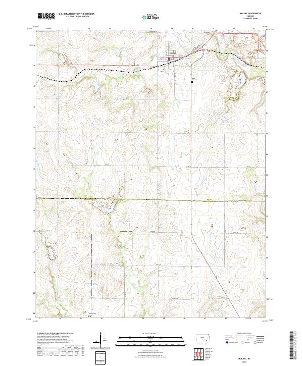 2022 Moline2022 Print · USGSThe rural landscape of southeast Kansas comes into focus in this recent survey of the Elk and Chautauqua county line. Genealogists and local historians can locate family burial sites at Mount Olivet Cem and Ames Cem or trace the riparian corridors of Wildcat Creek and Santa Fe Lake.
 - 2022 Map of Sedan, 2022 Print
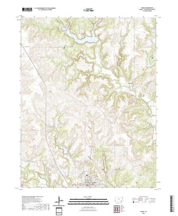 2022 Sedan2022 Print · USGSSoutheast Kansas at the start of the 2020s shows a landscape defined by its prairie creeks and the established seat of Sedan. Researchers can trace local history through the Chautauqua County Courthouse, Union Chapel Cem, and the settlement at Grafton.
 - 2022 Map of Peru, 2022 Print
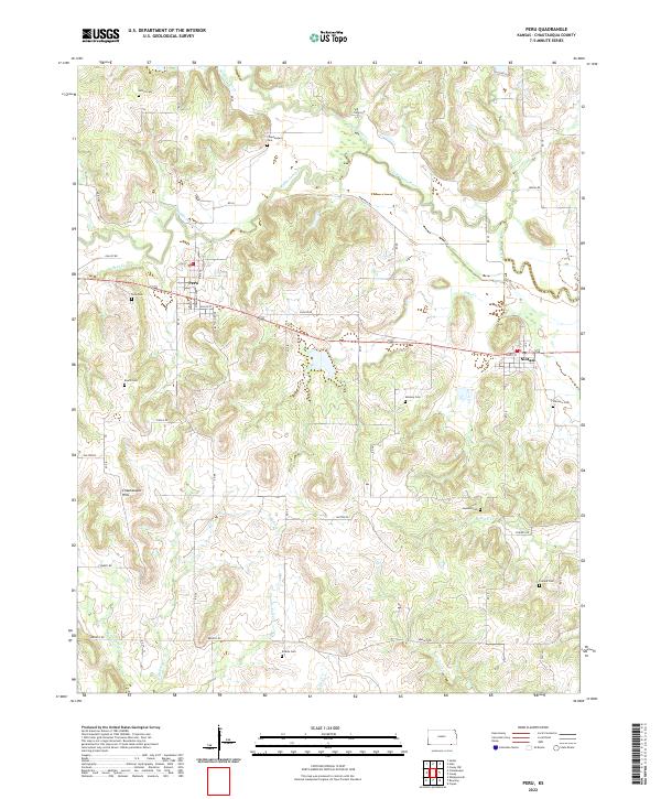 2022 Peru2022 Print · USGSSoutheast Kansas at the start of the 2020s remains a landscape of quiet hills and small creek-side settlements. Researchers can trace family history through nearly a dozen rural burial sites, including Chautauqua Cem, Mooney Cem, and Booth Cem.
 - 2022 Map of Elk Falls, 2022 Print
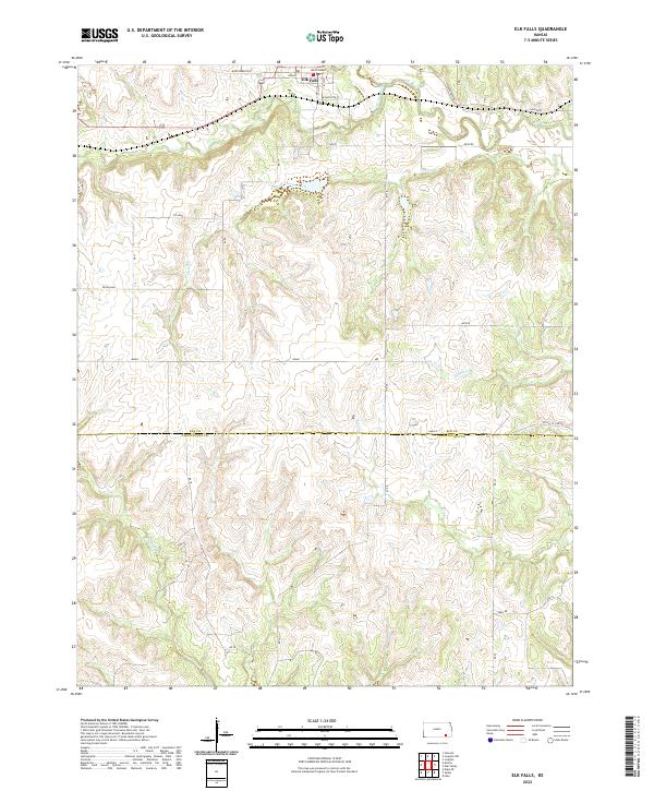 2022 Elk Falls2022 Print · USGSThe settlement of Elk Falls and the winding Elk River dominate this modern survey of the Kansas Flint Hills. Trace rural landmarks and family-named routes like Montgomery Rd or follow the path of N Caney Cr into Chautauqua County.
 - 2022 Map of Hale, 2022 Print
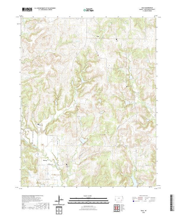 2022 Hale2022 Print · USGSChautauqua County in the early twenty-first century remains a landscape of quiet creek valleys and dispersed settlements. Researchers can trace the drainage of North Caney Creek or locate family burial sites at Riley Memorial Cem and Mount Vernon Cem.
 - 2022 Map of Cedar Vale West, 2022 Print
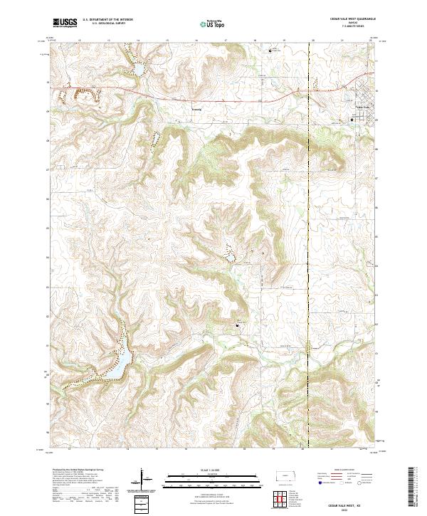 2022 Cedar Vale West2022 Print · USGSCowley County's western rangelands come into focus in the early 2020s as the hills descend toward the valley of Rock Cr. Researchers can trace old family lineages at Rock Creek Cem or locate the quiet crossroads of Taussig and the streets of Cedar Vale.
 - 2022 Map of Oak Valley, 2022 Print
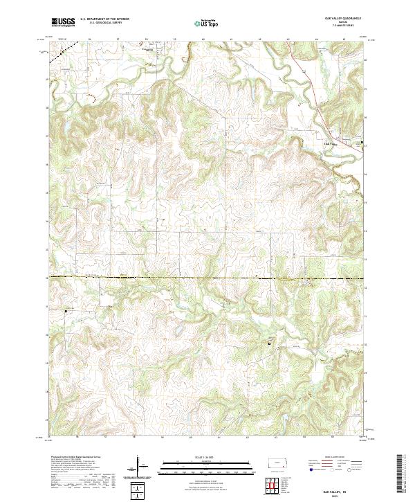 2022 Oak Valley2022 Print · USGSThe Elk River valley in southeastern Kansas is mapped here during the early twenty-first century. Researchers can trace the rural layouts of Longton and Oak Valley or locate family markers at Crum Cem and West Liberty Cem.
 - 2022 Map of Chautauqua, 2022 Print
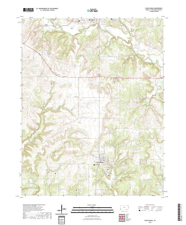 2022 Chautauqua2022 Print · USGSSoutheast Kansas at the turn of the 2020s shows a landscape deeply rooted in its early settlement patterns and topography. Genealogists and historians can trace numerous rural burial sites like Old McClarney Cem and Findley Cem near the town of Chautauqua.
 - 2022 Map of Cedar Vale East, 2022 Print
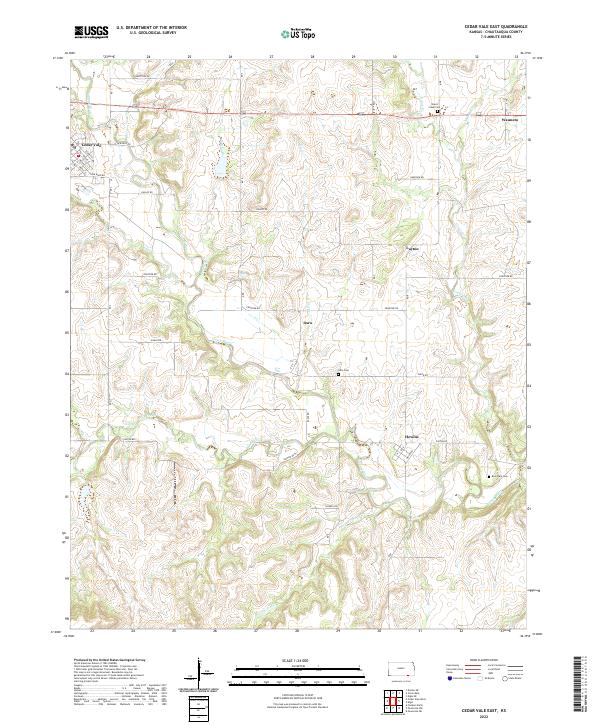 2022 Cedar Vale East2022 Print · USGSChautauqua County at the start of the 2020s remains a landscape of river-valley ranching and quiet rural hubs. Researchers can trace the local cemetery sites of Ozro and Rose Dale or locate the small centers of Hewins and Wauneta.
 - 2022 Map of Grand Summit, 2022 Print
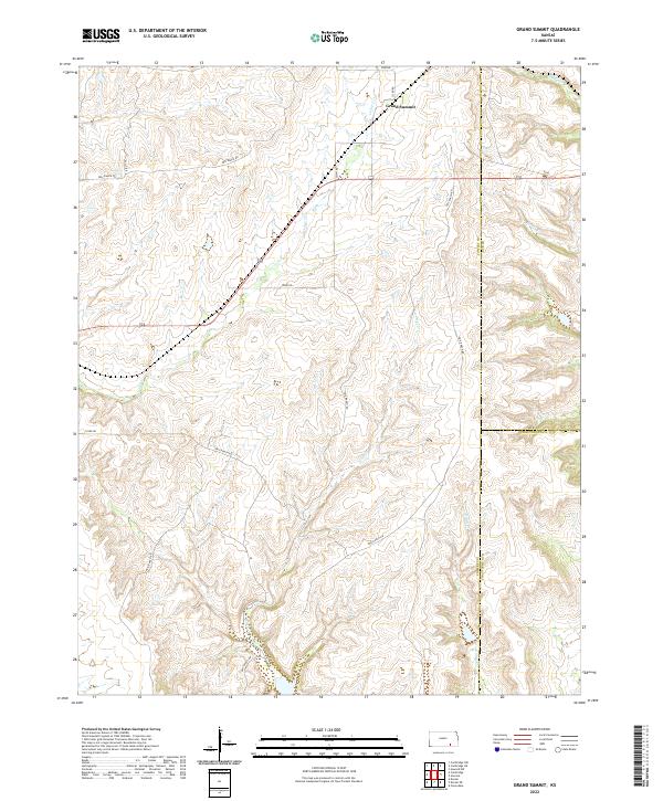 2022 Grand Summit2022 Print · USGSThe high prairies of Cowley County meet Elk and Chautauqua counties in this recent survey of ranching country. Trace the intricate drainages of Cedar Cr and Otter Cr alongside rural routes near the settlement of Grand Summit.
 - 2022 Map of Dexter NE, 2022 Print
 2022 Dexter NE2022 Print · USGSThe Flint Hills borderlands of Cowley and Chautauqua counties are captured here in the early twenty-first century. Genealogists and hikers can trace the winding paths of Jim Cr and Shafer Cr or locate landmarks like Hogback Hill.
 - 2022 Map of Whippoorwill, 2022 Print
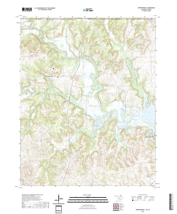 2022 Whippoorwill2022 Print · USGSOsage County near the Kansas line is captured in this modern survey of the Caney River valley. Genealogists and local historians can locate Boulangerville, trace family sites at Boulanger Cem, and explore landmarks like Artillery Mtn.
 - 2022 Map of Foraker North, 2022 Print
 2022 Foraker North2022 Print · USGSOsage County ranchlands meet the Kansas border in this recent survey of the prairie landscape. Researchers can locate Saint Johns Cem and trace the drainage of Elm Creek and Antelope Cr near the community of Foraker.
 - 2022 Map of Pearsonia NW, 2022 Print
 2022 Pearsonia NW2022 Print · USGSThe Osage County hills at the Oklahoma-Kansas border are captured here during the early twenty-first century. Genealogists and land researchers can trace the rural drainage patterns of Possum Trot Cr, Smith Cr, and Dog Cr across these historic ranching townships.
 - 2022 Map of Pearsonia NE, 2022 Print
 2022 Pearsonia NE2022 Print · USGSOsage County ranching country is documented here in the early twenty-first century, centered on the settlement of Elgin. Researchers can trace the winding paths of Caney River and Pond Creek through this remote landscape of ridges and creek valleys.
 - 2022 Map of Copan, 2022 Print
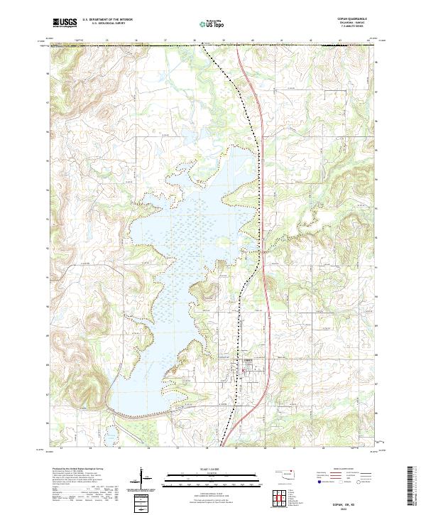 2022 Copan2022 Print · USGSUpper Washington County is defined by the waters of Copan Lake and the northern border with Kansas. Researchers can trace the layout of Copan or find rural landmarks like Owen, Youngs Lake, and the winding course of the Little Caney River.
 - 2022 Map of Bowring, 2022 Print
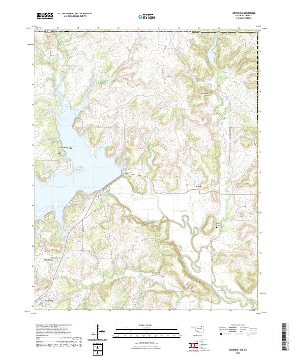 2022 Bowring2022 Print · USGSNorthern Osage County at the Oklahoma-Kansas border is shown here in the 2020s, dominated by the winding Caney River valley. Researchers can trace family history at the Labadie Family Cem and locate landmarks like Deadmans Rock and Bowring.
 - 2023 Map of Cloverdale, 2023 Print
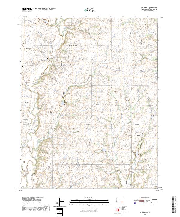 2023 Cloverdale2023 Print · USGSChautauqua County’s rural landscape is documented here in the early twenty-first century, centered on the Cloverdale community. Researchers can locate established family burial sites like Old Cloverdale Cem and Round Mound Cem near the Caney River.
 - 2023 Map of Grenola, 2023 Print
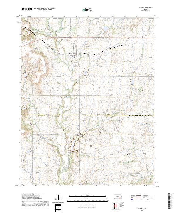 2023 Grenola2023 Print · USGSGrenola and the surrounding ranching country of southern Kansas are captured in the early twenty-first century. Genealogists and researchers can locate Green Lawn Cem and Pleasant Valley Cem, or trace the winding courses of the Caney River and Wolf Creek.
End of results
Showing maps 1-24 of 24
Top cities of Chautauqua County
- Sedan historical maps
- Cedar Vale historical maps
- Peru historical maps
- Niotaze historical maps
- Chautauqua historical maps
- Elgin historical maps
Frequently asked questions
- What are the different types of historical maps available for Chautauqua County?
- What is the oldest map of Chautauqua County?
- Where can I purchase historical maps of Chautauqua County for my home or office?
- Where can I download high-res historical maps of Chautauqua County?
- Are there historical topographic maps available for Chautauqua County?
- Is there historical aerial imagery available for Chautauqua County?
- Where are historical maps of Chautauqua County sourced from?