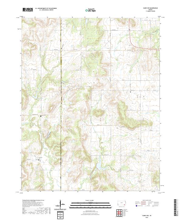
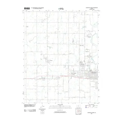
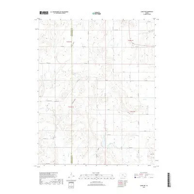
2022 Map of Caney NW
USGS Topo · Published 2022About this map
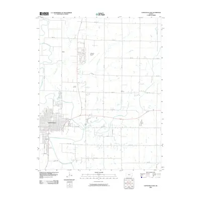
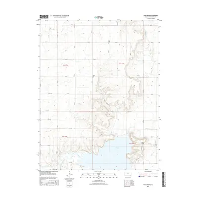
The borderlands between Chautauqua and Montgomery counties are defined by a network of drainage basins, where the headwaters of Illinois Creek and Bee Creek carve through the landscape. This rural section of Southeast Kansas is characterized by small-scale cattle ranching and farming, with the terrain marked by geographic features such as Sorghum Hollow and Green Hollow. A handful of family and community burial grounds, including Washington Cem and Burton Cem, serve as the primary markers of historical settlement in an area otherwise dominated by the geometric grid of rural roads like Quivira Rd and Kansas Rd. The presence of Bee Cr Lake provides a central water source amidst the rolling topography, while the eastern portion of the map is drained by the winding course of Onion Cr and Deer Cr.
Find a feature on this map
49 named features on this map. Tap any name to fly to it.
Don’t see what you’re looking for? This feature index may not catch every label — zoom into the map to look around manually.
Map Details
Editions of this 2022 Caney NW Map
This is the sole edition of this map. No revisions or reprints were ever made.
Historical Maps of Montgomery County Through Time
30 maps found
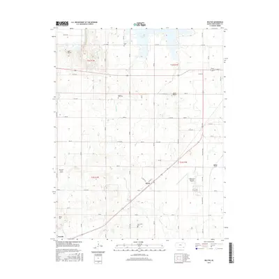
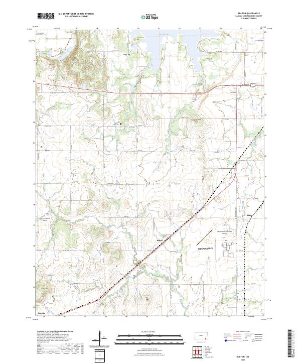
1959 Bolton
Montgomery County, KS
1959 Coffeyville West
Montgomery County, KS
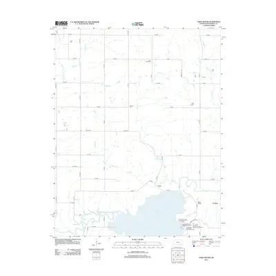
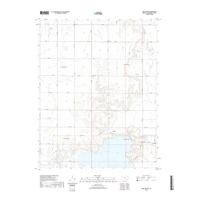
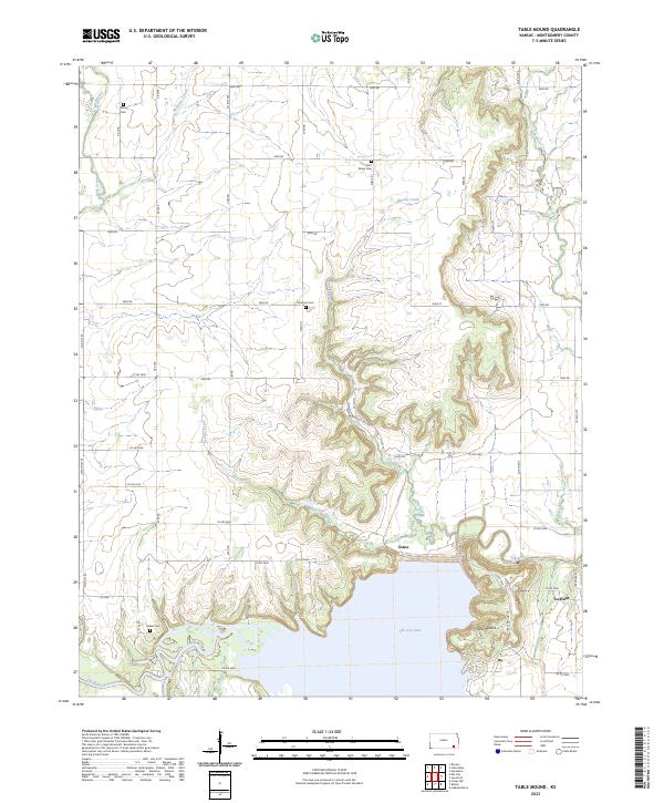
1961 Table Mound
Montgomery County, KS

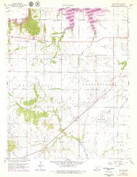
1962 Caney NW
Montgomery County, KS
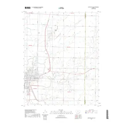
1962 Coffeyville East
Montgomery County, KS
2009 Coffeyville East
Montgomery County, KS
2010 Bolton
Montgomery County, KS
2010 Caney NW
Montgomery County, KS
2010 Coffeyville West
Montgomery County, KS
2010 Table Mound
Montgomery County, KS
2012 Bolton
Montgomery County, KS
2012 Caney NW
Montgomery County, KS
2012 Coffeyville East
Montgomery County, KS
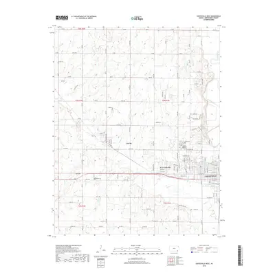
2012 Coffeyville West
Montgomery County, KS
2012 Table Mound
Montgomery County, KS
2015 Bolton
Montgomery County, KS
2015 Table Mound
Montgomery County, KS
2016 Caney NW
Montgomery County, KS

2016 Coffeyville East
Montgomery County, KS
2016 Coffeyville West
Montgomery County, KS
2018 Bolton
Montgomery County, KS
2018 Caney NW
Montgomery County, KS
2018 Coffeyville East
Montgomery County, KS
2018 Coffeyville West
Montgomery County, KS
2018 Table Mound
Montgomery County, KS
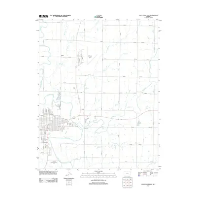
2022 Caney NW
Montgomery County, KS
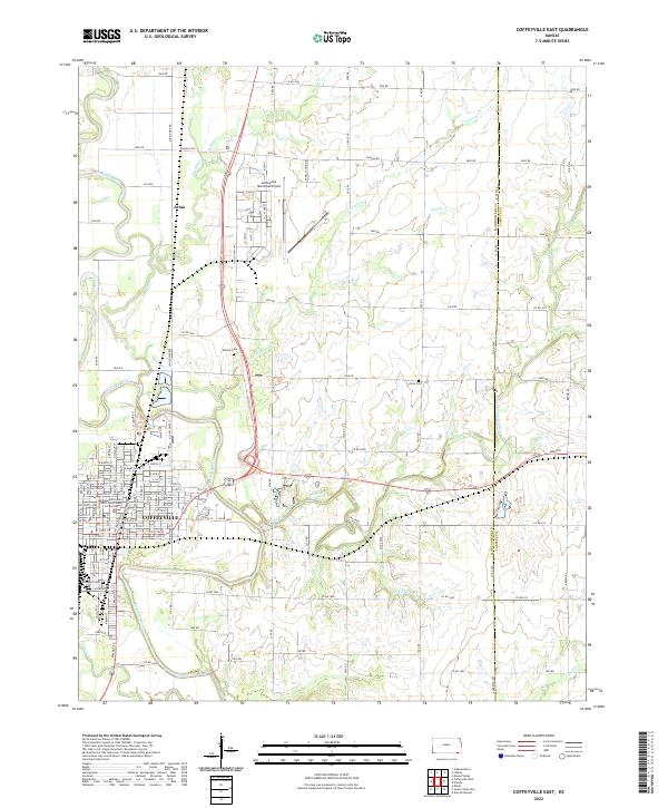
2022 Coffeyville East
Montgomery County, KS
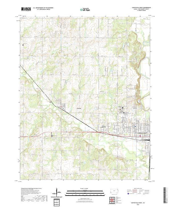
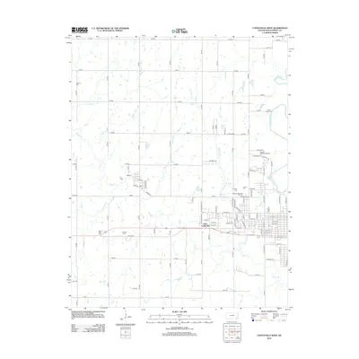
2022 Coffeyville West
Montgomery County, KS
2023 Bolton
Montgomery County, KS
2023 Table Mound
Montgomery County, KS